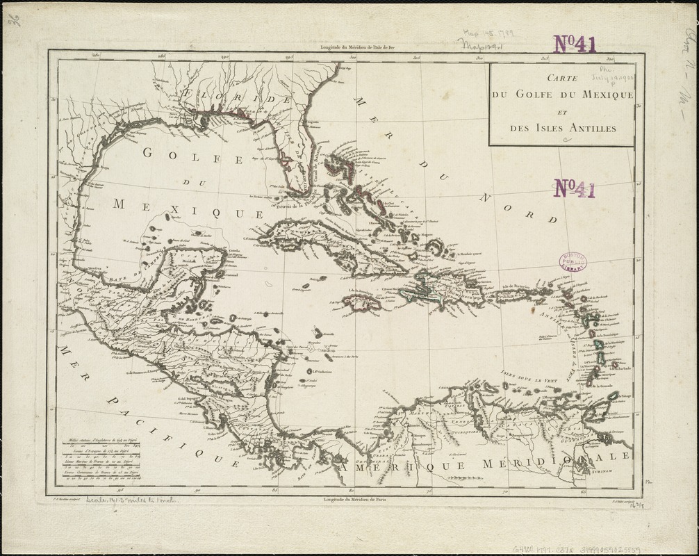
Carte du Golfe du Mexique et des Isles Antilles
This map is also available in American Revolutionary Geographies Online (ARGO), a collections portal especially built for material relating to the American Revolutionary War Era. Visit ARGO to learn more about this item and explore the historical geography of North America in the late eighteenth century.
Item Information
- Title:
- Carte du Golfe du Mexique et des Isles Antilles
- Name on Item:
-
P.F. Tardieu sculpsit. ; P.J. Valet scripsit.
- Date:
-
[1797?–1801?]
- Format:
-
Maps/Atlases
- Location:
-
Boston Public Library
Norman B. Leventhal Map & Education Center - Collection (local):
-
Norman B. Leventhal Map & Education Center Collection
- Subjects:
-
West Indies--Maps--Early works to 1800
- Places:
-
West Indies
- Extent:
- 1 map : col. ; 34 x 42 cm.
- Terms of Use:
-
No known copyright restrictions.
No known restrictions on use.
- Publisher:
-
Paris :
chez les Auteurs P.G. Chanlaire et E. Mentelle
- Scale:
-
Scale [ca. 1:10,168,000].
- Language:
-
French
- Notes:
-
Relief shown pictorially.
Appears in Chanliere's and Mentelle's Atlas Universel de Geographie Physique et Politique, Ancienne et Moderne. Paris: Chez les auteurs, [1797-1801].
Cataloging, conservation, and digitization made possible in part by The National Endowment for the Humanities: Exploring the human endeavor.
- Identifier:
-
06_01_006426
- Call #:
-
G4900 1797 .C37x
- Barcode:
-
39999059025559
![[Alleen de Caribische Eilanden, vervat in 't groot]](https://bpldcassets.blob.core.windows.net/derivatives/images/commonwealth:st74cw59p/image_thumbnail_300.jpg)


