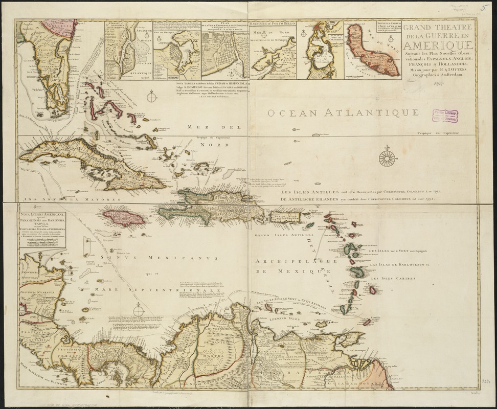
Grand theatre de la guerre en Amerique suivant les plus nouvelles observations des Espagnols, Anglois, François & Hollandois
Item Information
- Title:
- Grand theatre de la guerre en Amerique suivant les plus nouvelles observations des Espagnols, Anglois, François & Hollandois
- Creator:
- R. & J. Ottens
- Name on Item:
-
mis au jour par R. & I. Ottens.
- Date:
-
[1717]
- Format:
-
Maps/Atlases
- Location:
-
Boston Public Library
Norman B. Leventhal Map & Education Center - Collection (local):
-
Norman B. Leventhal Map & Education Center Collection
- Subjects:
-
Spanish Succession, War of, 1701-1714--Maps--Early works to 1800
West Indies--Maps--Early works to 1800
Caribbean Area--Maps--Early works to 1800
- Places:
-
West Indies
Caribbean Sea
- Extent:
- 1 map on 4 sheets : col. ; 83 x 104 cm, sheets 46 x 55 cm.
- Terms of Use:
-
No known copyright restrictions.
No known restrictions on use.
- Publisher:
-
Amsterdam :
R & J. Ottens
- Scale:
-
Scale ca. 1:2,787,840.
- Language:
-
French
- Notes:
-
Relief shown pictorially.
Shows ocean trade routes.
Insets: St. Augustin and its Harbour -- La Havane -- Plan de LaVille Espagnole de S. Donmingue -- Harbourg of Porto Bello --Plan de la Baye de Carthagena -- Nouvelle Carte de l'Isle de Curacao.
Cataloging, conservation, and digitization made possible in part by The National Endowment for the Humanities: Exploring the human endeavor.
- Notes (date):
-
This date is inferred.
- Identifier:
-
06_01_006445
- Call #:
-
G4900 1717 .R56x
- Barcode:
-
39999059025740


