Toggle navigation
LMEC Home
Exhibitions
Georeferencing
Tools for Teachers
Collections
My Favorites
Sign Up / Log In
Search
Search the map portal
Map Collection
Map Collection
Map Sets
Search
Search
Search for
Search In
All Fields
Creator
Title
Subject
Place
Search All Digital Collections
Advanced Search
8357 Results
My Search
Start Over
More Like
commonwealth:3f463689d
Remove constraint More Like: commonwealth:3f463689d
Filter your Search
Place
North and Central America
5,106
United States
3,936
Suffolk (county)
1,216
Boston
1,189
Europe
963
Canada
427
Massachusetts
325
France
269
more
Place
»
Topic
Boston (Mass.)--Maps
740
United States--Maps
270
Real property--Massachusetts--Boston--Maps
222
Landowners--Massachusetts--Boston--Maps
168
Massachusetts--Maps
163
City planning--Massachusetts--Boston--Maps
156
North America--Maps--Early works to 1800
103
New England--Maps
101
more
Topic
»
Date
Date range begin
–
Date range end
Current results range from
1482
to
2023
View distribution
Creator
United States. Hydrographic Office
357
Boston Redevelopment Authority
161
O.H. Bailey & Co
148
Des Barres, Joseph F. W. (Joseph Frederick Wallet), 1722-1824
124
United States. Post Office Dept
120
Ptolemy, 2nd cent
100
Walling, Henry Francis, 1825-1888
94
Bromley, George Washington
86
more
Creator
»
Format
Maps/Atlases
8,298
Manuscripts
215
Prints
51
Books
36
Objects/Artifacts
10
Drawings/Illustrations
8
Posters
4
Georeferenced
Yes
885
No
7,472
Collection
Norman B. Leventhal Map Center Collection
8,191
Boston and New England Maps
2,310
Urban Maps
2,045
Maritime Charts and Atlases
750
American Revolutionary War-Era Maps
638
Boston Redevelopment Authority Collection
192
Massachusetts Real Estate Atlases
38
Mapping Boston Collection
20
more
Collection
»
Available to use
No known restrictions
8,135
Creative Commons license
69
Search Constraints
Sort by date (desc)
relevance
title
date (asc)
date (desc)
Number of results to display per page
100 per page
10
per page
20
per page
50
per page
100
per page
View results as:
grid view
map view
Search Results
301.
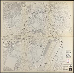
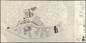
Central business district urban renewal area, Massachusetts r-82 : illustrative site plan
302.
Atlas of the town of Wayland
303.
Inner belt, Southwest Expressway
304.
Massachusetts Bay Transportation Authority
305.
Yuenan renmin kang mei jiu guo xing shi tu
306.
Boston personal income ; Boston personal income [and] residential population density
307.
Campus High School urban renewal area Mass. r- : locality map blighted areas
308.
Campus High School urban renewal area Mass. r- : locality map important features
309.
Central business district urban renewal area Massachusetts r-82 : pedestrian circulation
310.
Central business district urban renewal area Massachusetts r-82 : vehicular circulation
311.
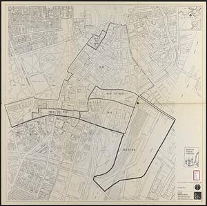
Central business district urban renewal area Massachusetts r-82 : disposition parcels
312.
Central business district urban renewal area Massachusetts r-82 : acquisition plan
313.
Central business district urban renewal area Massachusetts r-82 : street adjustments
314.
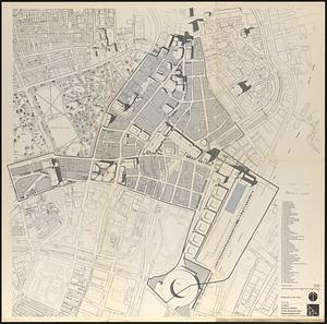
Central business district urban renewal area Massachusetts r-82 : zoning plan
315.
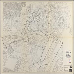
Central business district urban renewal area Massachusetts r-82 : illustrative site plan
316.
Massachusetts Bay Transportation Authority system route map
317.
Panorama from the Pinnacle ("Acorn Hill," 1371'), Lyme, N.H.
318.
Report on the alternate master highway plan for the Boston metropolitan area
319.
The Scrimshaw historical map of Cape Cod
320.
South Station development study : access plan
321.
South Station development study : site location and functional areas
322.
South Station development study : parcel plan
323.
South Station development study : estimated track retirement
324.
Central business district urban renewal area r-82 : parcel acquisition map
325.
Central business district urban renewal area r-82 : existing land use
326.
Central business district urban renewal area r-82 : building deficiencies
327.
Downtown waterfront-Faneuil Hall urban area Massachusetts R-77 : proposed land use
328.
Downtown waterfront-Faneuil Hall urban renewal area Massachusetts R-77 : proposed land use
329.
Downtown project no. Mass. r-46 : existing and proposed community facilities
330.
Downtown project no. Mass. r-46 : proposed circulation and boundary adjustments
331.
1975 general land use plan
332.
Boston proper
333.
Downtown project no. Mass. r-46 : existing land use
334.
Massachusetts Bay Transportation Authority system route map
335.
South Cove : property status and unit ownership
336.
Disposition parcel plan, central area
337.
Downtown waterfront-Faneuil Hall urban renewal area Massachusetts R-77 : property
338.
NASA Electronic Research Center : evaluation of proposed sites in Boston
339.
Downtown waterfront-Faneuil Hall project urban renewal area Massachusetts R-77 : existing and proposed zoning
340.
Downtown waterfront-Faneuil Hall urban renewal area Massachusetts R-77 : property
341.
Downtown waterfront-Faneuil Hall urban renewal area Massachusetts R-77 : proposed land use
342.
Downtown waterfront-Faneuil Hall urban renewal area Massachusetts R-77 : street adjustments
343.
Historic Massachusetts : a travel map to help you feel at home in the Bay State
344.
Metropolitan Transit Authority system route map
345.
Map of Ho-De-No-Sau-Nee-Ga or the people of the long house : compiled 1851 by Lewis H. Morgan & Ely S. Parker a Seneca sachem...
346.
A map of the state of Maine
347.
Sketches of a building to be constructed in City Hall Plaza north of Boston City Hall
348.
South Cove project no Mass r- : locality map 2
349.
South Cove project no Mass r- : locality map 1
350.
Mattapan project : property map
351.
Zoning districts - city of Boston - map 1 - Boston proper
352.
Downtown Waterfront-Faneuil Hall renewal area : existing land use
353.
Downtown Waterfront-Faneuil Hall renewal area : building conditions
354.
Central business district project no Mass r- : existing land use
355.
Central business district project no Mass r- : existing building condition
356.
Central business district project no Mass r- : locality map 2
357.
Central business district project no Mass r- : locality map 1
358.
City of Boston : topographic and planimetric survey
359.
Downtown existing buildings conditions
360.
Downtown Waterfront Faneuil Hall renewal area : locality map 1
361.
Downtown Waterfront-Faneuil Hall renewal area : locality map 2
362.
Locality map
363.
Route chart showing routes to and from northwestern Europe
364.
Zoning districts, city of Boston
365.
North Harvard project area : locality map
366.
Dominican Republic road map 1:250,000
367.
Historic Massachusetts : a travel map to help you feel at home in the Bay State
368.
Metropolitan Transit Authority system route map
369.
Charlestown renewal area : location map
370.
South End renewal area : location map
371.
South End renewal area : blighted areas
372.
Charlestown renewal area : blighted areas
373.
City of Boston topographic and planimetric survey : [Downtown and North End]
374.
Civil War centennial
375.
Navajoland, U.S.A.
376.
Daily weather map : Tuesday, September 29, 1959
377.
Metropolitan Transit Authority system route map
378.
A nation of immigrants
379.
Panoramic view of Boston showing golden semicircle
380.
Ward boundaries 1959
381.
Wards & precincts, city of Boston - 1890
382.
Cape Cod and the islands
383.
March 17-21 ; March 22-26
384.
The United States, the land and the people = Les états-Unis, le pays et ses habitants = De Verenigde Staten, het land en het volk
385.
Oil in America : a pictorial story of the petroleum industry in the United States
386.
Sportsmen's fishing map of the United States and neighboring waters
387.
Atlas of town of Weymouth Massachusetts
388.
Dublin
389.
Makers of the U.S.A. : a friendship map
390.
Metropolitan Transit Authority system route map
391.
A two-way street between the Americas
392.
Metropolitan Transit Authority system route map
393.
Town of Belmont Massachusetts
394.
The town of Dedham, Massachusetts : a pictorial map
395.
United States, including territories and insular possessions : showing the extent of public surveys, national parks, national...
396.
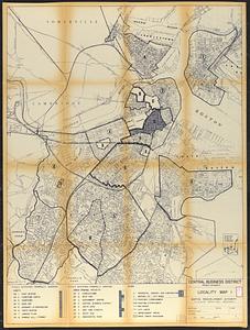
Ward lines and voting precincts 1954
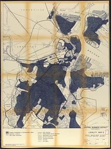
397.
Pashtunistan
398.
Map of the Boston Metropolitan District showing park reservations and holdings of the Metropolitan District Commission and...
399.
Maps with a moral
400.
Metropolitan Transit Authority system route map
‹ Prev
Next ›
1
2
3
4
5
6
7
8
…
83
84


![Boston personal income ; Boston personal income [and] residential population density](https://bpldcassets.blob.core.windows.net/derivatives/images/commonwealth:fn107c409/image_thumbnail_300.jpg)