South Station development study : access plan
Item Information
- Title:
- South Station development study : access plan
- Cartographer:
- Boston Redevelopment Authority
- Name on Item:
-
Boston Redevelopment Authority
- Date:
-
July 1965
- Format:
-
Maps/Atlases
- Location:
-
Boston Public Library
Central Library in Copley Square - Collection (local):
-
Boston Public Library Collection
- Subjects:
-
Boston (Mass.)--Maps
City planning--Massachusetts--Boston--Maps
Roads--Interchanges and intersections--Massachusetts--Boston--Maps
South Station (Boston, Mass.)--Maps
Urban renewal--Massachusetts--Boston--Maps
- Places:
-
Suffolk (county)Boston
South Boston Station (historical)
- Extent:
- 1 map ; 91 x 102 cm
- Terms of Use:
-
No known copyright restrictions.
No known restrictions on use.
- Publisher:
-
[Boston] :
Boston Redevelopment Authority
- Language:
-
English
- Catalog Record:
-
Accompanying text
- Notes:
-
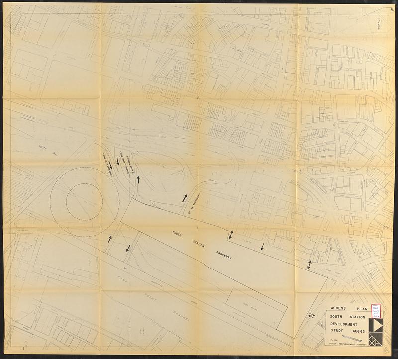
Part of a collection of materials intended to provide prospective developers with information about the project involving South Station in downtown Boston.
Shows access from SE expressway, Mass Turnpike and surrounding streets.
Oriented with north to the right.
- Identifier:
-
06_01_017319c
- Call #:
-
BRA/3050 map 3
- Barcode:
-
39999065832691


