Toggle navigation
LMEC Home
Exhibitions
Georeferencing
Tools for Teachers
Collections
My Favorites
Sign Up / Log In
Search
Search the map portal
Map Collection
Map Collection
Map Sets
Search
Search
Search for
Search In
All Fields
Creator
Title
Subject
Place
Search All Digital Collections
Advanced Search
13385 Results
Filter your Search
Place
North and Central America
9,353
United States
7,286
Suffolk (county)
1,664
Boston
1,621
Europe
1,035
Canada
949
Massachusetts
806
New York
534
more
Place
»
Topic
Boston (Mass.)--Maps
741
City planning--Massachusetts--Boston--Maps
418
United States--History--Revolution, 1775-1783--Maps
329
United States--Maps
315
Urban renewal--Massachusetts--Boston--Maps
254
Real property--Massachusetts--Boston--Maps
252
Massachusetts--Maps
219
Insurance surveys
197
more
Topic
»
Date
Date range begin
–
Date range end
Current results range from
1482
to
2023
View distribution
Creator
United States. Hydrographic Office
595
Boston Redevelopment Authority
403
Des Barres, Joseph F. W. (Joseph Frederick Wallet), 1722-1824
247
Royal United Services Institute for Defence and Security Studies
160
Jefferys, Thomas, -1771
154
George, III, King of Great Britain, 1738-1820
152
George, IV, King of Great Britain, 1762-1830
151
O.H. Bailey & Co
148
more
Creator
»
Format
Maps/Atlases
13,205
Manuscripts
985
Prints
102
Books
49
Drawings/Illustrations
44
Photographs
15
Objects/Artifacts
13
Documents
7
more
Format
»
Georeferenced
Yes
979
No
12,406
Collection
Norman B. Leventhal Map Center Collection
8,891
American Revolutionary War-Era Maps
3,305
Boston and New England Maps
2,804
Urban Maps
2,397
Maritime Charts and Atlases
1,150
William L. Clements Library Collection
910
Library of Congress Collection
618
Boston Redevelopment Authority Collection
475
more
Collection
»
Available to use
No known restrictions
9,952
Creative Commons license
1,677
Search Constraints
Sort by date (desc)
relevance
title
date (asc)
date (desc)
Number of results to display per page
100 per page
10
per page
20
per page
50
per page
100
per page
View results as:
grid view
map view
Search Results
401.
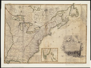
Carte des Etats-Unis de l'Amerique suivant le Traité de Paix de 1783 : dédiée et présentée a S. Excellence Mr. Benjamin...
402.
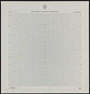
Equatorial gnomonic projection
403.
Italy
404.
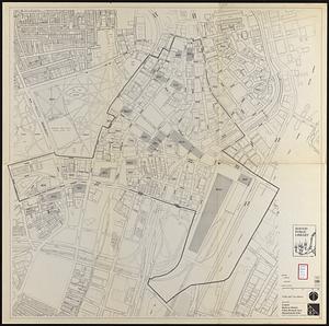
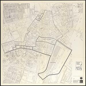
Library districts [in Boston]
405.
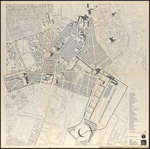
Off-street parking inventory within Boston proper
406.
McConnell Park
407.
Campus High School urban renewal area Mass. r-129 : proposed land-use
408.
Campus High School urban renewal area Mass. r-129 : property map
409.
Campus High School urban renewal area Mass. r-129 : disposition parcels
410.
Campus High School urban renewal area Mass. r-129 : existing and proposed zoning
411.
Downtown waterfront-Faneuil Hall project urban renewal area Massachusetts R-77 : existing and proposed zoning
412.
Downtown waterfront-Faneuil Hall urban area Massachusetts R-77 : existing and proposed zoning
413.
Arnold Print Works, Inc., Adams, Mass. [insurance map]
414.
Atlas of the town of Brookline 1972
415.
Baton Rouge
416.
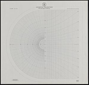
Gnomonic projection : polar-equatorial
417.
Major thoroughfare system, city of Boston, June 1972
418.
Morrisville, Bucks County, Pennsylvania, 1893
419.
Relationship between selected recreation sites and public transportation facilities Boston metropolitan area 1971
420.
McConnell Park Dorchester : site plan
421.
Park Plaza urban renewal area : map no. 4 building deficiencies map
422.
Park Plaza urban renewal area : map no. 5 ownership data map
423.
Park Plaza urban renewal area : map no. 2 land use map (existing)
424.
Park Plaza urban renewal area : map no. 1 boundary map
425.
Campus High School urban renewal area Massachusetts R-129 : illustrative site plan
426.
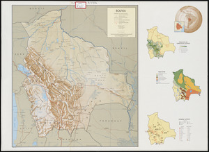
Bolivia
427.
Campus High School urban renewal area Mass. r-129 : property map
428.
Developer's kit : South Cove urban renewal area, project no. Mass. r-92, parcel r-7, residential use
429.
General and zoning map for town of Wakefield Mass.
430.
Index to planning districts
431.
Kingston-Port-au-Prince
432.
Massachusetts water resources study
433.
Public open space city of Boston
434.
States of Massachusetts, Rhode Island and Connecticut : base map with highways and contours
435.
Aitoff's equal area projection of the sphere
436.
Boston bikemap : toward intelligent commuting
437.
Boylston Street improvements
438.
Campus High School urban renewal area Mass. r-129 : existing land-use
439.
Illustration of the south side of Boylston Street between Clarendon and Berkeley Streets
440.
Illustrative site plan : Washington Park urban renewal area, Massachusetts R-24
441.
Outline map of towns on the Massachusetts coast
442.
Pictomap
443.
Plans of structures next to the end towers of Longfellow Bridge
444.
Twenty years of change on the Massachusetts coastline : maps and statistics, 1951-1971
445.
Washington Street corridor : South Cove to Forest Hills
446.
Southwest corridor restudy
447.
Atlas of the town of Brookline 1969
448.
Boston development program
449.
Illustrative site plan : South End urban renewal area, Massachusetts r-56
450.
Indian tribal occupation areas and historic sites 1500-1600 in the northeastern United States and Canadian Maritimes
451.
The regional open space system : [Boston, Massachusetts metropolitan area]
452.
South End urban renewal area R-56 : proposed rights-of-way
453.
Waterfront land inventory South Boston : CRP port study
454.
West Canton Community Park
455.
Mother Brook recreation study
456.
Central business district urban renewal area Massachusetts r-82 A,B,C : disposition parcels
457.
Central business district urban renewal area Massachusetts r-82 A,B,C : proposed land use
458.
Central business district urban renewal area Massachusetts r-82 A,B,C : zoning
459.
Fenway urban renewal area, Massachusetts R-115 : illustrative site plan
460.
Central business district urban renewal area R-82 : sub area boundaries
461.
Charlestown urban renewal project Boston (Suffolk County) Massachusetts Mass. R-55 : topographic map
462.
Illustrative site plan : Government Center urban renewal area, Massachusetts R-35
463.
Off-street parking inventory for the Boston regional core
464.
One way streets, metered block faces, parking restriction areas and signal locations within the Boston regional core
465.
Report on improvements to the Boston main drainage system
466.
Back Bay study landscape plan
467.
The Harbor Park system
468.
Back Bay study
469.
Central business district urban renewal area, Massachusetts r-82 : illustrative site plan
470.
Central business district urban renewal area Massachusetts r-82 : disposition parcels
471.
Central business district urban renewal area Massachusetts r-82 : illustrative site plan
472.
Central business district urban renewal area Massachusetts r-82 : zoning
473.
Central business district urban renewal area Massachusetts r-82 : proposed land use
474.
Central business district urban renewal area Massachusetts r-82 : property map
475.
Proposed land use plan and circulation system
476.
Recommended geometrics plan : Back Bay study area
477.
Central business district urban renewal area, Massachusetts r-82 : illustrative site plan
478.
Atlas of the town of Wayland
479.
Charlestown urban renewal area Massachusetts R-55 : illustrative site plan
480.
Indian Head Inc., a Delaware Corporation, tenanted, Adams, Mass. [insurance map]
481.
Inner belt, Southwest Expressway
482.
Massachusetts Bay Transportation Authority
483.
Yuenan renmin kang mei jiu guo xing shi tu
484.
Blue Hill Avenue commercial strip
485.
Campus High School urban renewal area, Mass. r- : land disposition map
486.
Campus High School urban renewal area Mass. r- : existing land use
487.
Campus High School urban renewal area Mass. r- : building conditions
488.
Disposition parcels, Charlestown urban renewal area, Massachusetts R-55
489.
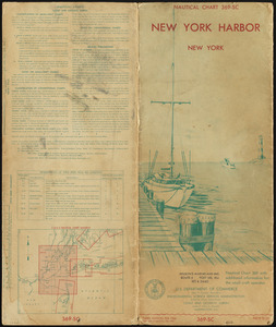
New York Harbor
490.
Boston personal income ; Boston personal income [and] residential population density
491.
Campus High School urban renewal area Mass. r- : locality map blighted areas
492.
Campus High School urban renewal area Mass. r- : locality map important features
493.
Central business district urban renewal area Massachusetts r-82 : pedestrian circulation
494.
Central business district urban renewal area Massachusetts r-82 : vehicular circulation
495.
Central business district urban renewal area Massachusetts r-82 : disposition parcels
496.
Central business district urban renewal area Massachusetts r-82 : acquisition plan
497.
Central business district urban renewal area Massachusetts r-82 : street adjustments
498.
Central business district urban renewal area Massachusetts r-82 : zoning plan
499.
Central business district urban renewal area Massachusetts r-82 : illustrative site plan
500.
Map of Boston naval shipyard, Boston, Mass. showing conditions on Jan. 1, 1966
‹ Prev
Next ›
1
2
3
4
5
6
7
8
9
…
133
134

![Library districts [in Boston]](https://bpldcassets.blob.core.windows.net/derivatives/images/commonwealth:3f465b625/image_thumbnail_300.jpg)


![Arnold Print Works, Inc., Adams, Mass. [insurance map]](https://bpldcassets.blob.core.windows.net/derivatives/images/commonwealth:ww72c140r/image_thumbnail_300.jpg)


![Indian Head Inc., a Delaware Corporation, tenanted, Adams, Mass. [insurance map]](https://bpldcassets.blob.core.windows.net/derivatives/images/commonwealth:ww72c138q/image_thumbnail_300.jpg)


![Boston personal income ; Boston personal income [and] residential population density](https://bpldcassets.blob.core.windows.net/derivatives/images/commonwealth:fn107c409/image_thumbnail_300.jpg)