Mother Brook recreation study
Viewing image 1 of 2
Carousel content with 0 slides.
A carousel is a rotating set of images, rotation stops on keyboard focus on carousel tab controls or hovering the mouse pointer over images. Use the tabs or the previous and next buttons to change the displayed slide.

Item Information
- Title:
- Mother Brook recreation study
- Description:
-
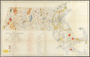
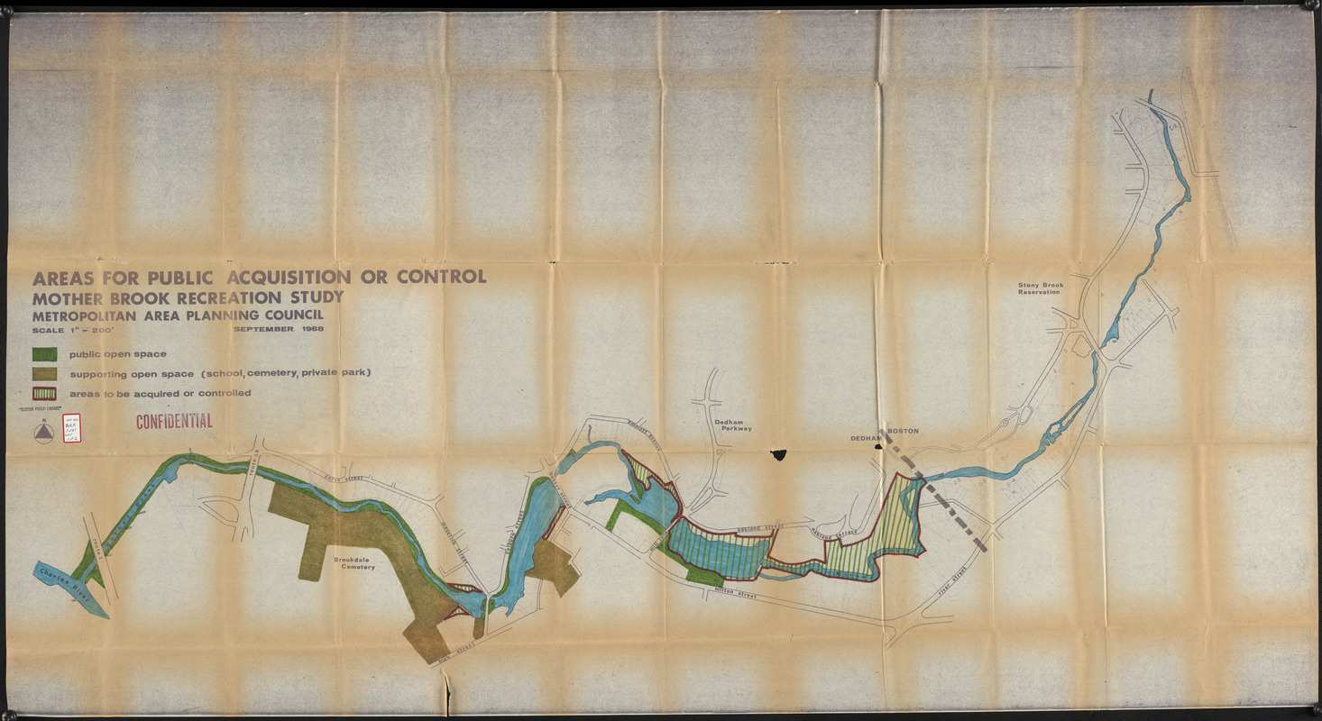
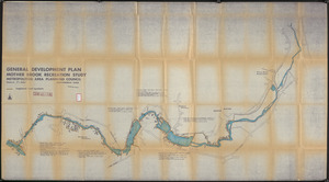
Accompanies a study recommending the acquisition of land along Mother Brook for public open space and outdoor recreational use as well as for flood and pollution control purposes. The item is marked "confidential".
- Cartographer:
- Massachusetts. Metropolitan Area Planning Council
- Contributor:
- Massachusetts. Metropolitan District Commission
- Name on Item:
-
Metropolitan Area Planning Council
- Date:
-
September 1968
- Format:
-
Maps/Atlases
- Location:
-
Boston Public Library
Central Library in Copley Square - Collection (local):
-
Boston Public Library Collection
- Subjects:
-
Open spaces--Massachusetts--Maps
Mother Brook (Norfolk County and Suffolk County, Mass.)--Maps
Environmental engineering--Massachusetts--Maps
- Places:
-
Mother Brook (canal)
- Extent:
- 2 maps : color ; 92 x 166 cm
- Terms of Use:
-
No known copyright restrictions.
No known restrictions on use.
- Publisher:
-
[Boston] :
Metropolitan District Commission
- Scale:
-
Scale 1:2,400
- Language:
-
English
- Table of Contents:
-
Areas for public acquisition or control
General development plan
- Catalog Record:
-
http://bpl.bibliocommons.com/item/show/1011707075
- Identifier:
-
06_01_017245
06_01_017246
- Call #:
-
BRA/3241 MAPS
- Barcode:
-
mq6308420