Map of existing and proposed open spaces in Massachusetts
Item Information
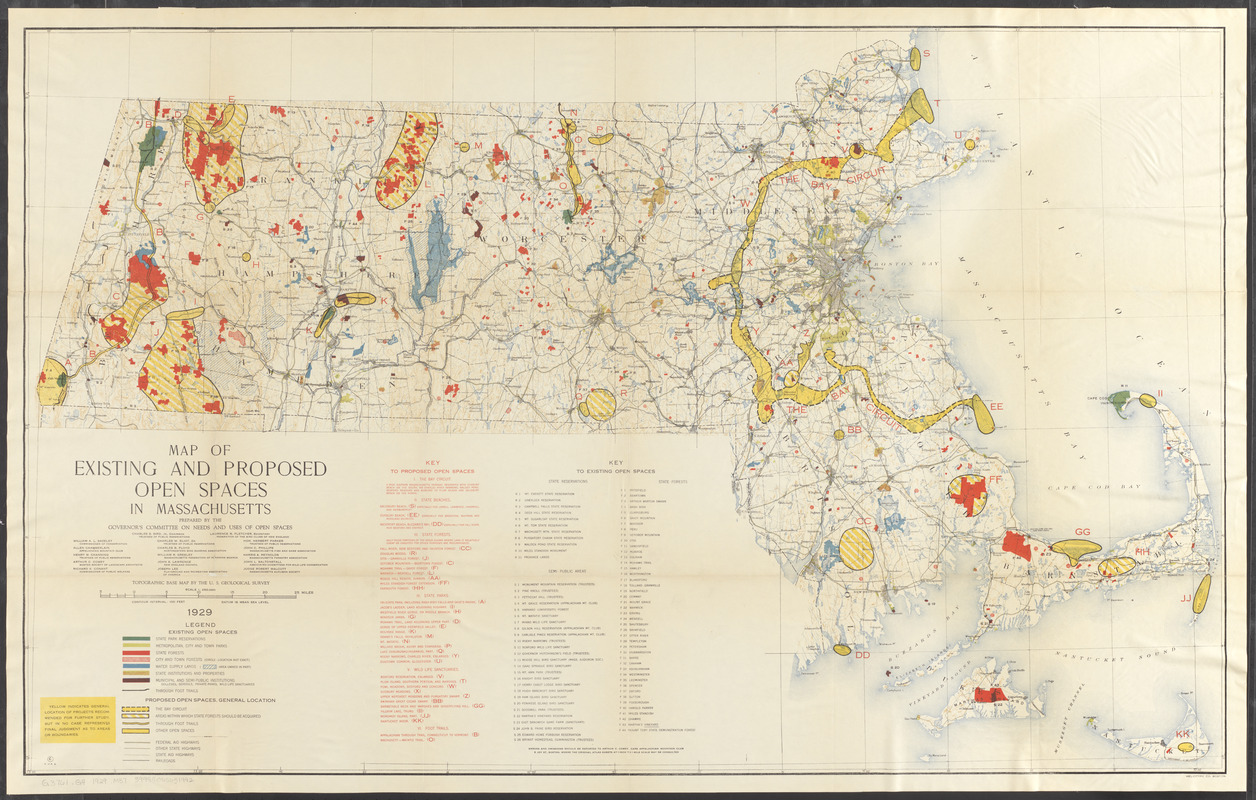
- Title:
- Map of existing and proposed open spaces in Massachusetts
- Cartographer:
- Massachusetts. Governor's Committee on Needs and Uses of Open Spaces
- Printer:
- Heliotype Printing Co.
- Name on Item:
-
prepared by the Governor's Committee on Needs and Uses of Open Spaces
- Date:
-
1929
- Format:
-
Maps/Atlases
- Location:
-
Boston Public Library
Norman B. Leventhal Map & Education Center - Collection (local):
-
Norman B. Leventhal Map & Education Center Collection
- Subjects:
-
Open spaces--Massachusetts--Maps
- Places:
-
Massachusetts
- Extent:
- 1 map : col. ; 75 x 121 cm.
- Terms of Use:
-
No known copyright restrictions.
No known restrictions on use.
- Publisher:
-
[Boston, Mass.?] :
The Committee
- Scale:
-
Scale 1:250,000
- Language:
-
English
- Notes:
-
Relief shown by contours and spot heights.
Also shows highways and railroads.
Includes indexes to proposed and existing open spaces.
"Topographic base map by the U.S. Geological Survey."
"Datum is mean sea level."
"Heliotype Co., Boston."
- Identifier:
-
06_01_016856
- Call #:
-
G3761.G4 1929 .M37
- Barcode:
-
39999065651992


