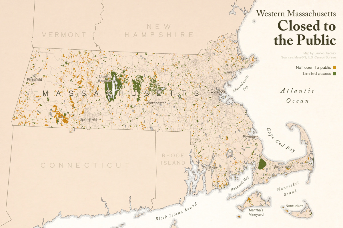
Western Massachusetts closed to the public
Item Information
- Title:
- Western Massachusetts closed to the public
- Cartographer:
- Tierney, Lauren C.
- Copyright holder:
- Boston Public Library. Norman B. Leventhal Map and Education Center
- Name on Item:
-
map by Lauren Tierney
- Date:
-
2020
- Format:
-
Maps/Atlases
- Location:
-
Boston Public Library
Norman B. Leventhal Map & Education Center - Collection (local):
-
Norman B. Leventhal Map & Education Center Collection
- Subjects:
-
Open spaces--Massachusetts--Maps
Massachusetts--Maps
- Places:
-
Massachusetts
- Extent:
- 1 map : color
- Terms of Use:
-
(c) Norman B. Leventhal Map & Education Center at the Boston Public Library
This work is licensed for use under a Creative Commons Attribution License (CC BY).

- Place of origin:
-
[Washington, D.C.]
- Language:
-
English
- Notes:
-
Shows open spaces in Massachusetts that are not open to the public or have limited access.
"Sources: MassGIS, U.S. Census Bureau."
- Notes (exhibitions):
-
Exhibited: "Bending lines: maps and data from distortion to deception," organized by the Norman B. Leventhal Map & Education Center at the Boston Public Library, 2020-2021.
- Identifier:
-
western_ma_closed


