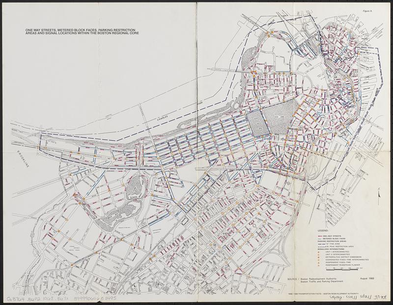
One way streets, metered block faces, parking restriction areas and signal locations within the Boston regional core
Item Information
- Title:
- One way streets, metered block faces, parking restriction areas and signal locations within the Boston regional core
- Cartographer:
- Boston Redevelopment Authority
- Name on Item:
-
Boston Revelopment Authority
- Date:
-
1968
- Format:
-
Maps/Atlases
- Location:
-
Boston Public Library
Norman B. Leventhal Map & Education Center - Collection (local):
-
Norman B. Leventhal Map & Education Center Collection
- Subjects:
-
Boston (Mass.)--Maps
One-way streets--Massachusetts--Boston--Maps
Parking meters--Massachusetts--Boston--Maps
Automobile parking--Massachusetts--Boston--Maps
Traffic signs and signals--Massachusetts--Boston--Maps
- Places:
-
MassachusettsSuffolk (county)Boston
- Extent:
- 1 map : col. ; 44 x 56 cm.
- Terms of Use:
-
No known copyright restrictions.
No known restrictions on use.
- Publisher:
-
Boston :
Boston Redevelopment Authority
- Scale:
-
Scale [ca. 1:10,700]
- Language:
-
English
- Notes:
-
August 1968.
"1968/1969 transportation facts."
- Identifier:
-
06_01_018752
- Call #:
-
G3764.B6P2 1968 .B67x
- Barcode:
-
39999065652495


