Toggle navigation
LMEC Home
Exhibitions
Georeferencing
Tools for Teachers
Collections
My Favorites
Sign Up / Log In
Search
Search the map portal
Map Collection
Map Collection
Map Sets
Search
Search
Search for
Search In
All Fields
Creator
Title
Subject
Place
Search All Digital Collections
Advanced Search
13694 Results
Filter your Search
Place
North and Central America
10,357
United States
8,484
Massachusetts
2,796
Suffolk (county)
1,678
Boston
1,634
Europe
1,419
Canada
950
New York
650
more
Place
»
Topic
Boston (Mass.)--Maps
748
City planning--Massachusetts--Boston--Maps
418
United States--History--Revolution, 1775-1783--Maps
329
United States--Maps
322
Real property--Massachusetts--Boston--Maps
254
Urban renewal--Massachusetts--Boston--Maps
254
Massachusetts--Maps
233
Insurance surveys
197
more
Topic
»
Date
Date range begin
–
Date range end
Current results range from
1482
to
2023
View distribution
Creator
United States. Hydrographic Office
597
Boston Redevelopment Authority
404
Des Barres, Joseph F. W. (Joseph Frederick Wallet), 1722-1824
247
Royal United Services Institute for Defence and Security Studies
160
Jefferys, Thomas, -1771
154
George, III, King of Great Britain, 1738-1820
152
George, IV, King of Great Britain, 1762-1830
151
O.H. Bailey & Co
148
more
Creator
»
Format
Maps/Atlases
13,513
Manuscripts
985
Prints
102
Books
49
Drawings/Illustrations
44
Photographs
15
Objects/Artifacts
13
Documents
7
more
Format
»
Georeferenced
Yes
979
No
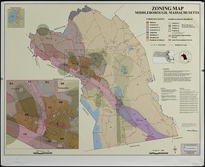
12,715
Collection
Norman B. Leventhal Map & Education Center Collection
9,108
American Revolutionary War-Era Maps
3,305
Boston and New England Maps
2,921
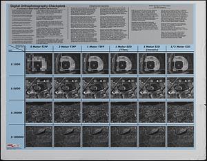
Urban Maps
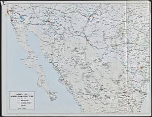
2,480
Maritime Charts and Atlases
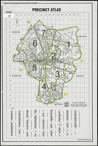
1,169
William L. Clements Library Collection
910
Library of Congress Collection
618
Boston Redevelopment Authority Collection
475
more
Collection
»
Available to use
No known restrictions
10,260
Creative Commons license
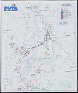
1,678
Search Constraints
Sort by date (desc)
relevance
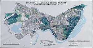
title
date (asc)
date (desc)
Number of results to display per page
50 per page
10
per page
20
per page
50
per page
100
per page
View results as:
grid view
map view
Search Results
101.
The world turned upside down
102.
Asia
103.
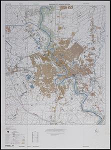
Baghdad city graphic special
104.
Iraq
105.
Sanding routes map : town of Dedham, Norfolk County, Massachusetts
106.
Commonwealth of Massachusetts U.S. congressional districts
107.
City of Waltham, Massachusetts [assessors atlas]
108.
Iraq country profile
109.
Massachusetts official transportation map
110.
Town of Southbridge, Massachusetts : street map index
111.
The world's most populous countries
112.
Zoning map : town of Dedham, Norfolk County, Massachusetts
113.
Metacomet-Monadnock Trail : an analysis of landuse
114.
Orthophoto of a part of Greenwich, Connecticut
115.
Town of Amherst, Massachusetts build out analysis - future growth study : protected lands, developable lands & new development...
116.
What's up? South! : world map
117.
China
118.
China
119.
Middleborough, Massachusetts, zoning map
120.
Physical map of the world, April 2001
121.
Political map of the world, April 2001
122.
Area plan as of May 1962
123.
The Boston Public Libraries
124.
[Buildout analysis] New Bedford, Massachusetts
125.
Census tract outline maps : Wakefield, MA : (Census 2000)
126.
City of Boston open space
127.
Digital orthography checkplots : a comparison of digital imagery resolution and file format
128.
Mexico - US border infrastructure
129.
Orthophoto quads index
130.
Precinct atlas, Town of Wakefield
131.
The public libraries of Massachusetts
132.
Sudan
133.
Boston shoreline 1630
134.
Boston shoreline 1795
135.
Boston shoreline 1852
136.
Boston shoreline 1880
137.
Boston shoreline 1916
138.
Boston shoreline 1934
139.
Boston shoreline 1950
140.
Boston shoreline 1995
141.
Boston shoreline composite
142.
City of Boston planimetric survey sheet no. 23I
143.
Developable lands and partial constraints : town of Taunton
144.
PVTA bus map & guide
145.
Town of Plymouth [land development planning]
146.
Town of Plymouth [land development planning]
147.
Town of Taunton [land development planning]
148.
Maximum allowable zoning heights : contrast of zoning heights
149.
Stoneham drain lines checkplot map sheet 3
150.
Stoneham sewer lines checkplot map sheet 1
‹ Prev
Next ›
1
2
3
4
5
6
7
…
273
274


![City of Waltham, Massachusetts [assessors atlas]](https://bpldcassets.blob.core.windows.net/derivatives/images/commonwealth:cj82r8418/image_thumbnail_300.jpg)


![[Buildout analysis] New Bedford, Massachusetts](https://bpldcassets.blob.core.windows.net/derivatives/images/commonwealth:v405z947d/image_thumbnail_300.jpg)


![Town of Plymouth [land development planning]](https://bpldcassets.blob.core.windows.net/derivatives/images/commonwealth:tt44v120f/image_thumbnail_300.jpg)
![Town of Plymouth [land development planning]](https://bpldcassets.blob.core.windows.net/derivatives/images/commonwealth:wh24cv585/image_thumbnail_300.jpg)
![Town of Taunton [land development planning]](https://bpldcassets.blob.core.windows.net/derivatives/images/commonwealth:2b88wd603/image_thumbnail_300.jpg)