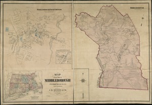
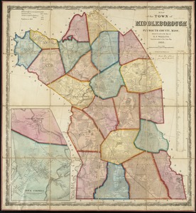
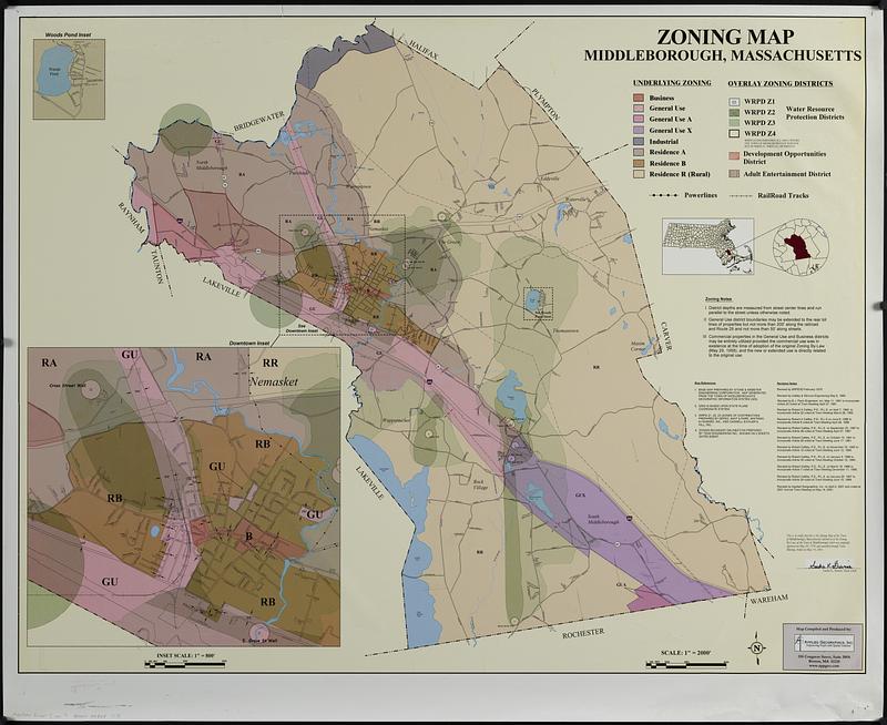
Middleborough, Massachusetts, zoning map
Item Information
- Title:
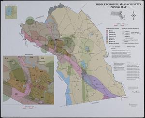
- Middleborough, Massachusetts, zoning map
- Cartographer:
- Applied Geographics, Inc.
- Name on Item:
-
Applied Geographics, Inc.
- Date:
-
2001
- Format:
-
Maps/Atlases
- Location:
-
Boston Public Library
Norman B. Leventhal Map & Education Center - Collection (local):
-
Applied Geographics, Inc. Records
- Subjects:
-
Middleborough (Mass. : Town)--Maps
Zoning--Massachusetts--Middleborough (Town)--Maps
Electric lines--Massachusetts--Middleborough (Town)--Maps
Railroads--Massachusetts--Middleborough (Town)--Maps
- Places:
-
MassachusettsPlymouth (county)Middleboro
- Extent:
- 1 map : color ; 84 x 108 cm
- Terms of Use:
-
No known copyright restrictions.
No known restrictions on use.
- Publisher:
-
[Boston] :
Applied Geographics, Inc.
- Scale:
-
Scale approximately 1:24,000
- Language:
-
English
- Notes:
-
Also shows power lines and railroad tracks.
Insets: Woods Pond -- Downtown
Includes notes and location map.
"Revised by Applied Geographics, Inc. on April 2, 2001 and voted at 2001 annual town meeting on May 14, 2001."
- Identifier:
-
06_01_019003
- Call #:
-
AppGeo Folder 7 no. 9-10
- Barcode:
-
30000008057178