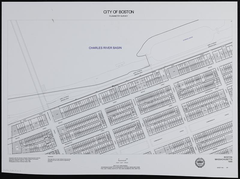
City of Boston planimetric survey sheet no. 23I
Item Information
- Title:
- City of Boston planimetric survey sheet no. 23I
- Cartographer:
- Chas. H. Sells, Inc.
- Contributor:
- Boston Redevelopment Authority
- Name on Item:
-
prepared under the direction of the Boston Redevelopment Authority ; planimetric basemap by Boston Water & Sewer Commission ; mapped by Charles H. Sells, Co.
- Date:
-
1999
- Format:
-
Maps/Atlases
- Location:
-
Boston Public Library
Norman B. Leventhal Map & Education Center - Collection (local):
-
Applied Geographics, Inc. Records
- Subjects:
-
Back Bay (Boston, Mass.)--Maps
Real property--Massachusetts--Boston--Maps
Buildings--Massachusetts--Boston--Maps
- Places:
-
MassachusettsSuffolk (county)BostonBack Bay
- Extent:
- 1 map ; 47 x 78 cm
- Terms of Use:
-
No known copyright restrictions.
No known restrictions on use.
- Publisher:
-
Boston :
Boston Redevelopment Authority
- Language:
-
English
- Notes:
-
Shows parcels and building footprints in a part of Boston's Back Bay.
- Identifier:
-
06_01_019014
- Call #:
-
AppGeo Folder 8 no. 3


