Toggle navigation
LMEC Home
Exhibitions
Georeferencing
Tools for Teachers
Collections
My Favorites
Sign Up / Log In
Search
Search the map portal
Map Collection
Map Collection
Map Sets
Search
Search
Search for
Search In
All Fields
Creator
Title
Subject
Place
Search All Digital Collections
Advanced Search
945 Results
My Search
Start Over
More Like
commonwealth-oai:rf563652h
Remove constraint More Like: commonwealth-oai:rf563652h
Filter your Search
Place
North and Central America
905
United States
637
Canada
215
New York
193
Quebec
113
Saint Lawrence River
64
Pennsylvania
60
New Jersey
54
more
Place
»
Topic
United States--History--Revolution, 1775-1783--Maps
305
United States--History--French and Indian War, 1754-1763--Maps
161
Saint Lawrence River--Maps
65
Newport (R.I.)--Maps
27
New York (State)--Maps
25
Québec (Québec)--Maps
24
Hudson River (N.Y. and N.J.)--Maps
21
Louisbourg (N.S.)--Maps
20
more
Topic
»
Date
Date range begin
–
Date range end
Current results range from
1700
to
1900
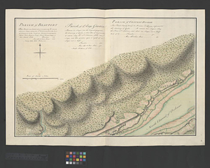
View distribution
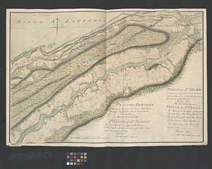
Creator
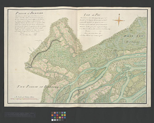
Montrésor, John, 1736-1799
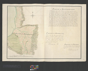
29
Rocque, Mary Ann
29
Bellin, Jacques Nicolas, 1703-1772
28
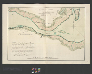
Holland, Samuel, 1728-1801
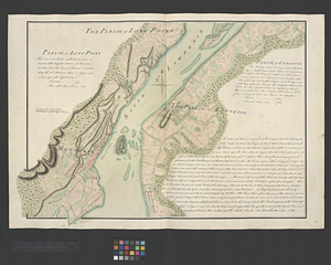
28
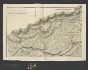
Jefferys, Thomas, -1771
28
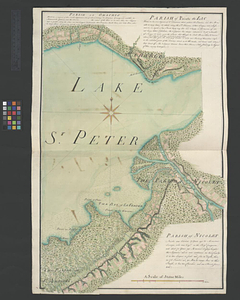
Clinton, Henry, Sir, 1738?-1795
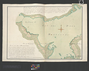
19
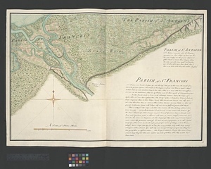
Robert Sayer and John Bennett (Firm)
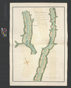
16
Orme, Robert, -1781
14
more
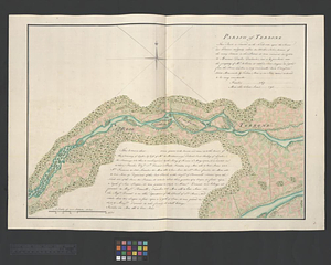
Creator
»
Format
Maps/Atlases
929
Drawings/Illustrations
11
Documents
5
Manuscripts
1
Prints
1
Georeferenced
No
945
Collection
American Revolutionary War-Era Maps
940
William L. Clements Library Collection
909
Library and Archives Canada Collection
14
Norman B. Leventhal Map & Education Center Collection
9
American Antiquarian Society Collection
5
Richard H. Brown Revolutionary War Map Collection at Mount Vernon
4
New York Public Library Collection
3
New-York Historical Society Collection
1
Available to use
No known restrictions
10
Creative Commons license
7
Search Constraints
Sort by relevance
relevance
title
date (asc)
date (desc)
Number of results to display per page
100 per page
10
per page
20
per page
50
per page
100
per page
View results as:
grid view
map view
Search Results
1.
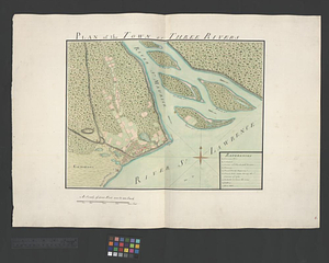
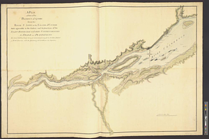
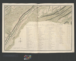
Town of Three Rivers
2.
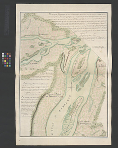
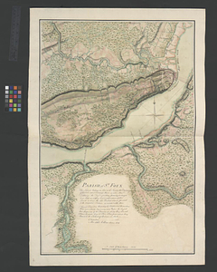
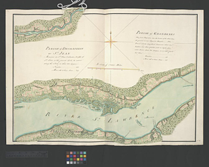
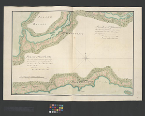
Parish of St. Foix
3.
Plan of that part of Canada and the River St. Lawrence which lies between Point du Lac and Repentigny on the north shore &...
4.
Plan of the town of Three Rivers
5.
A plan of part of the province of Quebec from the river St. Anne to the island of Coudre made agreeable to the orders and...
6.
A plan of the settled part of Canada reduced from the large survey made in the years 1760 & 1761 by order of General Murray...
7.
Continuation of the River Chaudière &c.
8.
Continuation of the River Chaudière from where it falls into the St. Lawrence, as laid down in the lower plan, to the village...
9.
Continuation of the River Chaudière joining to A
10.
Continuation of the River Chaudière joining to B
11.
A draught of a route from Québec to Fort Halifax on the River Kennebec and back again to Québec by the rivers Chaudière and...
12.
Lake Megantic and the Chaudière River : Québec July 25th, 1761
13.
Moosehead Lake and the immediate area to the west : Québec July 25th, 1761
14.
Continuation of the Grande Riviere with the village of Fariole lying near Cape Torment on the north shore
15.
Draught of the river St. Lawrence from Lake Ontario to Montreal
16.
Parish of Batiscant. Parish of St. Pierre Becquet. Parish of Champlain. Parish of Gentilly
17.
Parish of Dechaillon or St. Jean. Parish of Grondines
18.
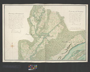
Parish of Dechambeaux. Parish of Cape Sante. Parish of Lotbinière. Parish of St. Croix
19.
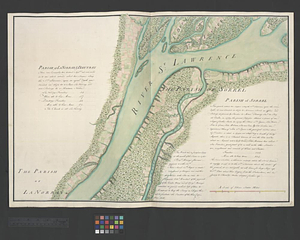
Parish of La Norray & Dautray. Parish of Sorrel
20.
Parish of L'Assomption. Parish of St. Sulpice
21.
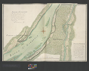
Parish of Lavalterie. Parish of Contrecoeur
22.
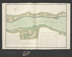
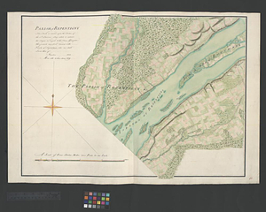
Parish of Magdelaine. Parish of Becancour
23.
Parish of Repentigny
24.
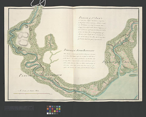
Parish of St. Ann's. Parish of the River Batiscant
25.
Parish of St. Joachim. Parish of St. Famille. Parish of St. Anne. Parish of St. François
26.
Parish of St. Lawrence. Parish of Beaumont. Parish of St. Peter
27.
Parish of St. Michelle. Parish of St. John Baptist. Parish of St. Vertier
28.
Parish of St. Nicholas. The Parish of St. Augustin
29.
Parish of the Ecureuils. Parish of Point aux Trembles. Parish of St. Antoine. Parish of St. Croix
30.
Parish of Vercheres. Parish of St. Antoine
31.
A plan of the river St. Laurence, from Sillery to the fall of Montmerenci, with the operations of the siege of Quebec; under...
32.
Sketch of the seven dangerous rappids with their true channel : also the appearance the river makes at those places between...
33.
The St. Lawrence River from the Rapids of Richelieu to Cape Torment
34.
Carte du gouvernement de Montréal
35.
Channels around the Island of Orleans
36.
Copie de la carte de Monsieur Klam ou l'on voit les sources e la riviere d'Orange suivant de nouvelles observation
37.
Gaspee Bay
38.
Hare Island; Pointe aux Allouettes of Larks Point; English Bank
39.
Manicouagan Shoals; Havre St. Nicholas; Bay of the Seven Islands
40.
Part of the Anticosti Island; Mingan Island; Mignan Harbor
41.
A plan of part of the province of Quebec from the Lake de Deux Montagne to River Batiscant made agreeable to the orders &...
42.
Region of Gaspee Bay
43.
Region of Hare Island
44.
The River St. Lawrence from Mal Bay to the Basin of Quebec
45.
The River St. Lawrence from the Basin of Quebec to the Falls of Richeu
46.
The Seven Islands and the Bay
47.
The Shoals of Beauport; The River St. Lawrence from the Basin of Quebec to the Falls of Richeu
48.
Sketch of the river St. Lawrence from Montreal to the island St. Barnaby on the south side and the islands of Jeremy on the...
49.
Sketch of the river St: Lawrence from Montreal to the island St: Barnaby on the south side, and the islands of Jeremy on the...
50.
St. Paul's Bay; Isle de Coudres; Great Cove; Pt. de Mille Vaches
51.
An accurate map of Canada, with the adjacent countries; exhibiting the late seat of war between the English & French in those...
52.
Attaques des forts de Chouaguen en Amérique pris par les français commandés par le Marquis de Montcalm le 14 Août 1756
53.
Attaques des retranchemens devant le fort Carillon en Amérique par les anglais commandés par le général Abercrombie contre les...
54.
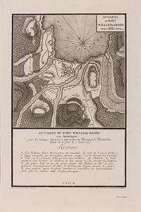
Attaques du fort William-Henri en Amérique par les troupes français aux ordres du Marquis de Montcalm prise de ce fort le 7...
55.
British attack upon Ticonderoga, July 7 & 8, 1758
56.
The Cedres
57.
A correct plan of the environs of Quebec, and of the battle fought on the 13th September, 1759 : together with a particular...
58.
Draught of the River Pittquioyack in the Bay of Fundy 1758
59.
An exact ground plan of Fort Edward at Pesaquid taken from a survey and laid down by a scale of 60 feet to one inch
60.
Fort Bedford
61.
Fort Edward to Ticonderoga
62.
Fort Halifax and the Kennebec River : Québec July 25th, 1761
63.
Fort William Henry
64.
French draught of Lake Champlain & Lake George with remarks of an English prisoner who return'd from Quebec to Fort Edward by...
65.
Gabarus Bay
66.
Ein grund-ris von der Festung Duquesne ...
67.
Hudson's River from New York to Albany
68.
Lake Champlain
69.
Map from Albany to Crown Point
70.
A map of the British and French settlements in North America
71.
Map of the British landings at Louisbourg
72.
A map of the country between Will's Creek & Monongahela River shewing the rout and encampments of the English army, in 1755
73.
A map of the island of Cape Breton
74.
A new and accurate map of the English empire in North America : representing their rightful claim as confirm'd by charters, &...
75.
A new and accurate map of the English empire in North America : representing their rightful claim as confirm'd by charters, and...
76.
A new and accurate map of the present seat of war in North America
77.
A new and accurate map of the present war in North America
78.
Oneida Lake to the Mohawk River
79.
Parish of Beauport. Parish of L'Ange Gardien. Parish of Chateau Richer
80.
Parish of Berthier. Parish of St. François. Parish of St. Thomas
81.
Parish of Bertier. Isle du Pas
82.
Parish of Boucherville. Parish de la Magdelaine. Parish of La Prairie
83.
Parish of Chambly & Ste. Therese
84.
Parish of Charlebourgh
85.
Parish of Chateau Gay
86.
Parish of Iamaska
87.
Parish of La Chine. Parish of the Saut of St. Louis. Cocnawaga or St. Louis Indian Castle
88.
Parish of Long Point. Parish of Longeuil
89.
Parish of Old Lorette
90.
The Parish of Omachis
91.
Parish of Omchis. Parish of Pointe du Lac. Parish of Nicolet
92.
Parish of St. Anne. Lac des Deux Montagnes
93.
Parish of St. Antoine. Parish of St. Francois
94.
Parish of St. Charles
95.
Parish of St. Charles
96.
Parish of St. Genevieve. Parish of Pointe Claire
97.
Parish of St. Joseph [of Masquinonge]. Parish of the River du Loup
98.
Parish of Terbone
99.
Parish of Varrenes. Parish of Pointe aux Trembles. Parish of La Chenais
100.
Part of the Richelieu River showing Fort de St. Ieant
‹ Prev
Next ›
1
2
3
4
5
…
9
10


![Parish of St. Joseph [of Masquinonge]. Parish of the River du Loup](https://bpldcassets.blob.core.windows.net/derivatives/metadata/commonwealth-oai:8336n077h/image_thumbnail_300.jpg)