Toggle navigation
LMEC Home
Exhibitions
Georeferencing
Tools for Teachers
Collections
My Favorites
Sign Up / Log In
Search
Search the map portal
Map Collection
Map Collection
Map Sets
Search
Search
Search for
Search In
All Fields
Creator
Title
Subject
Place
Search All Digital Collections
Advanced Search
979 Results
My Search
Start Over
More Like
commonwealth:z603vg417
Remove constraint More Like: commonwealth:z603vg417
Filter your Search
Place
North and Central America
942
United States
882
Boston
732
Suffolk (county)
732
New England
117
Massachusetts
79
Downtown Boston
35
Canada
29
more
Place
»
Topic
Boston (Mass.)--Maps
740
New England--Maps
120
City planning--Massachusetts--Boston--Maps
103
Real property--Massachusetts--Boston--Maps
98
Landowners--Massachusetts--Boston--Maps
73
Urban renewal--Massachusetts--Boston--Maps
63
Massachusetts--Maps
61
Railroads--New England--Maps
50
more
Topic
»
Date
Date range begin
–
Date range end
Current results range from
1706
to
2023
View distribution
Creator
Boston Redevelopment Authority
114
Geo. H. Walker & Co
27
Boynton, George W., d. 1884
22
Sampson, Davenport & Co
21
Sampson, Murdock & Co
20
Bromley, George Washington
18
Bromley, Walter Scott
17
Lufkin, Richard F. (Richard Friend)
17
more
Creator
»
Format
Maps/Atlases
979
Manuscripts
22
Georeferenced
Yes
121
No
858
Collection
Norman B. Leventhal Map Center Collection
702
Boston and New England Maps
641
Urban Maps
485
American Revolutionary War-Era Maps
158
American Antiquarian Society Collection
138
Boston Redevelopment Authority Collection
120
Mapping Boston Collection
20
William L. Clements Library Collection
13
more
Collection
»
Available to use
No known restrictions
773
Creative Commons license
38
Search Constraints
Sort by relevance
relevance
title
date (asc)
date (desc)
Number of results to display per page
100 per page
10
per page
20
per page
50
per page
100
per page
View results as:
grid view
map view
Search Results
401.
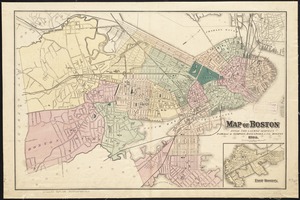
Map of Boston and the country adjacent from actual surveys
402.
Map of Boston and the country adjacent, from actual surveys
403.
Map of Boston and the country adjacent, from actual surveys
404.
Map of Boston and the country adjacent from actual surveys
405.
Map of Boston and the country adjacent, from actual surveys
406.
Map of Boston and the country adjacent, from actual surveys
407.
Map of Boston and the country adjacent from actual surveys
408.
Map of Boston and the country adjacent, from actual surveys
409.
Map of Boston and the country adjacent, showing rural parks
410.
Map of Boston and the country adjacent, showing rural parks
411.
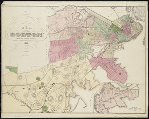
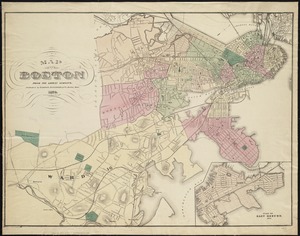
Map of Boston and vicinity : 1898
412.
Map of Boston and vicinity : 1895
413.
Map of Boston and vicinity
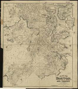
414.
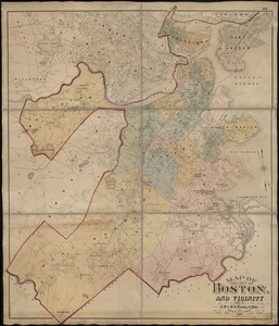
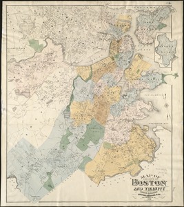
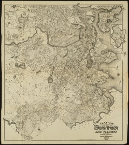
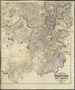
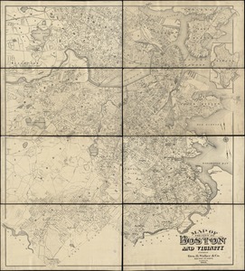
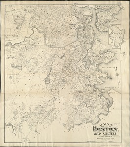
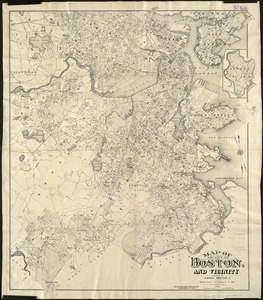
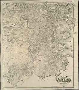
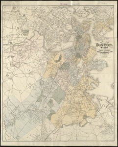
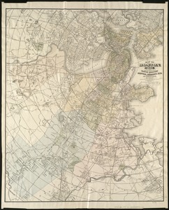
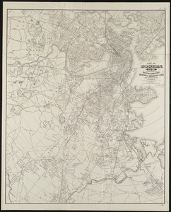
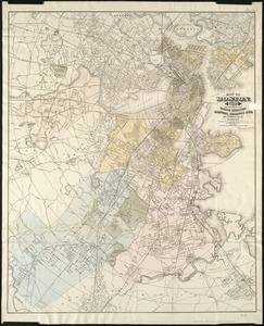
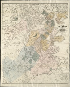
[Map of Boston and vicinity]
415.
Map of Boston and vicinity
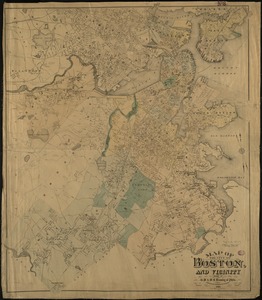
416.
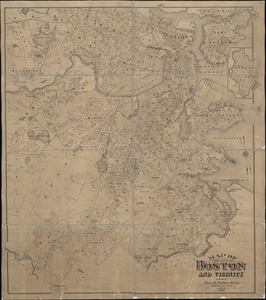
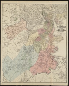
[Map of Boston and vicinity]
417.
Map of Boston and vicinity : from the latest survey
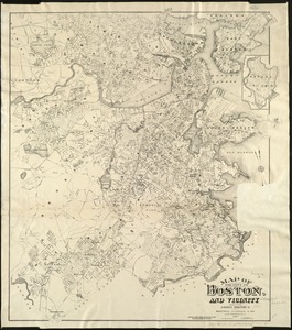
418.
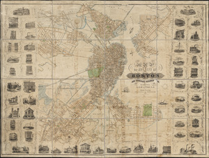
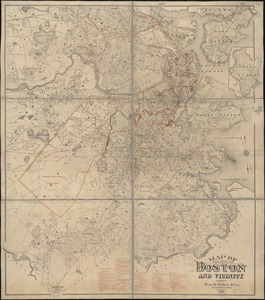
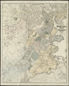
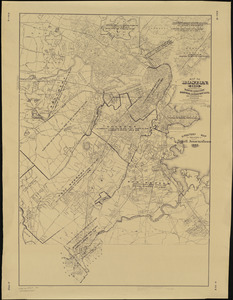
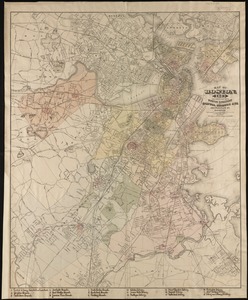
[Map of Boston and vicinity, for the use of guests]
419.
Map of Boston and vicinity including the metropolitan park system
420.
Map of Boston and vicinity, showing tracks operated by the Boston Elevated Railway Co. January, 1910
421.
Map of Boston and vicinity showing tracks operated by the Boston Elevated Railway Co., surface lines
422.
Map of Boston (as it should be) and the country adjacent, with proposed harbor improvements, etc
423.
Map of Boston Common : with surrounding streets & adjacent parts of Beacon Hill
424.
Map of Boston Common and Public Garden
425.
Map of Boston, comprising the whole city, with the new boundaries of the wards
426.
A map of Boston, county of Suffolk and the adjacent towns
427.
Map of Boston, for 1874
428.
Map of Boston for 1874
429.
Map of Boston, for 1875
430.
Map of Boston, for 1876
431.
Map of Boston, for 1877
432.
Map of Boston, for 1878
433.
Map of Boston, for 1879
434.
Map of Boston for 1880
435.
Map of Boston, for 1881
436.
Map of Boston, for 1881
437.
Map of Boston, for 1882
438.
Map of Boston, for 1883
439.
Map of Boston, for 1883
440.
Map of Boston, for 1884
441.
Map of Boston, for 1885
442.
Map of Boston, for 1886
443.
Map of Boston, for 1887
444.
Map of Boston, for 1888
445.
Map of Boston, for 1889
446.
Map of Boston from the latest surveys
447.
Map of Boston from the latest surveys
448.
Map of Boston from the latest surveys
449.
Map of Boston from the latest surveys
450.
Map of Boston from the latest surveys
451.
Map of Boston from the latest surveys
452.
Map of Boston Harbor
453.
Map of Boston in the state of Massachusetts
454.
Map of Boston postal stations
455.
Map of Boston proper
456.
Map of Boston proper, Charlestown, South Boston and East Boston : showing original territory of old Boston, the areas filled...
457.
Map of Boston proper, showing proposed railroad tunnels and business streets
458.
Map of Boston showing location of the Lenox
459.
[Map of Boston, showing surface lines, proposed elevated lines, connecting surface lines and route of subway
460.
Map of central Boston and Cambridge
461.
Map of Dorchester, Roxbury, and West Roxbury
462.
Map of Hyde Park and Milton
463.
Map of Massachusetts
464.
Map of part of Boston, Mass
465.
Map of public transportation routes in Greater Boston served by the Massachusetts Bay Transportation Authority comprising 64...
466.
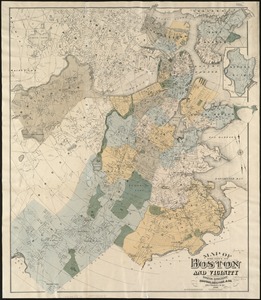
[Map of Scollay Square and vicinity]
467.
Map of the Boston Elevated Ry. 1915
468.
Map of the Boston Elevated Ry. 1927
469.
Map of the central business district city of Boston showing the location of underground conduits
470.
Map of the central business district of Boston
471.
Map of the cities of Boston, Cambridge, Somerville and Chelsea, and the town of Brookline with parts of Newton, Malden and...
472.
Map of the city and vicinity of Boston, Massachusetts
473.
Map of the city and vicinity of Boston Massachusetts
474.
Map of the city of Boston
475.
Map of the city of Boston
476.
Map of the city of Boston : from the recent surveys of the city and dist. surveyors, and from official records and actual surveys
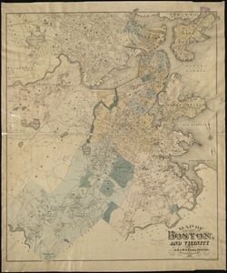
477.
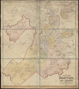
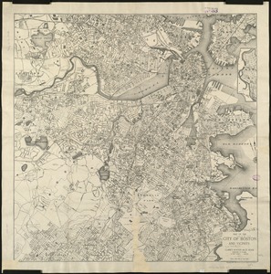
[Map of the city of Boston]
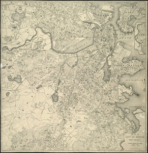
478.
Map of the city of Boston and immediate neighborhood : from original surveys
479.
Map of the city of Boston and its environs
480.
Map of the city of Boston and its environs
481.
Map of the city of Boston and vicinity
482.
Map of the city of Boston and vicinity
483.
Map of the city of Boston and vicinity
484.
Map of the city of Boston and vicinity
485.
Map of the city of Boston and vicinity
486.
Map of the city of Boston and vicinity
487.
Map of the city of Boston and vicinity
488.
Map of the city of Boston and vicinity
489.
Map of the city of Boston and vicinity
490.
Map of the city of Boston and vicinity
491.
Map of the city of Boston and vicinity
492.
Map of the city of Boston and vicinity
493.
Map of the city of Boston and vicinity
494.
Map of the city of Boston and vicinity
495.
Map of the city of Boston and vicinity
496.
Map of the city of Boston and vicinity
497.
Map of the city of Boston and vicinity
498.
Map of the city of Boston and vicinity
499.
Map of the city of Boston, for 1890
500.
Map of the city of Boston, for 1891
‹ Prev
Next ›
1
2
3
4
5
6
7
8
9
10


![[Map of Boston and vicinity]](https://bpldcassets.blob.core.windows.net/derivatives/images/commonwealth:9s161d374/image_thumbnail_300.jpg)

![[Map of Boston and vicinity]](https://bpldcassets.blob.core.windows.net/derivatives/images/commonwealth:wd376691q/image_thumbnail_300.jpg)

![[Map of Boston and vicinity, for the use of guests]](https://bpldcassets.blob.core.windows.net/derivatives/images/commonwealth:9s161d25b/image_thumbnail_300.jpg)


![[Map of Scollay Square and vicinity]](https://bpldcassets.blob.core.windows.net/derivatives/images/commonwealth:x059cc25q/image_thumbnail_300.jpg)


![[Map of the city of Boston]](https://bpldcassets.blob.core.windows.net/derivatives/images/commonwealth:x059cc29t/image_thumbnail_300.jpg)