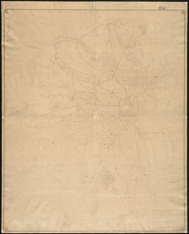
[Map of Boston, showing surface lines, proposed elevated lines, connecting surface lines and route of subway
Item Information
- Title:
- [Map of Boston, showing surface lines, proposed elevated lines, connecting surface lines and route of subway
- Creator:
- Boston Elevated Railway Company
- Date:
-
[1898]
- Format:
-
Maps/Atlases
- Location:
-
Boston Public Library
Norman B. Leventhal Map & Education Center - Collection (local):
-
Norman B. Leventhal Map & Education Center Collection
- Subjects:
-
Street-railroads--Massachusetts--Boston--Maps
Subways--Massachusetts--Boston--Maps
Boston (Mass.)--Maps
- Places:
-
MassachusettsSuffolk (county)Boston
- Extent:
- 1 map ; 104 x 85 cm.
- Terms of Use:
-
No known copyright restrictions.
No known restrictions on use.
- Publisher:
-
Boston :
Boston Elevated Railway Co.
- Scale:
-
Scale [ca. 1:19,500].
- Language:
-
English
- Notes:
-
Title supplied by cataloger.
Bromide print.
- Notes (date):
-
This date is inferred.
- Identifier:
-
06_01_004735
- Call #:
-
G3764.B6P33 1898 .B67
- Barcode:
-
39999059007193


