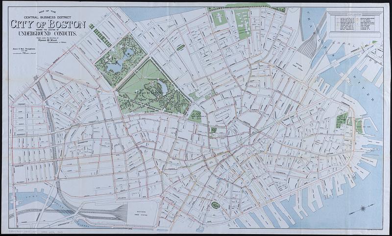
Map of the central business district city of Boston showing the location of underground conduits
Item Information
- Title:
- Map of the central business district city of Boston showing the location of underground conduits
- Cartographer:
- Ball, James T.
- Contributor:
- Flood, Thomas W.
- Name on Item:
-
made under the direction of Thomas W. Flood, Commissioner of Wires ; James T. Ball, draughtsman
- Date:
-
1900
- Format:
-
Maps/Atlases
- Location:
-
Boston Public Library
Norman B. Leventhal Map & Education Center - Collection (local):
-
Norman B. Leventhal Map & Education Center Collection
- Subjects:
-
Boston (Mass.)--Maps
Electric conduits--Massachusetts--Boston--Maps
- Places:
-
MassachusettsSuffolk (county)Boston
- Extent:
- 1 map : color ; 62 x 101 cm
- Terms of Use:
-
No known copyright restrictions.
No known restrictions on use.
- Publisher:
-
Boston :
Heliotype Printing Co.
- Scale:
-
Scale approximately 1:3,000
- Language:
-
English
- Notes:
-
Oriented with north to the upper right.
- Identifier:
-
06_01_018284
- Call #:
-
G3764.B6N4 1900 .M37
- Barcode:
-
39999085965125


