Toggle navigation
LMEC Home
Exhibitions
Georeferencing
Tools for Teachers
Collections
My Favorites
Sign Up / Log In
Search
Search the map portal
Map Collection
Map Collection
Map Sets
Search
Search
Search for
Search In
All Fields
Creator
Title
Subject
Place
Search All Digital Collections
Advanced Search
8329 Results
My Search
Start Over
More Like
commonwealth:x059cc38s
Remove constraint More Like: commonwealth:x059cc38s
Filter your Search
Place
North and Central America
5,078
United States
3,766
Suffolk (county)
1,188
Boston
1,161
Europe
963
Canada
427
Massachusetts
274
France
269
more
Place
»
Topic
Boston (Mass.)--Maps
740
United States--Maps
270
Real property--Massachusetts--Boston--Maps
194
Massachusetts--Maps
163
City planning--Massachusetts--Boston--Maps
154
Landowners--Massachusetts--Boston--Maps
141
North America--Maps--Early works to 1800
103
New England--Maps
101
more
Topic
»
Date
Date range begin
–
Date range end
Current results range from
1482
to
2023
View distribution
Creator
United States. Hydrographic Office
357
Boston Redevelopment Authority
160
O.H. Bailey & Co
148
Des Barres, Joseph F. W. (Joseph Frederick Wallet), 1722-1824
124
United States. Post Office Dept
120
Ptolemy, 2nd cent
100
Walling, Henry Francis, 1825-1888
94
Jefferys, Thomas, -1771
84
more
Creator
»
Format
Maps/Atlases
8,270
Manuscripts
215
Prints
51
Books
36
Objects/Artifacts
10
Drawings/Illustrations
8
Posters
4
Georeferenced
Yes
884
No
7,445
Collection
Norman B. Leventhal Map Center Collection
8,191
Boston and New England Maps
2,308
Urban Maps
2,043
Maritime Charts and Atlases
750
American Revolutionary War-Era Maps
638
Boston Redevelopment Authority Collection
190
Mapping Boston Collection
20
Massachusetts Real Estate Atlases
12
more
Collection
»
Available to use
No known restrictions
8,133
Creative Commons license
69
Search Constraints
Sort by relevance
relevance
title
date (asc)
date (desc)
Number of results to display per page
100 per page
10
per page
20
per page
50
per page
100
per page
View results as:
grid view
map view
Search Results
201.
Map of Boston and vicinity showing tracks operated by the Boston Elevated Railway Co., surface lines
202.
Map of Boston (as it should be) and the country adjacent, with proposed harbor improvements, etc
203.
Map of Boston Common : with surrounding streets & adjacent parts of Beacon Hill
204.
Map of Boston Common and Public Garden
205.
Map of Boston, comprising the whole city, with the new boundaries of the wards
206.
A map of Boston, county of Suffolk and the adjacent towns
207.
Map of Boston, for 1874
208.
Map of Boston for 1874
209.
Map of Boston, for 1875
210.
Map of Boston, for 1876
211.
Map of Boston, for 1877
212.
Map of Boston, for 1878
213.
Map of Boston, for 1879
214.
Map of Boston for 1880
215.
Map of Boston, for 1881
216.
Map of Boston, for 1881
217.
Map of Boston, for 1882
218.
Map of Boston, for 1883
219.
Map of Boston, for 1883
220.
Map of Boston, for 1884
221.
Map of Boston, for 1885
222.
Map of Boston, for 1886
223.
Map of Boston, for 1887
224.
Map of Boston, for 1888
225.
Map of Boston, for 1889
226.
Map of Boston from the latest surveys
227.
Map of Boston from the latest surveys
228.
Map of Boston from the latest surveys
229.
Map of Boston from the latest surveys
230.
Map of Boston from the latest surveys
231.
Map of Boston from the latest surveys
232.
Map of Boston Harbor
233.
Map of Boston postal stations
234.
Map of Boston proper
235.
Map of Boston proper, Charlestown, South Boston and East Boston : showing original territory of old Boston, the areas filled...
236.
Map of Boston showing location of the Lenox
237.
[Map of Boston, showing surface lines, proposed elevated lines, connecting surface lines and route of subway
238.
Map of central Boston and Cambridge
239.
Map of Dorchester, Roxbury, and West Roxbury
240.
Map of Hyde Park and Milton
241.
Map of Massachusetts
242.
[Map of New England, 31st]
243.
Map of part of Boston, Mass
244.
Map of public transportation routes in Greater Boston served by the Massachusetts Bay Transportation Authority comprising 64...
245.
[Map of Scollay Square and vicinity]
246.
Map of the Boston Elevated Ry. 1915
247.
Map of the Boston Elevated Ry. 1927
248.
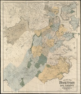
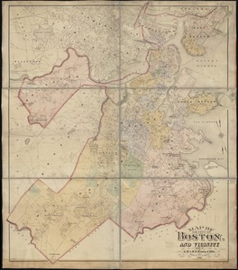
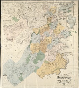
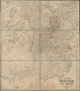
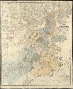
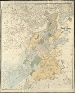
Map of the central business district city of Boston showing the location of underground conduits
249.
Map of the central business district of Boston
250.
Map of the cities of Boston, Cambridge, Somerville and Chelsea, and the town of Brookline with parts of Newton, Malden and...
251.
Map of the city and vicinity of Boston, Massachusetts
252.
Map of the city and vicinity of Boston Massachusetts
253.
Map of the city of Boston
254.
Map of the city of Boston
255.
Map of the city of Boston : from the recent surveys of the city and dist. surveyors, and from official records and actual surveys
256.
[Map of the city of Boston]
257.
Map of the city of Boston and immediate neighborhood : from original surveys
258.
Map of the city of Boston and its environs
259.
Map of the city of Boston and its environs
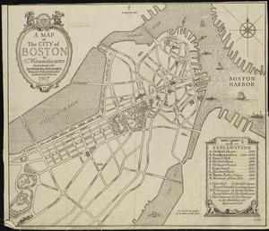
260.
Map of the city of Boston and vicinity
261.
Map of the city of Boston and vicinity
262.
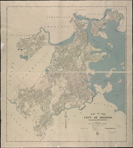
Map of the city of Boston and vicinity
263.
Map of the city of Boston and vicinity
264.
Map of the city of Boston and vicinity
265.
Map of the city of Boston and vicinity
266.
Map of the city of Boston and vicinity
267.
Map of the city of Boston and vicinity
268.
Map of the city of Boston and vicinity
269.
Map of the city of Boston and vicinity
270.
Map of the city of Boston and vicinity
271.
Map of the city of Boston and vicinity
272.
Map of the city of Boston and vicinity
273.
Map of the city of Boston and vicinity
274.
Map of the city of Boston and vicinity
275.
Map of the city of Boston and vicinity
276.
Map of the city of Boston and vicinity
277.
Map of the city of Boston and vicinity
278.
Map of the city of Boston, for 1890
279.
Map of the city of Boston, for 1891
280.
Map of the city of Boston, for 1892
281.
Map of the city of Boston, for 1893
282.
Map of the city of Boston, for 1894
283.
A map of the city of Boston in Massachusetts
284.
Map of the city of Boston Massachusetts
285.
Map of the city of Boston, Massts., 1852
286.
Map of the eastern junc. Broad Sound Pier, & Pt. Shirley railroad : steamboat lines and connections : established for the...
287.
[Map of the end of Boston Wharf from which restrictions are to be taken off]
288.
Map of the metropolitan district of Boston, Massachusetts : showing local public reservations and holdings of the Metropolitan...
289.
Map of the metropolitan district of Boston, Massachusetts : showing the existing public reservations and such new open spaces...
290.
Map of the Metropolitan District of Boston showing local public reservations and holdings of the Metropolitan District...
291.
Map of the principal part of Boston, and adjacent cities, for 1873
292.
Map of the water region of the county of Middlesex exhibiting the mode of supplying Boston & Charlestown with soft water from...
293.
A map plat or draught of the twelve divisions of land as they were laid out, bounded & measured to ye proprietors in...
294.
Map showing Boston territory tributary to South Metropolitan system and Boston main drainage system
295.
Map showing drives from the Walker-Gordon Laboratory, 203 Claredon St., Boston, to the Laboratory Farm in Wellesley
296.
Map showing horse rail roads and the surface steam roads with 104 stations in and around Boston : including 91 surface steam...
297.
Map showing Metropolitan Sewerage District : January 1, 1921
298.
Map showing the sources of some of the offensive odors perceived in Boston, 1878
299.
Map showing the terminal facilities of Boston
300.
Map showing the terminal facilities of Boston
‹ Prev
Next ›
1
2
3
4
5
6
7
…
83
84


![[Map of New England, 31st]](https://bpldcassets.blob.core.windows.net/derivatives/images/commonwealth:wd3763094/image_thumbnail_300.jpg)


![[Map of Scollay Square and vicinity]](https://bpldcassets.blob.core.windows.net/derivatives/images/commonwealth:x059cc25q/image_thumbnail_300.jpg)


![[Map of the city of Boston]](https://bpldcassets.blob.core.windows.net/derivatives/images/commonwealth:x059cc29t/image_thumbnail_300.jpg)


![[Map of the end of Boston Wharf from which restrictions are to be taken off]](https://bpldcassets.blob.core.windows.net/derivatives/images/commonwealth:9s161d66k/image_thumbnail_300.jpg)


