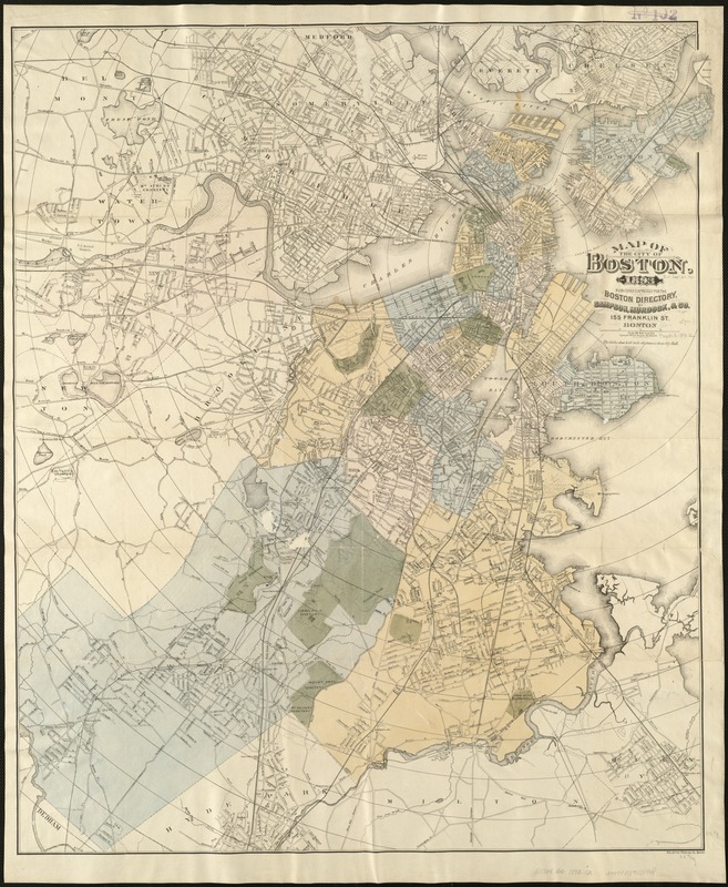
Map of the city of Boston, for 1893
Item Information
- Title:
- Map of the city of Boston, for 1893
- Creator:
- Sampson, Murdock & Co
- Date:
-
[1893]
- Format:
-
Maps/Atlases
- Location:
-
Boston Public Library
Norman B. Leventhal Map & Education Center - Collection (local):
-
Norman B. Leventhal Map & Education Center Collection
- Subjects:
-
Boston (Mass.)--Maps
- Places:
-
MassachusettsSuffolk (county)Boston
- Extent:
- 1 map : hand col. ; 83 x 68 cm.
- Terms of Use:
-
No known copyright restrictions.
No known restrictions on use.
- Publisher:
-
Boston :
Sampson, Murdock, & Co.
- Scale:
-
Scale [1:19,800]
- Language:
-
English
- Notes:
-
Covers also parts of adjacent towns and cities, including all of Cambridge, Somerville, and Brookline.
"Published expressly for the Boston directory."
In lower right margin: Heliotype Printing Co.
Shows radial distances from City Hall.
Circles drawn at 1/2 mile intervals.
These are all printed from the same plate, corrected from year to year, but vary slightly in dimensions, owing to shrinkage, etc. of paper.
- Notes (date):
-
This date is inferred.
- Identifier:
-
06_01_004698
- Call #:
-
G3764.B6 1893 .S2
- Barcode:
-
39999059006948


