Toggle navigation
LMEC Home
Exhibitions
Georeferencing
Tools for Teachers
Collections
My Favorites
Sign Up / Log In
Search
Search the map portal
Map Collection
Map Collection
Map Sets
Search
Search
Search for
Search In
All Fields
Creator
Title
Subject
Place
Search All Digital Collections
Advanced Search
8341 Results
My Search
Start Over
More Like
commonwealth:js956m00h
Remove constraint More Like: commonwealth:js956m00h
Filter your Search
Place
North and Central America
5,090
United States
3,920
Suffolk (county)
1,200
Boston
1,173
Europe
963
Canada
427
Massachusetts
329
France
269
more
Place
»
Topic
Boston (Mass.)--Maps
740
United States--Maps
270
Real property--Massachusetts--Boston--Maps
194
City planning--Massachusetts--Boston--Maps
165
Massachusetts--Maps
163
Landowners--Massachusetts--Boston--Maps
141
North America--Maps--Early works to 1800
103
New England--Maps
101
more
Topic
»
Date
Date range begin
–
Date range end
Current results range from
1482
to
2023
View distribution
Creator
United States. Hydrographic Office
357
Boston Redevelopment Authority
169
O.H. Bailey & Co
148
Des Barres, Joseph F. W. (Joseph Frederick Wallet), 1722-1824
124
United States. Post Office Dept
120
Ptolemy, 2nd cent
100
Walling, Henry Francis, 1825-1888
94
Jefferys, Thomas, -1771
84
more
Creator
»
Format
Maps/Atlases
8,282
Manuscripts
215
Prints
51
Books
36
Objects/Artifacts
10
Drawings/Illustrations
8
Posters
4
Georeferenced
Yes
885
No
7,456
Collection
Norman B. Leventhal Map Center Collection
8,191
Boston and New England Maps
2,320
Urban Maps
2,054
Maritime Charts and Atlases
750
American Revolutionary War-Era Maps
638
Boston Redevelopment Authority Collection
202
Mapping Boston Collection
20
Massachusetts Real Estate Atlases
12
more
Collection
»
Available to use
No known restrictions
8,145
Creative Commons license
69
Search Constraints
Sort by relevance
relevance
title
date (asc)
date (desc)
Number of results to display per page
100 per page
10
per page
20
per page
50
per page
100
per page
View results as:
grid view
map view
Search Results
301.
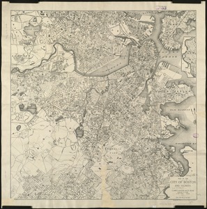
Map of the city of Boston and its environs
302.
Map of the city of Boston and its environs
303.
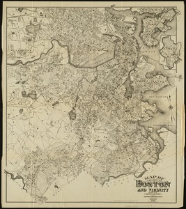
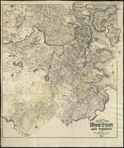
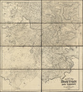
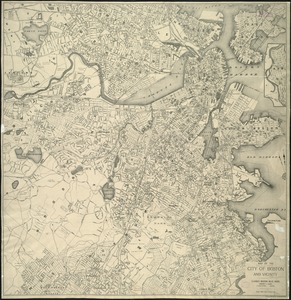
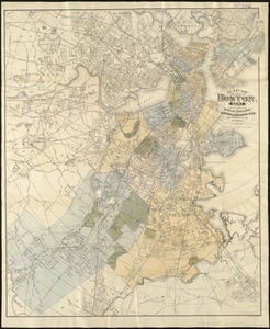
Map of the city of Boston and vicinity
304.
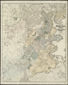
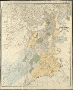
Map of the city of Boston and vicinity
305.
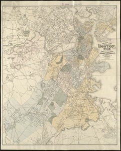
Map of the city of Boston and vicinity
306.
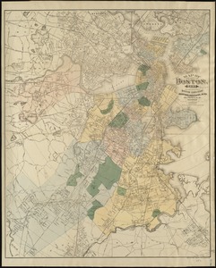
Map of the city of Boston and vicinity
307.
Map of the city of Boston and vicinity
308.
Map of the city of Boston and vicinity
309.
Map of the city of Boston and vicinity
310.
Map of the city of Boston and vicinity
311.
Map of the city of Boston and vicinity
312.
Map of the city of Boston and vicinity
313.
Map of the city of Boston and vicinity
314.
Map of the city of Boston and vicinity
315.
Map of the city of Boston and vicinity
316.
Map of the city of Boston and vicinity
317.
Map of the city of Boston and vicinity
318.
Map of the city of Boston and vicinity
319.
Map of the city of Boston and vicinity
320.
Map of the city of Boston and vicinity
321.
Map of the city of Boston, for 1890
322.
Map of the city of Boston, for 1891
323.
Map of the city of Boston, for 1892
324.
Map of the city of Boston, for 1893
325.
Map of the city of Boston, for 1894
326.
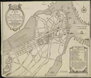
A map of the city of Boston in Massachusetts
327.
Map of the city of Boston Massachusetts
328.
Map of the city of Boston, Massts., 1852
329.
Map of the eastern junc. Broad Sound Pier, & Pt. Shirley railroad : steamboat lines and connections : established for the...
330.
[Map of the end of Boston Wharf from which restrictions are to be taken off]
331.
Map of the metropolitan district of Boston, Massachusetts : showing the existing public reservations and such new open spaces...
332.
Map of the Metropolitan District of Boston showing local public reservations and holdings of the Metropolitan District...
333.
Map of the principal part of Boston, and adjacent cities, for 1873
334.
Map of the water region of the county of Middlesex exhibiting the mode of supplying Boston & Charlestown with soft water from...
335.
A map plat or draught of the twelve divisions of land as they were laid out, bounded & measured to ye proprietors in...
336.
Map showing Boston territory tributary to South Metropolitan system and Boston main drainage system
337.
Map showing drives from the Walker-Gordon Laboratory, 203 Claredon St., Boston, to the Laboratory Farm in Wellesley
338.
Map showing horse rail roads and the surface steam roads with 104 stations in and around Boston : including 91 surface steam...
339.
Map showing Metropolitan Sewerage District : January 1, 1921
340.
Map showing the sources of some of the offensive odors perceived in Boston, 1878
341.
Map showing the terminal facilities of Boston
342.
Map showing the terminal facilities of Boston
343.
Map showing the terminal facilities of Boston
344.
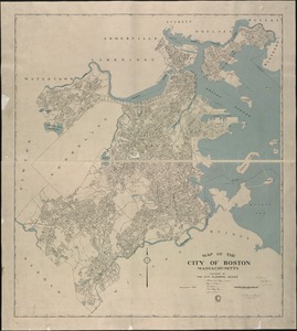
Maps from General plan for Boston : preliminary report, December, 1950
345.
Massachusetts Bay Transportation Authority
346.
Massachusetts Bay Transportation Authority system map
347.
Massachusetts Bay Transportation Authority system route map
348.
Massachusetts Bay Transportation Authority system route map
349.
Massachusetts official transportation map
350.
Massachusetts official transportation map
351.
Massachusetts Turnpike map : the main street of Massachusetts
352.
MBTA flood exposure : 36" SLR 2070s or later
353.
MBTA map : 1977-1978
354.
Mean travel time to work
355.
Metropolitan Boston transportation map : subway, bus, rail
356.
Metropolitan Boston transportation map : subway, bus, rail
357.
Metropolitan Boston transportation map : subway, bus, rail
358.
Metropolitan Boston transportation map : subway, bus, rail
359.
Metropolitan Boston transportation map : subway, bus, rail
360.
Metropolitan Boston transportation map : subway, bus, rail
361.
Metropolitan Transit Authority system route map
362.
Metropolitan Transit Authority system route map
363.
Metropolitan Transit Authority system route map
364.
Metropolitan Transit Authority system route map
365.
Metropolitan Transit Authority system route map
366.
Metropolitan Transit Authority system route map
367.
Metropolitan Transit Authority system route map
368.
Metropolitan Transit Authority system route map
369.
[Mill dam survey : Boston, Roxbury, Brookline &c.]
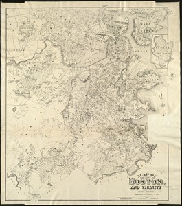
370.
Most popular mode of commuting : 2014-2018 American Community Survey
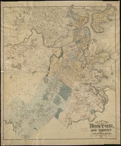
371.
Motor routes that intersect the Bay Circuit
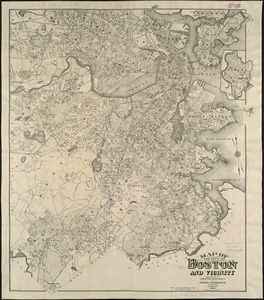
372.
Nanitz' great mercantile map of Boston
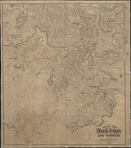
373.
Neighborhoods of Boston
374.
A new & complete map of the city of Boston, and precincts including part of Charlestown, Cambridge & Roxbury : from the best...
375.
A new & complete map of the city of Boston, and precincts including part of Charlestown, Cambridge & Roxbury : from the best...
376.
A new & complete map of the city of Boston, with part of Charlestown, Cambridge & Roxbury : from the best authorities
377.
A new & complete map of the city of Boston, with part of Charlestown, Cambridge & Roxbury
378.
A new & complete map of the city of Boston, with part of Charlestown, Cambridge & Roxbury
379.
A new & complete map of the city of Boston, with part of Charlestown, Cambridge & Roxbury
380.
A new & complete map of the city of Boston, with part of Charlestown, Cambridge, Brookline, Dorchester &c
381.
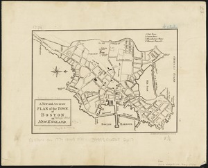
A new and accurate plan of the town of Boston in New England
382.
New Boston and Charles River Bay
383.
New map of Boston
384.
New map of Boston, comprising the whole city, with the new boundaries of the wards
385.
New map of Boston, comprising the whole city, with the new boundaries of the wards
386.
New map of Boston, comprising the whole city, with the new boundaries of the wards
387.
New map of Boston, comprising the whole city, with the new boundaries of the wards
388.
New map of Boston, comprising the whole city, with the new boundaries of the wards
389.
New map of Boston, comprising the whole city, with the new boundaries of the wards
390.
New map of Boston, comprising the whole city, with the new boundaries of the wards
391.
New map of Boston, comprising the whole city, with the new boundaries of the wards
392.
New map of Boston, comprising the whole city, with the new boundaries of the wards
393.
New map of Boston, comprising the whole city, with the new boundaries of the wards
394.
New map of Boston, comprising the whole city, with the new boundaries of the wards
395.
New map of Boston, comprising the whole city, with the new boundaries of the wards
396.
New map of Boston, comprising the whole city, with the new boundaries of the wards
397.
New map of Boston, comprising the whole city, with the new boundaries of the wards
398.
New map of Boston, comprising the whole city with the new boundariess of the wards
399.
New map of Boston from latest surveys
400.
New map of Boston giving all points of interest : with every railway & steamboat terminus, prominent hotels, theatres & public...
‹ Prev
Next ›
1
2
3
4
5
6
7
8
…
83
84


![[Map of the end of Boston Wharf from which restrictions are to be taken off]](https://bpldcassets.blob.core.windows.net/derivatives/images/commonwealth:9s161d66k/image_thumbnail_300.jpg)