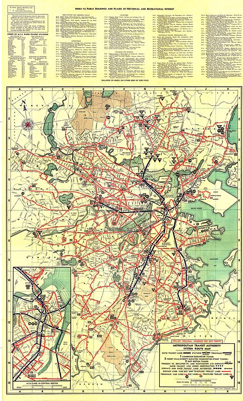
Metropolitan Transit Authority system route map

Item Information
- Title:
- Metropolitan Transit Authority system route map
- Title (alt.):
-
System route map
- Cartographer:
- Lufkin, Richard F. (Richard Friend)
- Publisher:
- Metropolitan Transit Authority (Boston, Mass.)
- Printer:
- Buck Printing Co.
- Name on Item:
-
Richard F. Lufkin, cartographer
- Date:
-
[1950]
- Format:
-
Maps/Atlases
- Location:
-
Boston Public Library
Norman B. Leventhal Map & Education Center - Collection (local):
-
Norman B. Leventhal Map & Education Center Collection
- Subjects:
-
Local transit--Massachusetts--Boston--Maps
Boston (Mass.)--Maps
Metropolitan Transit Authority (Boston, Mass.)
- Places:
-
MassachusettsSuffolk (county)Boston
- Extent:
- 1 map : color
- Terms of Use:
-
No known copyright restrictions.
No known restrictions on use.
- Publisher:
-
Boston :
Metropolitan Transit Authority
- Edition:
- Second M.T.A. edition
- Language:
-
English
- Notes:
-
Oriented with north to the upper left.
Inset: M.T.A. lines in central Boston.
Includes indexes to transit stations and places of interest.
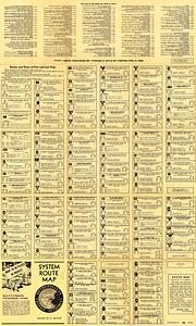
Text, schedules and continuation of index to places of interest on verso.
Manuscript below edition statement on title panel: 1948 1949.
- Notes (date):
-
This date is inferred.
- Identifier:
-
1950-System-Map
1950-System-Cover
- Call #:
-
G3764.B6P33 svar .B67
- Barcode:
-
39999065669267


