Search Constraints
Search Results


102. Africae nova tabula

103. Africae tabula nova


107. Afrika

108. Afrika


110. L'Afrique

111. Afrique


113. Afrique

114. Afrique 1899


121. Ajia tōbu yochizu

122. Alabama


127. The Alaska Railroad

128. Albania


![[Alleen de Caribische Eilanden, vervat in 't groot]](https://bpldcassets.blob.core.windows.net/derivatives/images/commonwealth:st74cw59p/image_thumbnail_300.jpg)


147. Alsace


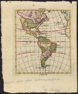
151. America

152. America


154. America

155. America


158. America


160. America meridionalis


171. America settle


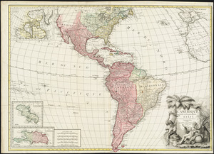
178. Americae

179. Americae


183. Americae nova tabula

184. Americae nova tabula


![The American Pilot [title page]](https://bpldcassets.blob.core.windows.net/derivatives/images/commonwealth:3f462z36r/image_thumbnail_300.jpg)

196. Amerika