Search Constraints
Search Results

901. Barron County, Wis.


908. Barton, Vt

909. Base map of Illinois


912. Bataan
![Bates Manufacturing Company "Androscoggin Division," Lewiston, Maine [insurance map]](https://bpldcassets.blob.core.windows.net/derivatives/images/commonwealth:4j03df215/image_thumbnail_300.jpg)
![Bates Manufacturing Company "Hill Division," Lewiston, Maine [insurance map]](https://bpldcassets.blob.core.windows.net/derivatives/images/commonwealth:4j03df23q/image_thumbnail_300.jpg)

915. Bath, Penn

916. Baton Rouge

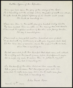
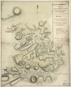

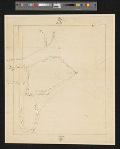
![[Battle of Bunker Hill]](https://bpldcassets.blob.core.windows.net/derivatives/images/commonwealth:z603vj11x/image_thumbnail_300.jpg)


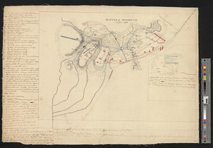

938. Battle of Zorndorf


950. Bay Bulls

953. Bay of Chaleurs


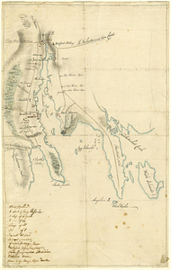
![[Bay of Seven Islands]](https://bpldcassets.blob.core.windows.net/derivatives/images/commonwealth:7h149v48t/image_thumbnail_300.jpg)


966. La Beauce


968. Becket

969. Becket, Mass

971. Bedford
972. Bedford &c.

973. Bedford Co., Pa


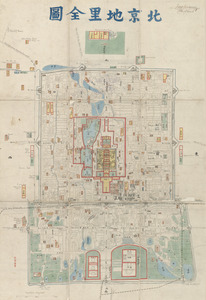
978. Beijing dili quantu


982. Belgii veteris typus


984. Bellows Falls, Vt


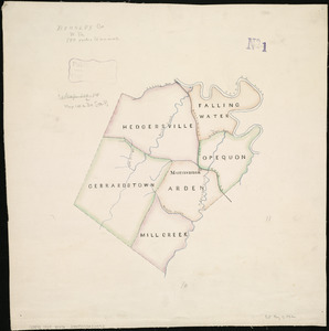
993. Berkley Co., W. Va
![Berkshire Woolen Co., Pittsfield, Mass. [insurance map]](https://bpldcassets.blob.core.windows.net/derivatives/images/commonwealth:2r36vc64v/image_thumbnail_300.jpg)
996. Bermuda Hundred
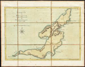
997. Bermudas
999. Bern