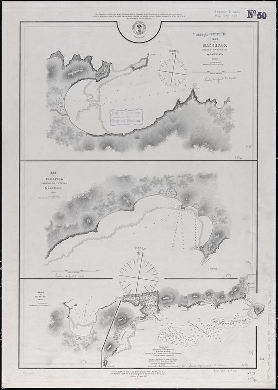
Bay of Massefao, island of Tutuila ; Bay of Fagaitui, island of Tutuila ; Sketch of Aluau Bay, 1839 ; Tutuila Isld., approaches to the harbor of Pago Pago
Item Information
- Title:
- Bay of Massefao, island of Tutuila ; Bay of Fagaitui, island of Tutuila ; Sketch of Aluau Bay, 1839 ; Tutuila Isld., approaches to the harbor of Pago Pago
- Issuing body:
- United States. Hydrographic Office
- Engraver:
- Sherman & Smith
- Cartographer:
- United States Exploring Expedition (1838-1842)
- Name on Item:
-
eng. by Sherman & Smith
- Date:
-
1888
- Format:
-
Maps/Atlases
- Genre:
-
Nautical charts
- Location:
-
Boston Public Library
Norman B. Leventhal Map & Education Center - Collection (local):
-
Norman B. Leventhal Map & Education Center Collection
- Subjects:
-
Masefau Bay (American Samoa)--Maps
Faga'itua Bay (American Samoa)--Maps
Aoloau Bay (American Samoa)--Maps
Pago Pago Harbor (American Samoa)--Maps
Navigation--American Samoa--Tutuila Island
Navigation--American Samoa--Masefau Bay
Navigation--American Samoa--Faga'itua Bay
Navigation--American Samoa--Aoloau Bay
Navigation--American Samoa--Pago Pago Harbor
- Places:
-
American Samoa (territory)Eastern District (area)
American Samoa (territory)Pago Pago Harbor
Masefau Bay
Faga‘itua
Aoloau Bay
- Extent:
- 4 maps on 1 sheet ; 58 x 41 cm
- Terms of Use:
-
No known copyright restrictions.
No known restrictions on use.
- Publisher:
-
Washington, D.C. :
Hydrographic Office
- Edition:
- Edition of June 1887
- Scale:
-
Scale approximately 1:8,000
Scale approximately 1:12,000
Scale approximately 1:12,200
Scale approximately 1:75,000
- Language:
-
English
- Table of Contents:
-
Bay of Massefao, island of Tutuila / by the U.S. Ex. Ex. 1839
Bay of Fagaitui, island of Tutuila / by the U.S. Ex. Ex. 1839
Sketch of Aluau Bay, 1839
Tutuila Isld., approaches to the harbor of Pago Pago / surveyed by the officers of the U.S.S. Narragansett, Comdr. R.W. Meade comdg. 1872.
- Notes:
-
Relief shown by hachures and spot heights. Depths shown by soundings and pictorially.
"Corrected October 1871 at the Hydrographic Office, Washington, D.C."
"Cor. 1888.6."
- Identifier:
-
06_01_017560
- Call #:
-
G9096.P5 svar .U55 no. 93
- Barcode:
-
39999085961074


