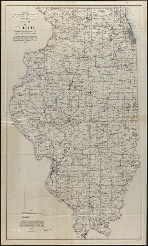
Base map of Illinois
Item Information
- Title:
- Base map of Illinois
- Cartographer:
- Illinois State Geological Survey
- Cartographer:
- Geological Survey (U.S.)
- Name on Item:
-
State Geological Survey Division, prepared in cooperation with the United States Geological Survey
- Date:
-
1924
- Format:
-
Maps/Atlases
- Location:
-
Boston Public Library
Norman B. Leventhal Map & Education Center - Collection (local):
-
Norman B. Leventhal Map & Education Center Collection
- Subjects:
-
Illinois--Maps
- Places:
-
Illinois
- Extent:
- 1 map : color ; 125 x 72 cm
- Terms of Use:
-
No known copyright restrictions.
No known restrictions on use.
- Publisher:
-
[Urbana, Ill.] :
The Survey
- Scale:
-
Scale 1:500,000. Approx. 8 miles to 1 inch
- Language:
-
English
- Notes:
-
Relief shown by spot heights.
- Identifier:
-
06_01_017009
- Call #:
-
G4101.A1 1924 .I45
- Barcode:
-
39999065681304
![[Illinois]](https://bpldcassets.blob.core.windows.net/derivatives/images/commonwealth:4m90f716w/image_thumbnail_300.jpg)