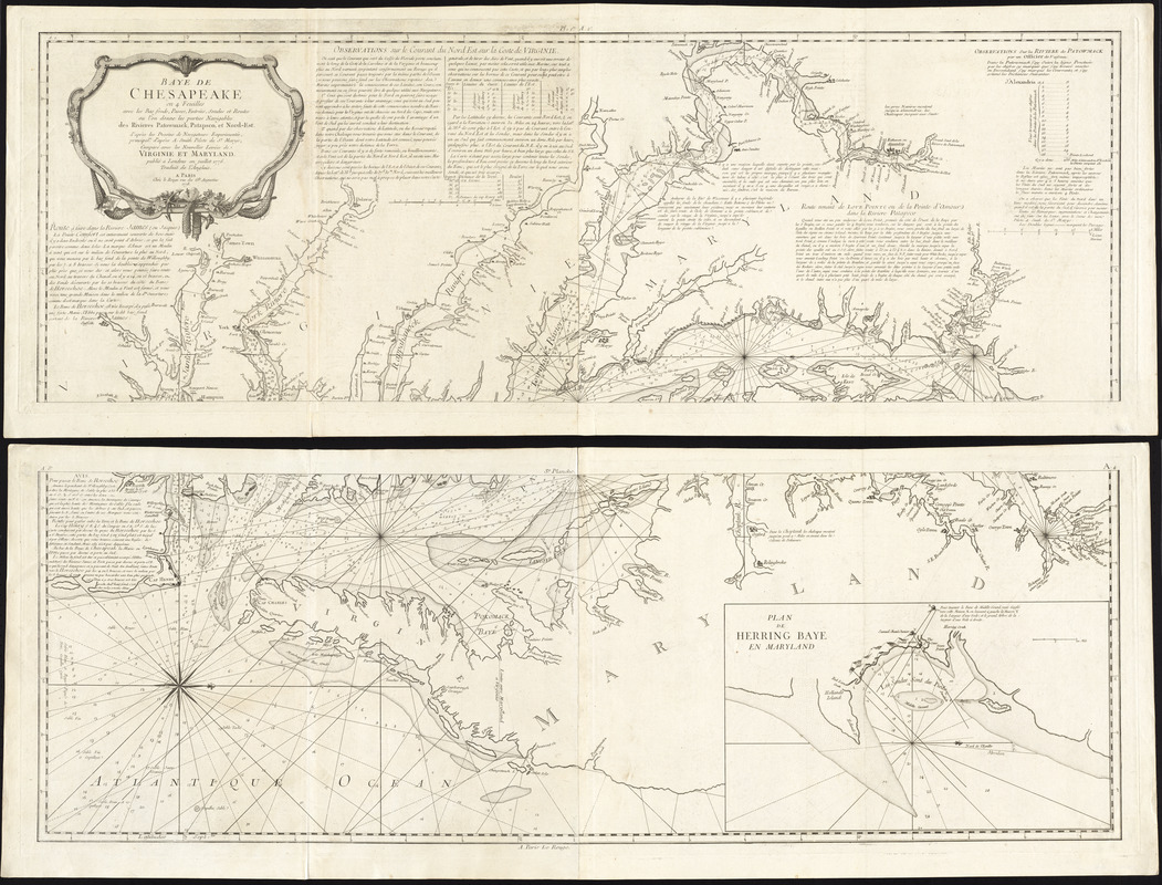
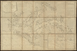
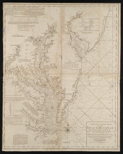
Baye de Chesapeake en 4 feuilles avec les bas fonds, passes, entrées, sondes et routes ou l'on donne les parties navigables des rivieres Patowmack, Patapsco, et Nord-Est : d'après les dessins de navigateurs experimentés, principalt. d'après A. Smith, pilot de St. Marys ; comparé avec les nouvelles levées de Virginie et Maryland ; publié à Londres en Juillet 1776 ; traduit de l'Anglais
This map is also available in American Revolutionary Geographies Online (ARGO), a collections portal especially built for material relating to the American Revolutionary War Era. Visit ARGO to learn more about this item and explore the historical geography of North America in the late eighteenth century.
Item Information
- Title:
- Baye de Chesapeake en 4 feuilles avec les bas fonds, passes, entrées, sondes et routes ou l'on donne les parties navigables des rivieres Patowmack, Patapsco, et Nord-Est : d'après les dessins de navigateurs experimentés, principalt. d'après A. Smith, pilot de St. Marys ; comparé avec les nouvelles levées de Virginie et Maryland ; publié à Londres en Juillet 1776 ; traduit de l'Anglais
- Description:
-
Produced for the French Navy, the rare chart displayed here was the best available chart of this region for the time, and was used by all naval forces involved in combat during the American Revolutionary War. The information on this very detailed chart was based primarily on the work of American Anthony Smith, a local Chesapeake Bay pilot of St. Mary's County. The chart was consulted by Admiral de Grasse in his victory over the British off the Chesapeake Capes on September 5, 1781.
- Creator:
- Smith, Anthony, pilot of St. Marys
- Publisher:
- Le Rouge, Georges-Louis
- Date:
-
1778
- Format:
-
Maps/Atlases
- Location:
- George Washington's Mount Vernon
- Collection (local):
-
Richard H. Brown Revolutionary War Map Collection at Mount Vernon
- Subjects:
-
Nautical charts--Chesapeake Bay (Md. and Va.)--Early works to 1800
Chesapeake Bay (Md. and Va.)--Maps--Early works to 1800
- Places:
-
Chesapeake Bay
- Extent:
- 1 map on 4 sheets : joined into 2 sheets ; 91 x 124 cm., sheets 55 x 145 cm.
- Terms of Use:
-
No known copyright restrictions.
This work is licensed for use under a Creative Commons Attribution Non-Commercial Share Alike License (CC BY-NC-SA).

- Publisher:
-
Paris :
Chèz Le Rouge
- Scale:
-
Scale [ca. 1:227,000]
- Language:
-
French
- Catalog Record:
-
MVLA record
- Notes:
-
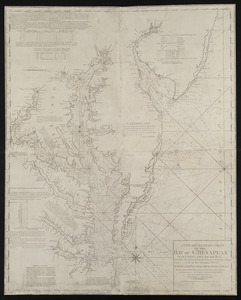
French edition of Anthony Smith's New and accurate chart of the Bay of Chesapeake.
Oriented with north to the right.
Depth shown by soundings.
Includes notes, observations, and distance charts.
Inset: Plan de Herring Baye en Maryland.
In French.
- Identifier:
-
06_01_009620

 IIIF Manifest