Toggle navigation
LMEC Home
Exhibitions
Georeferencing
Tools for Teachers
Collections
My Favorites
Sign Up / Log In
Search
Search the map portal
Map Collection
Map Collection
Map Sets
Search
Search
Search for
Search In
All Fields
Creator
Title
Subject
Place
Search All Digital Collections
Advanced Search
66 Results
My Search
Start Over
1847
Remove constraint 1847
Filter your Search
Place
North and Central America
40
United States
25
Boston Harbor
6
Europe
6
Boston
5
Ecuador
5
Suffolk (county)
5
Mexico
4
more
Place
»
Topic
Boston Harbor (Mass.)--Maps
6
Mexican War, 1846-1848--Campaigns--Maps
3
Boston (Mass.)--Maps
2
Dramatists, English--Homes and haunts--England--Stratford-upon-Avon
2
Germany--Maps
2
Massachusetts--Maps
2
Mexico, Valley of (Mexico)--Maps
2
Nautical charts--Massachusetts--Boston Harbor
2
more
Topic
»
Date
Date range begin
–
Date range end
Current results range from
1815
to
1929
View distribution
Creator
United States. Hydrographic Office
13
United States Coast Survey
4
Franke, M. (Max)
3
Klakring, A. (Alfred)
3
Latimer, J. S. (Joseph S.)
3
Ruebsam, E. A. (E. August)
3
Bruff, Joseph Goldsborough, 1804-1889
2
J.H. Bufford's Lith
2
more
Creator
»
Format
Maps/Atlases
63
Manuscripts
4
Prints
3
Georeferenced
Yes
7
No
59
Collection
Norman B. Leventhal Map Center Collection
61
Boston and New England Maps
18
Maritime Charts and Atlases
18
Urban Maps
10
Mapping Boston Collection
4
Lucius Beebe Memorial Library Historic Maps
1
MacLean Collection Map Library
1
Robert E. Diefenbach Map Collection at Phillips Academy
1
more
Collection
»
Available to use
No known restrictions
60
Creative Commons license
4
Search Constraints
Sort by date (asc)
relevance
title
date (asc)
date (desc)
Number of results to display per page
50 per page
10
per page
20
per page
50
per page
100
per page
View results as:
grid view
map view
Search Results
1.
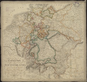
General-Charte von Teutschland nach den besten Quellen bearbeitet und den neuesten politischen Veraenderungen begrenzt
2.
Kaart van Straat Magellaan, Straat Le Maire, het Vuurland en Kaap Hoorn
3.
New England and New York in 1697
4.
Deutschland
5.
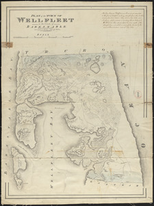
Plan of Wellfleet made by John G. Hales, dated 1831
6.
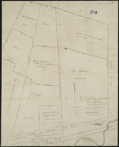
Plan of Stephen W. and Francis Jackson's farm in Newton, 6 1/2 miles from Boston
7.
[Plan of residences on Park Street in Boston]
8.
Coast of North America from Point Judith to St. Antonio, (island of Cuba) including the Bahama Banks
9.
[Plan of lots on O Street, South Boston]
10.
The State of Florida : compiled in the Bureau of Topographical Engineers from the best authorities
11.
Battle of Cerro Gordo, April 17th & 18th 1847
12.
Battles of Mexico : survey of the line of operations of the U.S. Army, under command of Major General Winfield Scott, on the...
13.
Boston Harbour : from the survey of A.S. Wadsworth, Esq., U.S.N. and the chart of Des Barres
14.
Chart of the coast of China, from the Canton River, to the Yang Tze Keang
15.
A correct map of the seat of war in Mexico : being a copy of Genl. Arista's map, taken at Resaca de la Palma, with additions...
16.
The harbor of Holmes' Hole
17.
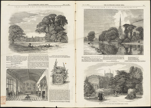
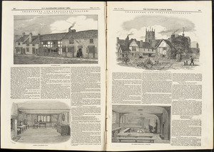
Illustrations of Charlecote Hall, Church of the Holy Trinity, and New Place
18.
Illustrations of Shakespeare's house and school
19.
Map of Malta and its dependencies
20.
Map of New England
21.
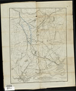
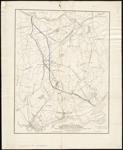
Map of parts of Middlesex & Essex counties showing the rail road routes between Salem, Lowell, Boston & Methuen
22.
Map of parts of Middlesex & Essex counties, showing the rail road routes between Salem, Lowell, Boston & Methuen
23.
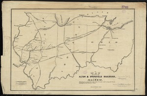
Map of the Alton & Springfield railroad, in Illinois : showing its connection with other roads and proposed roads leading to...
24.
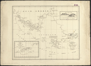
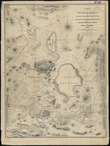
Map of the Valley of Mexico with a plan of the defences of the capital and the line of operations of the United States Army...
25.
Map showing the proposed line of the Manchester Rail Road as petitioned for by S.D. Bell & others
26.
Massachusetts and Rhode Island
27.
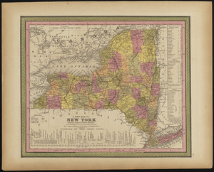
A new map of New York with its canals, roads & distances
28.
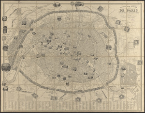
Nouveau plan illustré de la ville de Paris avec le système complet de ses fortifications et forts détachés, et des communes...
29.
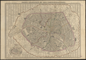
Paris illustré et ses fortifications
30.
Pianta della città di Firenze
31.
Plan of an estate in High St. to be sold at auction Sat. May 1st 1847 at 12 o'clock on the premises by Whitwell, Seaver & Co....
32.
Plan of lots in North Auburn Dale, Newton, Mass
33.
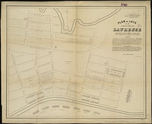
Plan of lots in that part of Methuen called Lawrence : to be sold by the Essex Company at auction on the 28th of April, 1847,...
34.
Plan of the Inner Harbor of Boston
35.
Route of the Providence and Worcester rail road
36.
Siege of Vera Cruz, by the U.S. troops under Major General Scott, in March 1847, from surveys made by Major Turnbull, Captains...
37.
To Chas. Marjoribanks esqre. and the other members of the Honble. East India Company's factory at Canton, this chart of Choo...
38.
A topographical map of the island of Barbados : based upon Mayo's original survey in 1721 and corrected to the year 1846
39.
Map of a tour from Independence to Santa Fé, Chihuahua, Monterey and Matamoros
40.
Extract from the plan of the coast survey of Boston Harbor, 1847
41.
Pictorial map of the United States, 1849
42.
[Plan of channels and flats as they were before the 200 feet outside of the Mill Dam was filled up]
43.
Map of parts of Boston Harbor and its tributaries
44.
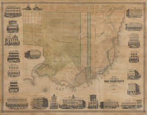
Map of the city of San Francisco
45.
Yggdrasill, the mundane tree
46.
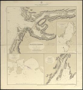
Approaches to Cohasset Harbor Mass. : topography surveyed in 1847 ; hydrography surveyed in 1846-'56
47.
Changes in the bed of Boston Harbor from a comparison of the surveys of 1835-61
48.
Coblenz
49.
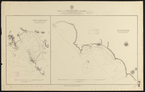
North America, east coast, harbors on the south coast of Newfoundland : republication of Brit. Admty. charts nos. 2829, 301,...
50.
North America, west coast, ports on the west coast of Lower California : from British surveys in 1847, with additions by Comdr....
‹ Prev
Next ›
1
2


![[Plan of residences on Park Street in Boston]](https://bpldcassets.blob.core.windows.net/derivatives/images/commonwealth:9s161h36g/image_thumbnail_300.jpg)

![[Plan of lots on O Street, South Boston]](https://bpldcassets.blob.core.windows.net/derivatives/images/commonwealth:79408310h/image_thumbnail_300.jpg)


![[Plan of channels and flats as they were before the 200 feet outside of the Mill Dam was filled up]](https://bpldcassets.blob.core.windows.net/derivatives/images/commonwealth:b8516207x/image_thumbnail_300.jpg)