Toggle navigation
LMEC Home
Exhibitions
Georeferencing
Tools for Teachers
Collections
My Favorites
Sign Up / Log In
Search
Search the map portal
Map Collection
Map Collection
Map Sets
Search
Search
Search for
Search In
All Fields
Creator
Title
Subject
Place
Search All Digital Collections
Advanced Search
13385 Results
Filter your Search
Place
North and Central America
10,111
United States
8,249
Massachusetts
2,691
Suffolk (county)
1,664
Boston
1,621
Europe
1,386
Canada
949
New York
640
more
Place
»
Topic
Boston (Mass.)--Maps
741
City planning--Massachusetts--Boston--Maps
418
United States--History--Revolution, 1775-1783--Maps
329
United States--Maps
315
Urban renewal--Massachusetts--Boston--Maps
254
Real property--Massachusetts--Boston--Maps
252
Massachusetts--Maps
219
Insurance surveys
197
more
Topic
»
Date
Date range begin
–
Date range end
Current results range from
1482
to
2023
View distribution
Creator
United States. Hydrographic Office
595
Boston Redevelopment Authority
403
Des Barres, Joseph F. W. (Joseph Frederick Wallet), 1722-1824
247
Royal United Services Institute for Defence and Security Studies
160
Jefferys, Thomas, -1771
154
George, III, King of Great Britain, 1738-1820
152
George, IV, King of Great Britain, 1762-1830
151
O.H. Bailey & Co
148
more
Creator
»
Format
Maps/Atlases
13,205
Manuscripts
985
Prints
102
Books
49
Drawings/Illustrations
44
Photographs
15
Objects/Artifacts
13
Documents
7
more
Format
»
Georeferenced
Yes
979
No
12,406
Collection
Norman B. Leventhal Map & Education Center Collection
8,891
American Revolutionary War-Era Maps
3,305
Boston and New England Maps
2,804
Urban Maps
2,397
Maritime Charts and Atlases
1,150
William L. Clements Library Collection
910
Library of Congress Collection
618
Boston Redevelopment Authority Collection
475
more
Collection
»
Available to use
No known restrictions
9,952
Creative Commons license
1,677
Search Constraints
Sort by date (asc)
relevance
title
date (asc)
date (desc)
Number of results to display per page
50 per page
10
per page
20
per page
50
per page
100
per page
View results as:
grid view
map view
Search Results
8101.
Boston and adjacent cities
8102.
Case's map of the United States, the British provinces, Mexico, and part of the West Indies : compiled from the latest...
8103.
Chart of the Vineyard Sound and Nantucket Shoals
8104.
Clue plan for Collins' illustrated guide to London
8105.
East India Archipelago, Singapore roads : from British surveys in 1864 : republication of Brit. Admty. chart no. 1995, with...
8106.
East India Archipelago, Singapore Strait, New Harbor of Singapore : republication of the Brit. Admty. chart no. 2023 :...
8107.
Eldridge's chart of Long Island Sound from Newport to New York
8108.
Fire insurance district atlas : showing the fire insurance districts of the city of Boston : as established by the State...
8109.
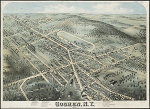
Goshen, N.Y : 1874
8110.
The great overflow : inundated districts of the Mississippi Valey [sic]
8111.
Harbors and anchorages on the eastern coast of Newfoundland : republication of British Adm. charts no. 294 & 489
8112.
Harbors and anchorages on the n.w. coast of Madagascar : from British surveys in 1824, corrected to 1874
8113.
Harbors on the s.w. coast of Newfoundland : republication of Brit. Admty. chart no. 743
8114.
Harbors on the west coast of Newfoundland : republication of Brit. Admty. charts no. 2918 & 7121, corrected to 1874
8115.
Indian Ocean : ports on the western coast of Madagascar : from British surveys, corrected to 1874
8116.
Indian Ocean : ports on the east coast of Madagascar : from British and French surveys, corrected to 1874
8117.
Indian Ocean, harbors of Kerguelen Island : republication of Brit. Admty chart no. 800
8118.
Indian Ocean, Kerguelen Island, Royal Sound ; Royal Sound, Island Harbor
8119.
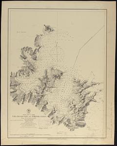
Ipswich and Annisquam harbors, Massachusetts [archaeology in 1874]
8120.
Islands in the North Pacific Ocean : from surveys by the U.S.S. "Portsmouth," Commander J.S. Skerrett, in 1874 ; (Fanning...
8121.
J. Schedler's relief map of Boston and environs
8122.
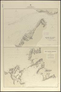
Japan, anchorages in the Seto-Uchi or Inland Sea
8123.
Japan, Gulf of Yezo, Ura-No-Go-Ura and Yokoska Bays : from a French survey in 1870
8124.
Japan-- Inland Sea, channels into the Harima Nada : from British surveys in 1869, corrected to 1874
8125.
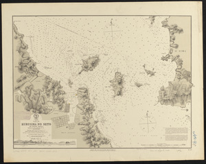
Japan, Inland Sea, Kurusima no Seto and adjacent channels : republication of Brit. Admty. chart no. 131, corrected to 1874
8126.
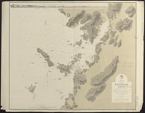
Japan, Kiusiu Island, west coast, Nagasaki Harbor : from Brit. surveys in 1855 & 1861 ; republication of British Admty chart...
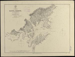
8127.
Japan, Nipon-- south coast, Matoya Harbor : from a British survey in 1870 ; republication of Brit. Admty. chart no. 107 ;...
8128.
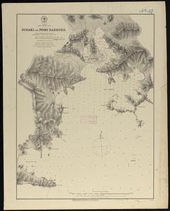
Japan, Sikok-- south coast, Susaki and Nomi Harbors : from a British survey in 1872 ; republication of Brit. Admty. chart no. 995
8129.
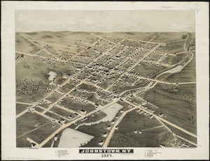
Johnstown, N.Y : 1874
8130.
Korea Strait-- Japan, Tsu Sima Sound, (Tatamura) : from British & Russian surveys in 1859 & 1861 ; republication of British...
8131.
Madagascar--n.w. coast, Bavatoubé Bay (Dalrymple Bay)
8132.
Map from the Pacific Ocean across the Rocky Mountain zone : to accompany report on the exploratory survey
8133.
Map of Boston and the country adjacent, showing rural parks
8134.
Map of Boston and the country adjacent, showing rural parks
8135.
Map of Boston for 1874
8136.
Map of Boston, for 1874
8137.
Map of California and Nevada
8138.
Map of New England with adjacent portions of New York & Canada
8139.
Map of the Black Hills from a reconnaissance by Capt. William Ludlow, Corps of Engineers, 1874, and maps of Warren and Raynolds
8140.
Map of the cities of Boston, Cambridge, Somerville and Chelsea, and the town of Brookline with parts of Newton, Malden and...
8141.
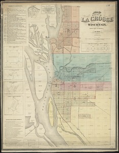
Map of the city of La Crosse, Wisconsin
8142.
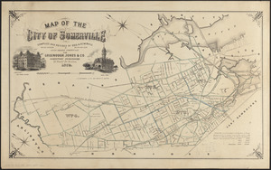
Map of the city of Somerville
8143.
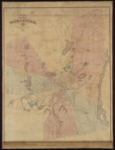
Map of the city of Worcester
8144.
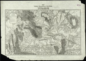
Map of the military Department of the Platte Wyoming
8145.
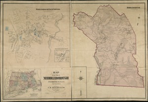
Map of the town of Middleborough : Plymouth Co. Mass. : from actual surveys
8146.
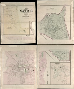
Map of the town of Natick Middlesex Co. Mass : from actual surveys
8147.
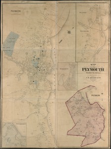
Map of the town of Plymouth : Plymouth Co. Mass. : from actual surveys
8148.
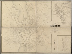
Map of the town of Wakefield Middlesex Co. Mass : from actual surveys
8149.
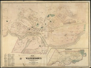
Map of the town of Watertown : Middlesex Co., Mass., from actual surveys
8150.
Map showing in five degrees of density the distribution of woodland within the territory of the United States, 1873
‹ Prev
Next ›
1
2
…
159
160
161
162
163
164
165
166
167
…
267
268


![Ipswich and Annisquam harbors, Massachusetts [archaeology in 1874]](https://bpldcassets.blob.core.windows.net/derivatives/images/commonwealth:2f75vg12c/image_thumbnail_300.jpg)