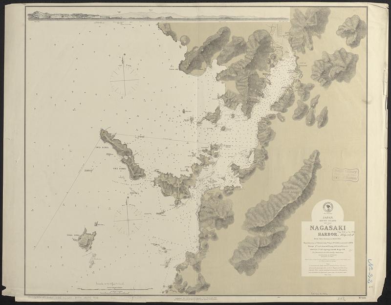
Japan, Kiusiu Island, west coast, Nagasaki Harbor : from Brit. surveys in 1855 & 1861 ; republication of British Admty chart no. 2415, corrected to 1874
Item Information
- Title:
- Japan, Kiusiu Island, west coast, Nagasaki Harbor : from Brit. surveys in 1855 & 1861 ; republication of British Admty chart no. 2415, corrected to 1874
- Issuing body:
- United States. Hydrographic Office
- Date:
-
1874
- Format:
-
Maps/Atlases
- Genre:
-
Nautical charts
- Location:
-
Boston Public Library
Norman B. Leventhal Map & Education Center - Collection (local):
-
Norman B. Leventhal Map & Education Center Collection
- Subjects:
-
Nagasaki Bay (Japan)--Maps
Nautical charts--Japan--Nagasaki Bay
- Places:
-
JapanNagasaki
Nagasaki-wan
- Extent:
- 1 map ; 62 x 73 cm
- Terms of Use:
-
No known copyright restrictions.
No known restrictions on use.
- Publisher:
-
Washington, D.C. :
Hydrographic Office
- Scale:
-
Scale approximately 1:26,000
- Language:
-
English
- Notes:
-
Relief shown by hachures and spot heights. Depths shown by soundings.
Includes view of the entrance.
- Identifier:
-
06_01_017483
- Call #:
-
G9096.P5 svar .U55 no. 651
- Barcode:
-
39999085959581


