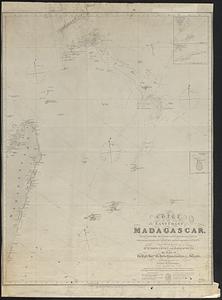
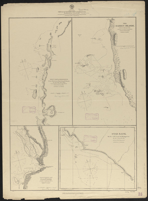
Indian Ocean : ports on the western coast of Madagascar : from British surveys, corrected to 1874
Item Information
- Title:
- Indian Ocean : ports on the western coast of Madagascar : from British surveys, corrected to 1874
- Title (alt.):
-
Ports on the western coast of Madagascar
- Issuing body:
- United States. Hydrographic Office
- Surveyor:
- Owen, W. F. W., 1774-1857
- Surveyor:
- Vidal, A. T. E. (Alexander Thomas Emeric), 1792-1863
- Date:
-
1874
- Format:
-
Maps/Atlases
- Location:
-
Boston Public Library
Norman B. Leventhal Map & Education Center - Collection (local):
-
Norman B. Leventhal Map & Education Center Collection
- Subjects:
-
Coasts--Madagascar--Maps
Nautical charts--Madagascar
Madagascar--Maps
- Places:
-
Madagascar
- Extent:
- 4 maps on 1 sheet ; 74 x 54 cm
- Terms of Use:
-
No known copyright restrictions.
No known restrictions on use.
- Publisher:
-
Washington, D.C. :
Hydrographic Office
- Scale:
-
Scale approximately 1:142,000
Scale approximately 1:148,000
Scale approximately 1:242,000
Scale approximately 1:340,000
- Language:
-
English
- Table of Contents:
-
West Coast of Madagascar : from Murderers' Bay to Cape St. Vincent
The Barren Islands
St. Augustine Bay and Tullear Harbor
Star Bank on the S.W. coast of Madagascar.
- Notes:
-
Relief shown by hachures. Depths shown by soundings and pictorially.
- Identifier:
-
06_01_016650
- Call #:
-
G9096.P5 svar .U55
- Barcode:
-
39999085950226