East India Archipelago, Singapore roads : from British surveys in 1864 : republication of Brit. Admty. chart no. 1995, with corrections to 1874
Item Information
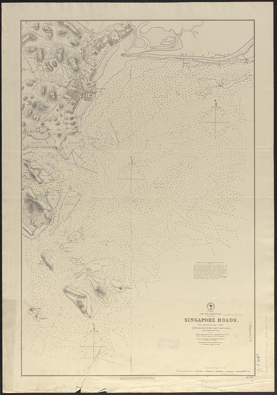
- Title:
- East India Archipelago, Singapore roads : from British surveys in 1864 : republication of Brit. Admty. chart no. 1995, with corrections to 1874
- Issuing body:
- United States. Hydrographic Office
- Date:
-
1874
- Format:
-
Maps/Atlases
- Genre:
-
Nautical charts
- Location:
-
Boston Public Library
Norman B. Leventhal Map & Education Center - Collection (local):
-
Norman B. Leventhal Map & Education Center Collection
- Subjects:
-
Singapore--Maps
Harbors--Singapore--Maps
Roadsteads--Singapore--Maps
Nautical charts--Singapore
- Places:
-
Singapore
- Extent:
- 1 map ; 93 x 61 cm
- Terms of Use:
-
No known copyright restrictions.
No known restrictions on use.
- Publisher:
-
Washington, D.C. :
Hydrographic Office
- Scale:
-
Scale approximately 1:13,800
- Language:
-
English
- Notes:
-
Relief shown by hachures and spot heights. Depths shown by soundings and isolines.
- Identifier:
-
06_01_017689
- Call #:
-
G9096.P5 svar .U55 no. 547
- Barcode:
-
39999085962015


