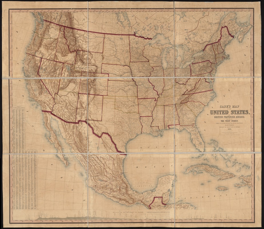
Case's map of the United States, the British provinces, Mexico, and part of the West Indies : compiled from the latest government maps and other official sources
Item Information
- Title:
- Case's map of the United States, the British provinces, Mexico, and part of the West Indies : compiled from the latest government maps and other official sources
- Creator:
- O.D. Case & Company
- Name on Item:
-
engraved and printed by W & A.K. Johnston.
- Date:
-
1874
- Format:
-
Maps/Atlases
- Location:
-
Boston Public Library
Norman B. Leventhal Map & Education Center - Collection (local):
-
Norman B. Leventhal Map & Education Center Collection
- Subjects:
-
United States--Maps
Mexico--Maps
West Indies--Maps
- Places:
-
United States
Mexico
West Indies
- Extent:
- 1 map : hand col. ; 149 x 174 cm.
- Terms of Use:
-
No known copyright restrictions.
No known restrictions on use.
- Publisher:
-
Hartford, [Conn.] :
O.D. Case & Company
- Scale:
-
Scale 1:3,000,000. 47 23/66 miles to 1 in.
- Language:
-
English
- Notes:
-
Relief shown by hachures.
Includes list of counties by state and territories and profile of "Section on the 38th degree of latitude."
- Identifier:
-
06_01_008413
- Call #:
-
G3700 1874 .O33
- Barcode:
-
39999065653626
- LCCN:
-
83691767


