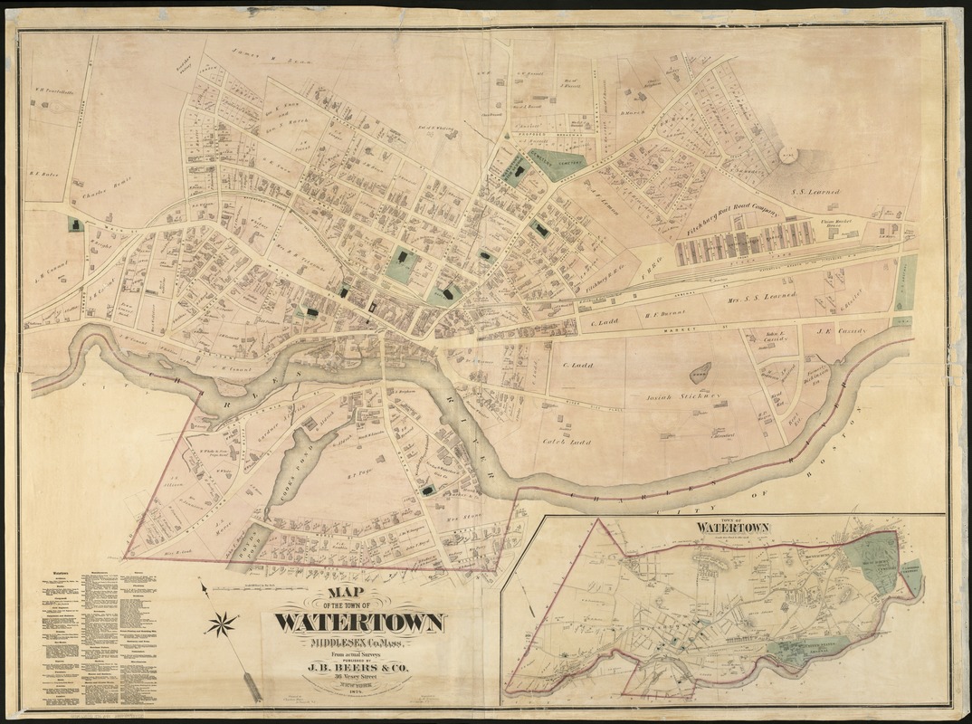
Map of the town of Watertown : Middlesex Co., Mass., from actual surveys
Item Information
- Title:
- Map of the town of Watertown : Middlesex Co., Mass., from actual surveys
- Creator:
- J.B. Beers & Co
- Name on Item:
-
engraved by L.E. Neuman.
- Date:
-
1874
- Format:
-
Maps/Atlases
- Location:
-
Boston Public Library
Norman B. Leventhal Map & Education Center - Collection (local):
-
Norman B. Leventhal Map & Education Center Collection
- Subjects:
-
Real property--Massachusetts--Watertown--Maps
Landowners--Massachusetts--Watertown--Maps
Watertown (Mass.)--Maps
- Places:
-
MassachusettsMiddlesex (county)Watertown
- Extent:
- 1 map : col. ; 110 x 153 cm.
- Terms of Use:
-
No known copyright restrictions.
No known restrictions on use.
- Publisher:
-
New York :
J.B. Beers & Co.
- Scale:
-
Scale 1:1,800.
- Language:
-
English
- Notes:
-
Oriented with north toward the upper left.
Inset: Town of Watertown, Scale 800 feet to the inch [shows entire town at scale 1:9,600].
Subscribers are listed in lower left corner.
- Identifier:
-
06_01_005394
- Call #:
-
G3764.W3G46 1874 .B4x
- Barcode:
-
39999059013720


