Toggle navigation
LMEC Home
Exhibitions
Georeferencing
Tools for Teachers
Collections
My Favorites
Sign Up / Log In
Search
Search the map portal
Map Collection
Map Collection
Map Sets
Search
Search
Search for
Search In
All Fields
Creator
Title
Subject
Place
Search All Digital Collections
Advanced Search
181 Results
My Search
Start Over
More Like
commonwealth:z316w561b
Remove constraint More Like: commonwealth:z316w561b
Filter your Search
Place
North and Central America
153
United States
136
Massachusetts
109
Atlantic Ocean
21
Great Lakes
17
Middlesex (county)
17
Bristol (county)
9
Plymouth (county)
8
more
Place
»
Topic
North Atlantic Ocean--Maps
20
Massachusetts--Maps
19
Great Lakes (North America)--Maps
18
Nautical charts--North Atlantic Ocean
9
North Atlantic Ocean--Navigation
7
Atlantic Coast (U.S.)--Maps
4
Canada--Maps
4
Dedham (Mass.)--Maps
4
more
Topic
»
Date
Date range begin
–
Date range end
Current results range from
1668
to
2010
View distribution
Creator
Applied Geographics, Inc.
61
MassGIS (Office : Mass.)
56
Massachusetts. Executive Office of Environmental Affairs
32
Geological Survey (U.S.)
9
Massachusetts Bays Program
8
Massachusetts Coastal Zone Management Office
8
United States. Hydrographic Office
7
National Ocean Survey
6
more
Creator
»
Format
Maps/Atlases
180
Ephemera
1
Georeferenced
Yes
2
No
179
Collection
Norman B. Leventhal Map & Education Center Collection
163
Applied Geographics, Inc. Records
143
Boston and New England Maps
117
Urban Maps
28
Maritime Charts and Atlases
23
American Revolutionary War-Era Maps
19
William L. Clements Library Collection
15
Maps from AAS
2
more
Collection
»
Available to use
No known restrictions
161
Search Constraints
Sort by relevance
relevance
title
date (asc)
date (desc)
Number of results to display per page
20 per page
10
per page
20
per page
50
per page
100
per page
View results as:
grid view
map view
Search Results
101.
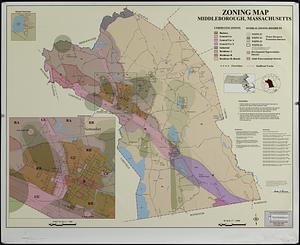
Middleborough, Massachusetts, zoning map
102.
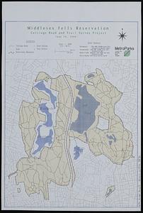
Middlesex Fells Reservation : carriage road and trail survey project
103.
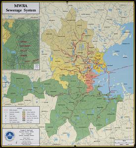
MWRA sewerage system
104.
Nantucket coastal high hazard area mapping project
105.
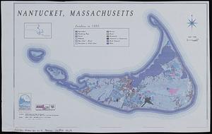
Nantucket, Massachusetts : landuse in 1985
106.
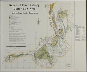
Neponset River estuary master plan area
107.
New England fishery management region
108.
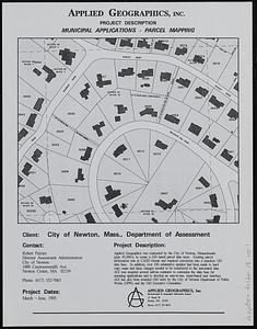
Newton, Mass. parcel mapping project
109.
Nomans Land Massachusetts : [coastal high hazard area mapping project]
110.
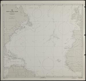
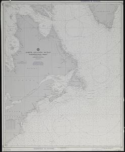
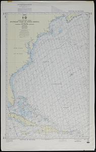
North Atlantic Ocean : compiled from various sources
111.
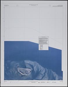
North Atlantic Ocean, northwestern sheet
112.
North Atlantic Ocean, southeast coast of North America, including the Bahamas and Greater Antilles
113.
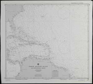
North Atlantic Ocean, southwestern sheet
114.
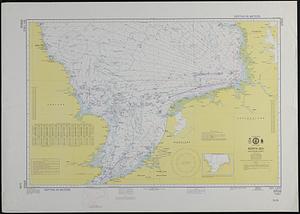
North Sea, southern sheet
115.
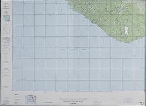
Operational navigation chart 1:1,000,000 : ONC L-1, Guinea, Ivory Coast, Liberia, Sierra Leone
116.
Orthophoto index
117.
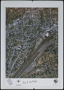
Orthophoto of a part of Greenwich, Connecticut
118.
Orthophoto quads index
119.
Outline map of Massachusetts
120.
Outline map of the coastal area of Bristol County, Mass. showing wetlands, political boundaries, and ponds & streams
‹ Prev
Next ›
1
2
3
4
5
6
7
8
9
10