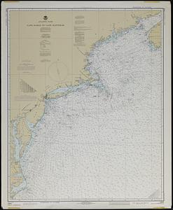
New England fishery management region
Item Information
- Title:
- New England fishery management region
- Title (alt.):
-
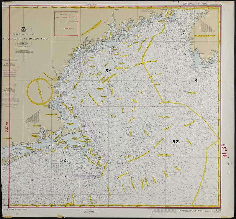
United States--east coast, West Quoddy Head to New York
- Cartographer:
- National Ocean Survey
- Date:
-
[ca. 1970–1979]
- Format:
-
Maps/Atlases
- Genre:
-
Nautical charts
- Location:
-
Boston Public Library
Norman B. Leventhal Map & Education Center - Collection (local):
-
Applied Geographics, Inc. Records
- Subjects:
-
Maine, Gulf of--Navigation
Atlantic Coast (New England)--Navigation
Fisheries--New England
Fishery law and legislation--New England
Fishery law and legislation--North Atlantic Ocean
- Places:
-
Maine, Gulf of
New England (area)
- Extent:
- 1 map : color : 83 x 88 cm
- Terms of Use:
-
No known copyright restrictions.
No known restrictions on use.
- Scale:
-
Scale 1:675,000 at Lat. 43°
- Projection:
- Mercator projection
- Language:
-
English
- Notes:
-
Map outlining fishery regions drawn in red and black ink, red and yellow marker, and adhesive labels on top of a base nautical chart of United States--east coast, West Quoddy Head to New York by National Ocean Survey published approximately 1970s.
Shows U.S. (FCZ) boundaries and ICNAF subdivisions.
Depths shown by isolines and soundings.
"Soundings in fathoms."
Relief shown by spot heights.
"Heights in feet."
"For offshore navigation only."
"13006 (formerly C&GS 70)."
Left portion of base map has been cut off.
- Identifier:
-
06_01_019088
- Call #:
-
AppGeo Folder 33 no.1