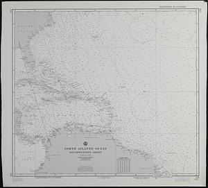
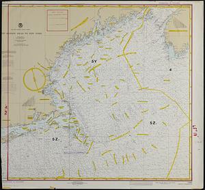
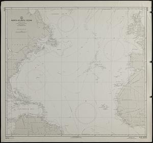
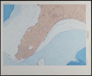
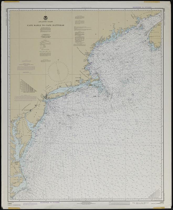
Atlantic coast, Cape Sable to Cape Hatteras
Item Information
- Title:
- Atlantic coast, Cape Sable to Cape Hatteras
- Cartographer:
- National Ocean Survey
- Name on Item:
-
National Ocean Survey
- Date:
-
1981
- Format:
-
Maps/Atlases
- Genre:
-
Nautical charts
- Location:
-
Boston Public Library
Norman B. Leventhal Map & Education Center - Collection (local):
-
Applied Geographics, Inc. Records
- Subjects:
-
Atlantic Coast (U.S.)--Maps
Maine, Gulf of--Navigation
North Atlantic Ocean--Navigation
- Places:
-
Northeastern United States (area)
Maine, Gulf of
- Extent:
- 1 map : color ; 101 x 81 cm
- Terms of Use:
-
No known copyright restrictions.
No known restrictions on use.
- Publisher:
-
Washington, D.C. :
U.S. Department of Commerce, National Oceanic and Atmospheric Administration, National Ocean Survey
- Edition:
- 34th ed. Feb. 28/81.
- Scale:
-
Scale 1:1,200,000 at lat. 40°00'
- Projection:
- Mercator projection
- Language:
-
English
- Notes:
-
Depths shown by isolines and soundings.
Relief shown by hachures and spot heights.
"Soundings in fathoms."
"For offshore navigation only."
"LORAN-C overprinted."
"Formerly C & GS 1000, 1st. ed. Apr. 1900 C-1943-587."
Includes notes.
- Identifier:
-
06_01_019097
- Call #:
-
AppGeo Folder 33 no.11