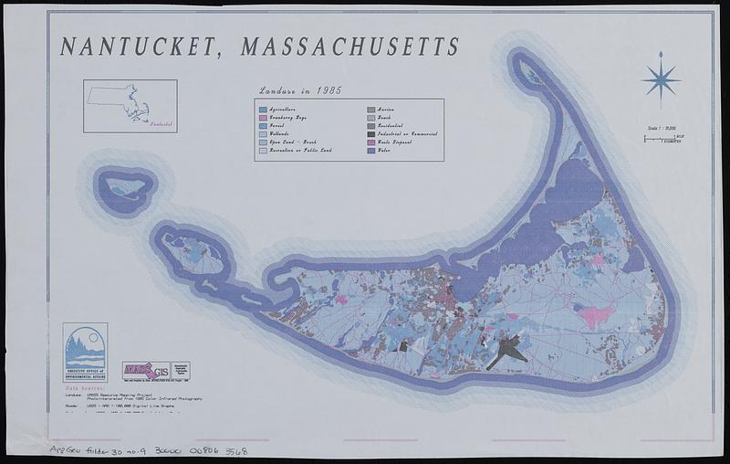
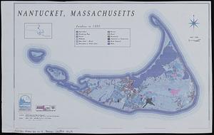
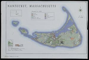
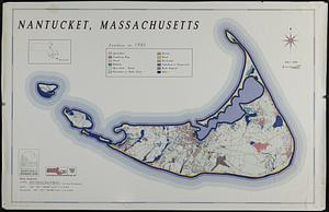
Nantucket, Massachusetts : landuse in 1985
Item Information
- Title:
- Nantucket, Massachusetts : landuse in 1985
- Cartographer:
- MassGIS (Office : Mass.)
- Contributor:
- Massachusetts. Executive Office of Environmental Affairs
- Name on Item:
-
Executive Office of Environmental Affairs ; MassGIS
- Date:
-
1988
- Format:
-
Maps/Atlases
- Location:
-
Boston Public Library
Norman B. Leventhal Map & Education Center - Collection (local):
-
Applied Geographics, Inc. Records
- Subjects:
-
Nantucket (Mass.)--Maps
Land use--Massachusetts--Nantucket--Maps
- Places:
-
MassachusettsNantucket (county)Nantucket Island (island)Nantucket
- Extent:
- 3 maps : color ; 73 x 114 cm and 25 x 39 cm
- Terms of Use:
-
No known copyright restrictions.
No known restrictions on use.
- Scale:
-
Scale 1:31,000
- Language:
-
English
- Notes:
-
Inset: Location map.
- Identifier:
-
06_01_019046
06_01_019082
06_01_019083
- Call #:
-
AppGeo Folder 30 no. 9
AppGeo Folder 31 no. 22-23
- Barcode:
-
30000008063568
30000008064317


