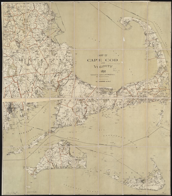
Map of Cape Cod and vicinity
Item Information
- Title:
- Map of Cape Cod and vicinity
- Creator:
- Geo. H. Walker & Co
- Date:
-
1892
- Format:
-
Maps/Atlases
- Location:
-
Boston Public Library
Norman B. Leventhal Map & Education Center - Collection (local):
-
Norman B. Leventhal Map & Education Center Collection
- Subjects:
-
Cape Cod (Mass.)--Maps
Nantucket (Mass.)--Maps
Martha's Vineyard (Mass.)--Maps
- Places:
-
MassachusettsBarnstable (county)Cape Cod (area)
MassachusettsDukes (county)Martha's Vineyard (island)
MassachusettsNantucket (county)Nantucket Island (island)Nantucket
- Extent:
- 1 map : col. ; 84 x 71 cm.
- Terms of Use:
-
No known copyright restrictions.
No known restrictions on use.
- Publisher:
-
Boston, Mass :
Geo. H. Walker & Co.
- Scale:
-
Scale [1:126,720].
- Language:
-
English
- Notes:
-
Shows town boundaries and steamboat and excursion lines.
Covers Cape Cod, Martha's Vineyard, Nantucket Island, and part of southeastern Massachusetts.
Relief shown by spot heights.
- Identifier:
-
06_01_002648
- Call #:
-
G3762.C35 1892 .G4
- Barcode:
-
39999058996636


