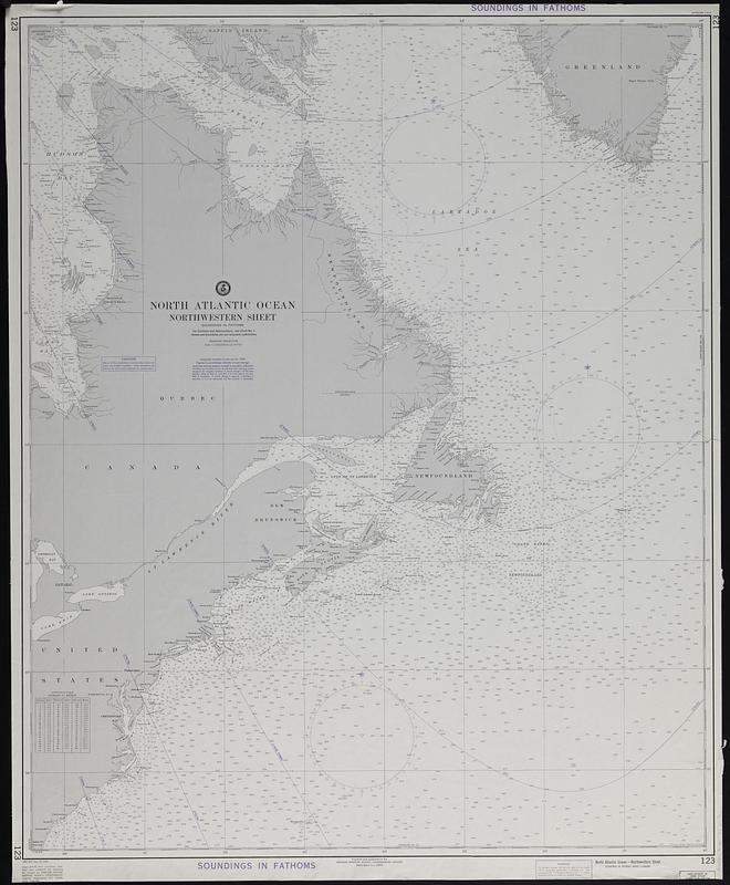
North Atlantic Ocean, northwestern sheet
Item Information
- Title:
- North Atlantic Ocean, northwestern sheet
- Publisher:
- United States. Defense Mapping Agency. Hydrographic Center
- Name on Item:
-
prepared and published by the Defense Mapping Agency, Hydrographic Center
- Date:
-
[1975]
- Format:
-
Maps/Atlases
- Genre:
-
Nautical charts
- Location:
-
Boston Public Library
Norman B. Leventhal Map & Education Center - Collection (local):
-
Applied Geographics, Inc. Records
- Subjects:
-
North Atlantic Ocean--Navigation--Maps
- Places:
-
Atlantic Ocean
- Extent:
- 1 map : color ; 102 x 83 cm
- Terms of Use:
-
No known copyright restrictions.
No known restrictions on use.
- Publisher:
-
Washington, D.C. :
Defense Mapping Agency Hydrographic Center
- Edition:
- 44th ed., Dec. 20, 1975.
- Scale:
-
Scale 1:3,619,000 at lat. 50°00'
- Projection:
- Mercator projection
- Language:
-
English
- Notes:
-
Depths show by isolines and soundings.
"Soundings in fathoms."
Includes conversion table for fathoms to meters.
"123."
- Notes (date):
-
This date is inferred.
- Identifier:
-
06_01_019092
- Call #:
-
AppGeo Folder 33 no.6


