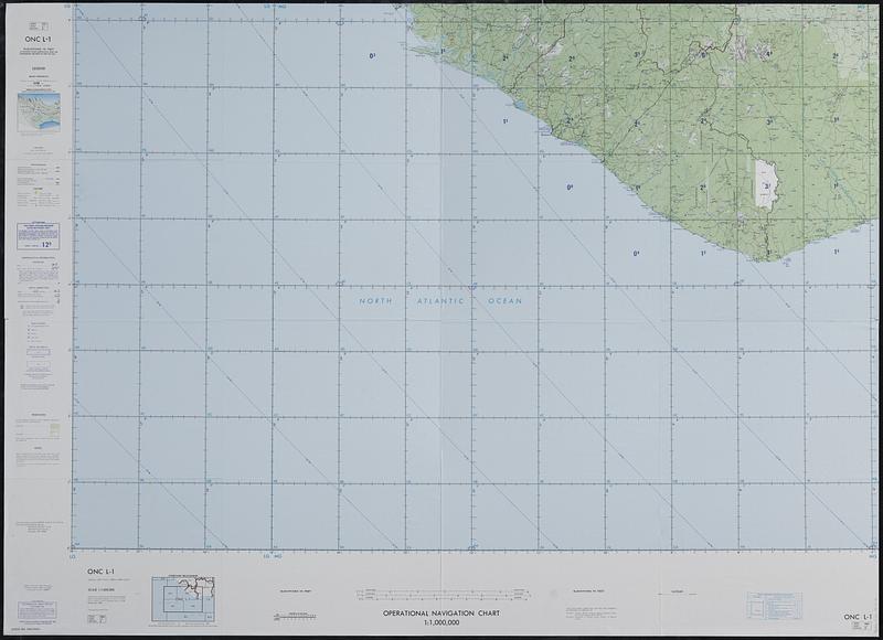
Operational navigation chart 1:1,000,000 : ONC L-1, Guinea, Ivory Coast, Liberia, Sierra Leone
Item Information
- Title:
- Operational navigation chart 1:1,000,000 : ONC L-1, Guinea, Ivory Coast, Liberia, Sierra Leone
- Issuing body:
- Aerospace Center (U.S.)
- Name on Item:
-
prepared and published by the Defense Mapping Agency Aerospace Center
- Date:
-
1980
- Format:
-
Maps/Atlases
- Location:
-
Boston Public Library
Norman B. Leventhal Map & Education Center - Collection (local):
-
Applied Geographics, Inc. Records
- Subjects:
-
Aeronautical charts--Guinea
Aeronautical charts--Côte d'Ivoire
Aeronautical charts--Liberia
Aeronautical charts--Sierra Leone
- Places:
-
Guinea
Côte d'Ivoire
Liberia
Sierra Leone
- Extent:
- 1 map : color ; 92 x 135 cm
- Terms of Use:
-
No known copyright restrictions.
No known restrictions on use.
- Publisher:
-
St. Louis, Mo.; Riverdale, MD :
The Center ; NOAA Distribution Branch (N/CG33), National Ocean Service [distributor]
- Edition:
- Ed. 6.
- Scale:
-
Scale 1:1,000,000
- Projection:
- Lambert conformal conic proj., standard parallels 1°20' and 6°40'
- Language:
-
English
- Notes:
-
Relief shown by contours, tints, and spot heights.
"Air information current through 9 September 1980."
Includes index to adjoining sheets.
- Identifier:
-
06_01_019106
- Call #:
-
AppGeo Folder 34 no.16


