Toggle navigation
LMEC Home
Exhibitions
Georeferencing
Tools for Teachers
Collections
My Favorites
Sign Up / Log In
Search
Search the map portal
Map Collection
Map Collection
Map Sets
Search
Search
Search for
Search In
All Fields
Creator
Title
Subject
Place
Search All Digital Collections
Advanced Search
8700 Results
My Search
Start Over
More Like
commonwealth:x059cd37q
Remove constraint More Like: commonwealth:x059cd37q
Filter your Search
Place
North and Central America
5,931
United States
4,849
Massachusetts
2,068
Europe
1,392
Suffolk (county)
1,041
Boston
1,014
Canada
463
Asia
437
more
Place
»
Topic
Boston (Mass.)--Maps
582
United States--Maps
327
Real property--Massachusetts--Boston--Maps
175
Massachusetts--Maps
161
Landowners--Massachusetts--Boston--Maps
133
North America--Maps--Early works to 1800
103
New England--Maps
101
Europe--Maps
79
more
Topic
»
Date
Date range begin
–
Date range end
Current results range from
1482
to
2023
View distribution
Creator
United States. Hydrographic Office
595
O.H. Bailey & Co
148
Des Barres, Joseph F. W. (Joseph Frederick Wallet), 1722-1824
123
United States. Post Office Dept
120
Ptolemy, 2nd cent
100
Walling, Henry Francis, 1825-1888
94
Geological Survey (U.S.)
87
Jefferys, Thomas, -1771
85
more
Creator
»
Format
Maps/Atlases
8,640
Manuscripts
215
Prints
56
Books
36
Objects/Artifacts
10
Drawings/Illustrations
8
Posters
5
Georeferenced
Yes
871
No
7,829
Collection
Norman B. Leventhal Map & Education Center Collection
8,652
Boston and New England Maps
2,221
Urban Maps
1,992
Maritime Charts and Atlases
1,083
American Revolutionary War-Era Maps
661
Boston Redevelopment Authority Collection
87
American Antiquarian Society Collection
21
William L. Clements Library Collection
16
more
Collection
»
Available to use
No known restrictions
8,508
Creative Commons license
50
Search Constraints
Sort by relevance
relevance
title
date (asc)
date (desc)
Number of results to display per page
20 per page
10
per page
20
per page
50
per page
100
per page
View results as:
grid view
map view
Search Results
1.
Map of the United States of America, Mexico, Central America, and the West India Islands
2.
Map of the United States of America, the British Provinces, Mexico, the West Indies and Central America, with part of New...
3.
Map of the United States of America, the British provinces, Mexico, the West Indies and Central America, with part of New...
4.
The countries of the Caribbean : including Mexico, Central America, the West Indies and the Panama Canal
5.
A map of the United States and Canada, New-Scotland, New-Brunswick and New-Foundland = Carte des Etats-Unis avec le Canada, la...
6.
Case's map of the United States, the British provinces, Mexico, and part of the West Indies : compiled from the latest...
7.
Colton's map of the United States of America, the British provinces, Mexico and the West Indies : showing the country from the...
8.
General railway map engraved expressly for the Official guide of the railways and steam navigation lines of the United States,...
9.
Map of the Mexican National Railway : showing also its relative position to the railway system of the United States, both as to...
10.
Map of the United States of North America, upper & lower Canada, New Brunswick, Nova Scotia & British Columbia, Mexico, Cuba,...
11.
The southwestern railroad system United States and Mexico
12.
Chart of the West Indies and Spanish Dominions in North America
13.
Map of Central America, Cuba, Porto Rico, and the islands of the Caribbean Sea
14.
Mittel-America und Westindien
15.
Nord-u. Mittel-Amerika
16.
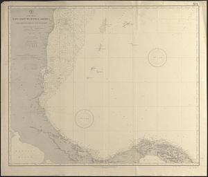
North America, east coast of Central America, Cape Gracias á Dios to Gulf of Darien : compiled from the latest British surveys...
17.
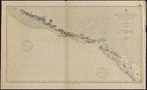
North America, west coast of Central America, Ocos River to San Juan del Sur
18.
Spanish North America, southern part
19.
West Indien und Mittel America
20.
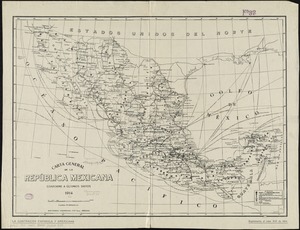
Carta general de la República Mexicana conforme a últimos datos
‹ Prev
Next ›
1
2
3
4
5
…
434
435