Toggle navigation
LMEC Home
Exhibitions
Georeferencing
Tools for Teachers
Collections
My Favorites
Sign Up / Log In
Search
Search the map portal
Map Collection
Map Collection
Map Sets
Search
Search
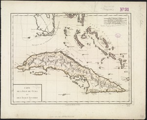
Search for
Search In
All Fields
Creator
Title
Subject
Place
Search All Digital Collections
Advanced Search
8177 Results
My Search
Start Over
More Like
commonwealth:x059cd223
Remove constraint More Like: commonwealth:x059cd223
Filter your Search
Place
North and Central America
4,918
United States
3,604
Suffolk (county)
1,026
Boston
999
Europe
963
Canada
427
France
269
Massachusetts
249
more
Place
»
Topic
Boston (Mass.)--Maps
574
United States--Maps
270
Real property--Massachusetts--Boston--Maps
174
Massachusetts--Maps
160
Landowners--Massachusetts--Boston--Maps
132
North America--Maps--Early works to 1800
106
New England--Maps
99
Europe--Maps
78
more
Topic
»
Date
Date range begin
–
Date range end
Current results range from
1482
to
2023
View distribution
Creator
United States. Hydrographic Office
357
O.H. Bailey & Co
148
Des Barres, Joseph F. W. (Joseph Frederick Wallet), 1722-1824
123
United States. Post Office Dept
120
Ptolemy, 2nd cent
100
Walling, Henry Francis, 1825-1888
94
Jefferys, Thomas, -1771
87
Geological Survey (U.S.)
82
more
Creator
»
Format
Maps/Atlases
8,118
Manuscripts
223
Prints
51
Books
36
Objects/Artifacts
10
Drawings/Illustrations
8
Posters
4
Georeferenced
Yes
871
No
7,306
Collection
Norman B. Leventhal Map Center Collection
8,162
Boston and New England Maps
2,184
Urban Maps
1,925
Maritime Charts and Atlases
751
American Revolutionary War-Era Maps
631
Boston Redevelopment Authority Collection
86
Richard H. Brown Revolutionary War Map Collection at Mount Vernon
6
Newberry Library Collection
5
more
Collection
»
Available to use
No known restrictions
8,021
Creative Commons license
56
Search Constraints
Sort by relevance
relevance
title
date (asc)
date (desc)
Number of results to display per page
50 per page
10
per page
20
per page
50
per page
100
per page
View results as:
grid view
map view
Search Results
1.
Beschryvinghe der eylanden van Cuba, Hispaniola, Iamaica, S. Ioannis ende Margarita
2.
A new & accurate map of the islands of Hispaniola or St. Domingo, and Porto Rico
3.
Carta particolare del'Isola di Cuba è di Iamaica con il capo della Florida è l'Isola Intorno
4.
Cuba en Iamaica : soo als die door Kolumbus ontdekt, en by de Kastilianen bevolkt sijn = Iles de Cuba et de la Jamaique : ainsi...
5.
Pas kaart van de zuyd kust van Cuba en van geheel Yamaica en and're bygeleegen plaatsen
6.
Plans des isles, rades, et ports de plusieurs lieux de l'Amérique : tirés de la Carte angloise de Mr. Popple publiée en 1733...
7.
Dominia anglorum in præcipuis insulis Americæ ut sunt insula : S. Christophori, Antegoa, Iamaica, Barbados : nec non insulae...
8.
A generall mapp of the continent and islands which bee adjacent to Jamaica : A new mapp of the Island of Jamaica
9.
The principall islands in America belonging to the English empire viz Iamaica, Barbados, Antegoa, St. Christophers & Bermudos
10.
Port de St. Augustin -- Port de la Providence -- La Havane dans l'isle de Cuba -- Baye de Sn. Iago dans l'isle de Cuba -- Port...
11.
Carta particolare dell'Isola Ispaniola è S. Gioni. nel'India ocidentle. con l'Isola Intorno
12.
Pas kaart van t eyland S. Iuan de Porto Rico, met d eylanden daar beoosten
13.
An accurate map of Cuba, and the adjacent islands
14.
Carta particolare della Baia di Messico con la costa
15.
Carte de l'Isle de Cuba et des Isles Lucayes
16.
Carte réduite de l'isle de Cube
17.
Isola Cuba
18.
A map of the isle of Cuba : with the Bahama Islands, Gulf of Florida, and Windward Passage ; drawn from English and Spanish...
19.
[Mexico and Central America]
20.
A new chart of the seas surrounding the island of Cuba, with the soundings, currents, ships, courses &c. and a map of the...
21.
Carte de l'Isle de la Jamaique
22.
Carte de l'isle de la Jamaïque
23.
A chart of Montego Bay on the north west shore of the island of Jamaica : Port Antonio on the north east shore of the island of...
24.
Iamaica
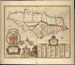
25.
Insula Iamaica : in suas parochias divisa et secundum exemplar primitivum Londinense excusa
26.
The island of Jamaica
27.
The island of Jamaica, divided into its principal parishes, with the roads &c
28.
Jamaica
29.
Jamaica, from the latest surveys
30.
Novissima et accuratissima Insulae Jamaicae
31.
Bahía y ciudad de Bayaha, o Puerto del Delfin, en la Isla de Santo Domingo
32.
Carte de l'isle de Saint Domingue
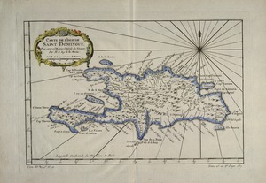
33.
Carte de l'Isle de Saint Domingue
34.
Carte de L'Isle de St. Domingue une des Grandes Antilles, Colonies Francoise et Espagnole
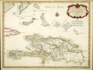
35.
Carte des isles situées au nord de St. Domingue : avec les passages pour le retour appellés Debouqemens 1763
36.
A chart of the iland of Hispaniola : with the Windward passage from Iamaica betwene ye east end of Cuba & the west end of...
37.
Environs de Leogane et du Port Au Prince dans l'Isle de St. Domingue
38.
The island of Hispaniola called by the French St. Domingo : subject to France & Spain
39.
Isle of St. Domingo or Hispaniola
40.
A map of the island of St. Domingo
41.
La partie Francoise de l'isle de Saint Domingue
42.
Plan de la Rade et Ville du Petit Goave dans i'Isle de St. Domingue
43.
La Spagnuola
44.
Spagnvola
45.
Spagnvola
46.
[Alleen de Caribische Eilanden, vervat in 't groot]
47.
Carta esferica que comprende una parta de las Islas Antillas, las de Puerto Rico, Santo Domingo y Jamayca y Cuba : con los...
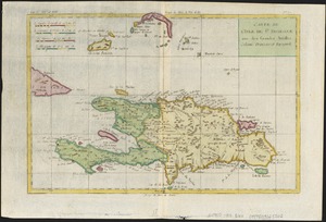
48.
Carta particolare dell' Isola di Bermuda sin all' India Occidentale et al' capo S. Romano della Florida
49.
Carte des isles Antilles et du Golfe du Mexique : avec la majeure partie de la nouvelle Espagne
50.
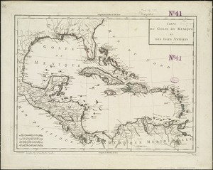
Carte du Golfe du Mexique et des Isles Antilles
‹ Prev
Next ›
1
2
3
4
5
…
163
164


![[Mexico and Central America]](https://bpldcassets.blob.core.windows.net/derivatives/images/commonwealth:cj82m4685/image_thumbnail_300.jpg)


![[Alleen de Caribische Eilanden, vervat in 't groot]](https://bpldcassets.blob.core.windows.net/derivatives/images/commonwealth:st74cw59p/image_thumbnail_300.jpg)