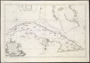
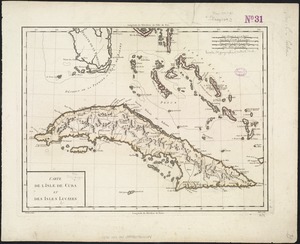
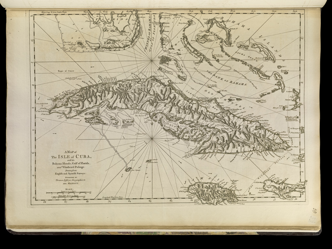
A map of the isle of Cuba : with the Bahama Islands, Gulf of Florida, and Windward Passage ; drawn from English and Spanish surveys
Item Information
- Title:
- A map of the isle of Cuba : with the Bahama Islands, Gulf of Florida, and Windward Passage ; drawn from English and Spanish surveys
- Creator:
- Jefferys, Thomas, -1771
- Publisher:
- Sayer, Robert, 1725-1794
- Name on Item:
-
engraved by Thomas Jefferys, geographer to His Majesty
- Date:
-
[1762]
- Format:
-
Maps/Atlases
- Location:
-
Boston Public Library
Norman B. Leventhal Map & Education Center - Collection (local):
-
Norman B. Leventhal Map & Education Center Collection
- Subjects:
-
Nautical charts--Cuba--Early works to 1800
Cuba--Maps--Early works to 1800
Bahamas--Maps--Early works to 1800
- Places:
-
Cuba
Bahamas
- Extent:
- 1 map ; 35 x 48 cm.
- Terms of Use:
-
No known copyright restrictions.
No known restrictions on use.
- Publisher:
-
London :
Printed for Robert Sayer, ... and Thomas Jefferys
- Scale:
-
Scale [ca. 1:2,750,000]
- Language:
-
English
- Notes:
-
Prime meridians: London and Ferro.
Relief shown pictorially. Depths shown by soundings.
Appears in Jefferys' General topography of North America and the West Indies. London: Printed for Robert Sayer, ... and Thomas Jefferys, 1768.
- Notes (date):
-
This date is inferred.
- Notes (citation):
-
LC Maps of North America, 1750-1789, 1781
Phillips, 1196
- Identifier:
-
4000137_0091r
- Call #:
-
G1105 .J4 1768
- Barcode:
-
30000003255943