Search Constraints
Search Results


162. Union Park


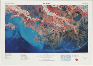
168. New Orleans


172. Southern Asia


174. British Isles


183. T system map


185. City of Boston


187. Acapulco, México


189. Appleton St. Woonerf


197. Parcel 22


