Toggle navigation
LMEC Home
Exhibitions
Georeferencing
Tools for Teachers
Collections
My Favorites
Sign Up / Log In
Search
Search the map portal
Map Collection
Map Collection
Map Sets
Search
Search
Search for
Search In
All Fields
Creator
Title
Subject
Place
Search All Digital Collections
Advanced Search
8712 Results
My Search
Start Over
More Like
commonwealth:4m90fh92c
Remove constraint More Like: commonwealth:4m90fh92c
Filter your Search
Place
North and Central America
6,003
United States
4,851
Massachusetts
2,053
Europe
1,359
Suffolk (county)
1,034
Boston
1,007
Canada
544
Asia
422
more
Place
»
Topic
Boston (Mass.)--Maps
577
United States--Maps
275
Real property--Massachusetts--Boston--Maps
174
Massachusetts--Maps
161
United States--History--French and Indian War, 1754-1763--Maps
161
Landowners--Massachusetts--Boston--Maps
132
North America--Maps--Early works to 1800
103
New England--Maps
101
more
Topic
»
Date
Date range begin
–
Date range end
Current results range from
1482
to
2023
View distribution
Creator
United States. Hydrographic Office
594
O.H. Bailey & Co
148
Des Barres, Joseph F. W. (Joseph Frederick Wallet), 1722-1824
123
United States. Post Office Dept
120
Ptolemy, 2nd cent
100
Jefferys, Thomas, -1771
99
Walling, Henry Francis, 1825-1888
94
Geological Survey (U.S.)
86
more
Creator
»
Format
Maps/Atlases
8,652
Manuscripts
216
Prints
57
Books
36
Objects/Artifacts
10
Drawings/Illustrations
8
Posters
4
Georeferenced
Yes
869
No
7,843
Collection
Norman B. Leventhal Map & Education Center Collection
8,549
Boston and New England Maps
2,204
Urban Maps
1,936
Maritime Charts and Atlases
1,081
American Revolutionary War-Era Maps
779
William L. Clements Library Collection
149
Boston Redevelopment Authority Collection
87
American Antiquarian Society Collection
9
more
Collection
»
Available to use
No known restrictions
8,409
Creative Commons license
50
Search Constraints
Sort by relevance
relevance
title
date (asc)
date (desc)
Number of results to display per page
20 per page
10
per page
20
per page
50
per page
100
per page
View results as:
grid view
map view
Search Results
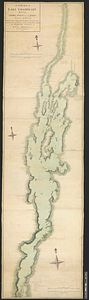
161.
Southern portion of Lake Megantic and the Dead River : Québec July 25th, 1761
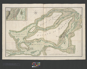
162.
The St. Lawrence River between Coteau des Cedres and Varennes
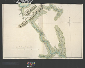
163.
The St. Lawrence River between Trois Rivières and Grondines Parish
164.
The St. Lawrence River from the Rapids of Richelieu to Cape Torment
165.
A survey of Lake Champlain including Crown Point and St: John's : surveyed by order of his excellency Major Genl: Sir Jeffery...
166.
A survey of the city and fortress of Louisbourg, the harbour, and their environs, from Fresh Water Cove in Gabarouse Bay to...
167.
Town of Three Rivers
168.
Upper New York, Vermont, and Massachusetts
169.
Western shore of Jesus Island and Mille Îles River
170.
The 100th anniversary map of Abraham Lincoln's visit to Massachusetts, September 11-23, 1848
171.
1630 shoreline
172.
1879. Progress map of the U.S. Geographical Surveys west of the 100th Meridian : prepared under the direction of 1st Lieut....
173.
1903 Map of Salem and surrounding places
174.
19th annual convention of the National Association of Real Estate Boards : at Tulsa, June 7 to June 11 in 1926
175.
2005 significant U.S. hurricane strikes
176.
The 2100 project : an atlas for the Green New Deal
177.
227 Harzgerode
178.
305 Glatz
179.
38,000,000 escaped -- 10,000,000 died
180.
4 Kinten
‹ Prev
Next ›
1
2
…
5
6
7
8
9
10
11
12
13
…
435
436