Search Constraints
Search Results

1101. Blackinton, Mass


1103. Black's special war map
1104. Blackwell's Island


1106. Blairstown, New Jersey


![Bloomingville, [Ohio]](https://bpldcassets.blob.core.windows.net/derivatives/images/commonwealth:1v53jx86m/image_thumbnail_300.jpg)
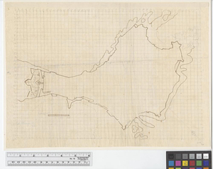
1114. Bloomingville, [Ohio]

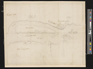
1115. Bloys

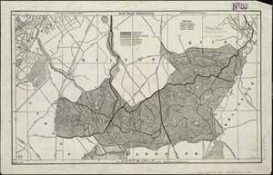
1117. Blue Hills Reservation
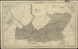
1118. Blue Hills Reservation

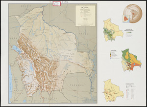
1120. Bolivia
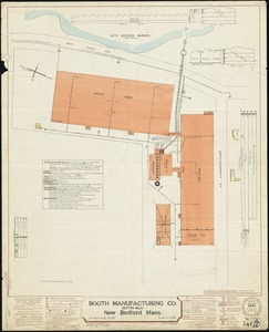
![Booth Manufacturing Co. (Cotton Mill), New Bedford, Mass. [insurance map]](https://bpldcassets.blob.core.windows.net/derivatives/images/commonwealth:ww72bz36k/image_thumbnail_300.jpg)
![Borden-Shawmut Corp., Fall River, Mass. [insurance map]](https://bpldcassets.blob.core.windows.net/derivatives/images/commonwealth:4j03df51w/image_thumbnail_300.jpg)
1130. Boston : 1899

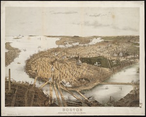
1131. Boston

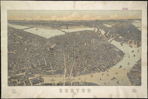
1132. Boston

1133. Boston

1134. Boston

1135. Boston

1136. Boston

1137. Boston
1138. Boston

1139. Boston
1140. Boston
1141. Boston


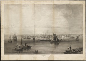
1143. Boston & harbour

1144. Boston, 1838


1148. Boston and its environs

![[Boston and Northwestern Junction Railroad]](https://bpldcassets.blob.core.windows.net/derivatives/images/commonwealth:x059cc74n/image_thumbnail_300.jpg)

1151. Boston and surroundings

1152. Boston and surroundings

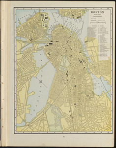
1153. Boston and vicinity

1154. Boston and vicinity


1156. Boston and vicinity
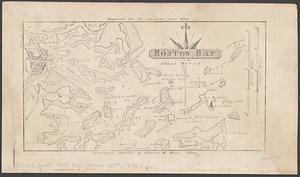
1157. Boston Bay


1159. Boston Bay and Harbor


1182. Boston et ses environs

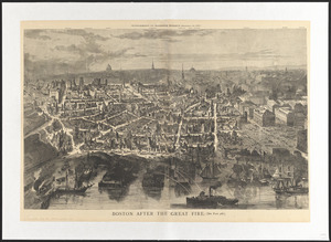
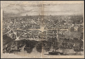
1183. Boston, Feb. 20 1873
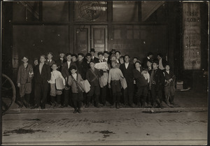
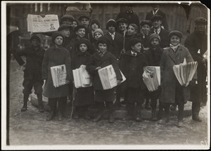
1185. Boston Globe Newsies


1188. Boston Harbor

1189. Boston Harbor

1190. Boston Harbor

1191. Boston Harbor

1192. Boston Harbor

1193. Boston Harbor & vicinity


