Toggle navigation
LMEC Home
Exhibitions
Georeferencing
Tools for Teachers
Collections
My Favorites
Sign Up / Log In
Search
Search the map portal
Map Collection
Map Collection
Map Sets
Search
Search
Search for
Search In
All Fields
Creator
Title
Subject
Place
Search All Digital Collections
Advanced Search
14021 Results
Filter your Search
Place
North and Central America
10,683
United States
8,692
Massachusetts
2,808
Suffolk (county)
1,682
Boston
1,638
Europe
1,420
Canada
1,009
New York
674
more
Place
»
Topic
Boston (Mass.)--Maps
748
City planning--Massachusetts--Boston--Maps
418
United States--History--Revolution, 1775-1783--Maps
331
United States--Maps
328
Real property--Massachusetts--Boston--Maps
254
Urban renewal--Massachusetts--Boston--Maps
254
North America--Maps--Early works to 1800
240
Massachusetts--Maps
234
more
Topic
»
Date
Date range begin
–
Date range end
Current results range from
1482
to
2023
View distribution
Creator
United States. Hydrographic Office
597
Boston Redevelopment Authority
404
Des Barres, Joseph F. W. (Joseph Frederick Wallet), 1722-1824
247
Jefferys, Thomas, -1771
172
Royal United Services Institute for Defence and Security Studies
160
George, III, King of Great Britain, 1738-1820
152
George, IV, King of Great Britain, 1762-1830
151
O.H. Bailey & Co
148
more
Creator
»
Format
Maps/Atlases
13,839
Manuscripts
985
Prints
102
Books
49
Drawings/Illustrations
44
Photographs
15
Objects/Artifacts
13
Documents
7
more
Format
»
Georeferenced
Yes
979
No
13,042
Collection
Norman B. Leventhal Map & Education Center Collection
9,110
American Revolutionary War-Era Maps
3,627
Boston and New England Maps
2,921
Urban Maps
2,480
Maritime Charts and Atlases
1,169
William L. Clements Library Collection
910
Library of Congress Collection
618
Boston Redevelopment Authority Collection
475
more
Collection
»
Available to use
No known restrictions
10,268
Creative Commons license
1,678
Search Constraints
Sort by relevance
relevance
title
date (asc)
date (desc)
Number of results to display per page
20 per page
10
per page
20
per page
50
per page
100
per page
View results as:
grid view
map view
Search Results
8821.
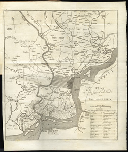
Plan der gegend und stadt von Philadelphia
8822.
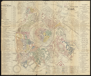
Plan der k.k. haupt- und residenzstadt Wien
8823.
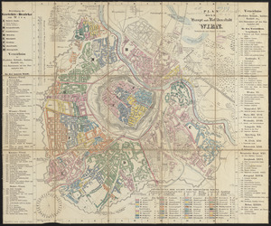
Plan der k.k. haupt- und residenzstadt Wien
8824.
Plan der landung der Gebrüdere Howe, bey dem ausfluss des Elk Strom ...Lords Cornwallis
8825.
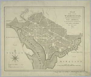
Plan der stad Washington : bestemd tot de hoofdstad van America, en ter bestendige verblijfplaats van het Congres, naa het jaar...
8826.
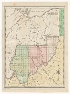
Plan des achats des compagnies de l'Ohio et du Scioto
8827.
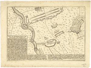
Plan des befestigten lagers der Amerikaner bey Whitemarsh
8828.
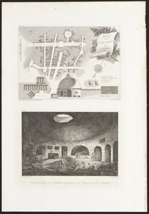
Plan des catacombes de Syracuse ; intérieur d'une des chambres sépulcrales des catacombes
8829.
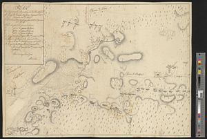
Plan des environs de Brookland &c a Bettford : levé à coup d'oeil
8830.
Plan des environs de Kingsbridge jusqu'au Fort Knyphausen avec les ouvrages de fortification faites dans l'année 1779 & de ceux...
8831.
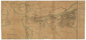
Plan des environs de New York (manuscrit) - Position du camp de l'armée combinée à Philippsburg du 6 juillet au 19 août -...
8832.
Plan des environs de West Point jusqu'au Croton River... : Morrishous ce 14me Juin 1779
8833.
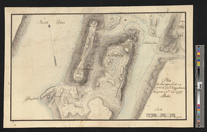
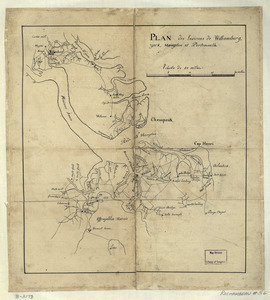
Plan des environs de Williamsburg, York, Hampton, et Portsmouth
8834.
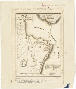
Plan des forts, batteries et poste de West-Point, 1780
8835.
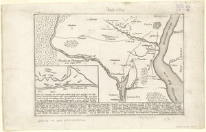
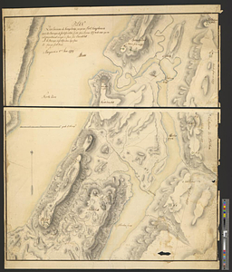
Plan des forts de Chouaguen avec le débarquement, le camp et les attaques de l'armée commandée par Mr le Marquis de Montcalm,...
8836.
Plan des jenigen treffen welches am 8. Sept 1755. zwischen dem Engl. Gen. Johnson, und dem Franz. Gen. Diesckau welcher dabey...
8837.
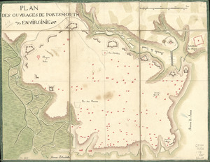
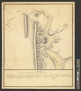
Plan des ouvrages de Portsmouth en Virginie
8838.
Plan des ouvrages de Portsmouth en Virginie
8839.
Plan des ouvrages faites en front du fort Knyphausen, New Yorck ce 4 me. Novr 1779
8840.
Plan des ouvrages faits à York-town en Virginie
‹ Prev
Next ›
1
2
…
438
439
440
441
442
443
444
445
446
…
701
702
![Plan des forts de Chouaguen avec le débarquement, le camp et les attaques de l'armée commandée par Mr le Marquis de Montcalm, Jean-Nicolas Desandrouins [Oswego]](https://bpldcassets.blob.core.windows.net/derivatives/images/commonwealth:5138nc68v/image_thumbnail_300.jpg)