Toggle navigation
LMEC Home
Exhibitions
Georeferencing
Tools for Teachers
Collections
My Favorites
Sign Up / Log In
Search
Search the map portal
Map Collection
Map Collection
Map Sets
Search
Search
Search for
Search In
All Fields
Creator
Title
Subject
Place
Search All Digital Collections
Advanced Search
14021 Results
Filter your Search
Place
North and Central America
10,683
United States
8,692
Massachusetts
2,808
Suffolk (county)
1,682
Boston
1,638
Europe
1,420
Canada
1,009
New York
674
more
Place
»
Topic
Boston (Mass.)--Maps
748
City planning--Massachusetts--Boston--Maps
418
United States--History--Revolution, 1775-1783--Maps
331
United States--Maps
328
Real property--Massachusetts--Boston--Maps
254
Urban renewal--Massachusetts--Boston--Maps
254
North America--Maps--Early works to 1800
240
Massachusetts--Maps
234
more
Topic
»
Date
Date range begin
–
Date range end
Current results range from
1482
to
2023
View distribution
Creator
United States. Hydrographic Office
597
Boston Redevelopment Authority
404
Des Barres, Joseph F. W. (Joseph Frederick Wallet), 1722-1824
247
Jefferys, Thomas, -1771
172
Royal United Services Institute for Defence and Security Studies
160
George, III, King of Great Britain, 1738-1820
152
George, IV, King of Great Britain, 1762-1830
151
O.H. Bailey & Co
148
more
Creator
»
Format
Maps/Atlases
13,839
Manuscripts
985
Prints
102
Books
49
Drawings/Illustrations
44
Photographs
15
Objects/Artifacts
13
Documents
7
more
Format
»
Georeferenced
Yes
979
No
13,042
Collection
Norman B. Leventhal Map & Education Center Collection
9,110
American Revolutionary War-Era Maps
3,627
Boston and New England Maps
2,921
Urban Maps
2,480
Maritime Charts and Atlases
1,169
William L. Clements Library Collection
910
Library of Congress Collection
618
Boston Redevelopment Authority Collection
475
more
Collection
»
Available to use
No known restrictions
10,268
Creative Commons license
1,678
Search Constraints
Sort by relevance
relevance
title
date (asc)
date (desc)
Number of results to display per page
20 per page
10
per page
20
per page
50
per page
100
per page
View results as:
grid view
map view
Search Results
8901.
Plan figuratif du combat du 9 Avril 1782 entre l'armée anglaise comandée par l'amiral Rodney ... & l'armée Française commandée...
8902.
Plan for a complete new harbour, at Howth-town, for the use of his Majesty's mail packet-boats, fishing vessels & in case of a...
8903.
Plan for Boston
8904.
Plan for construction of a new city hall in Boston
8905.
Plan for laying out the village of Oak Bluffs, Martha's Vineyard
8906.
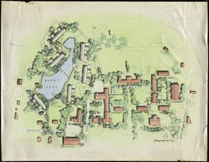
[Plan for proposed Charles River Park]
8907.
Plan for the area around Rabbit Pond
8908.
Plan for the construction of improvements at the Boston Common
8909.
Plan for the diversion and enclosure of Stony Brook : to accompany report of W.H. Bradley, November 1864
8910.
Plan for the improvement of the Central Park, adopted by the Commissioners, June 3rd, 1856
8911.
Plan for the occupation of flats owned by the Commonwealth in Boston Harbor
8912.
Plan for the occupation of flats owned by the Commonwealth in Boston Harbor
8913.
Plan for the occupation of flats owned by the Commonwealth in Boston Harbor
8914.
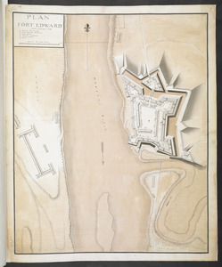
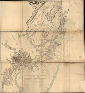
PLAN FORT EDWARD
8915.
Plan from Paulus Hook ferry in the province of East Jersey, to King's Ferry in the province of New York and parts adjacent from...
8916.
Plan from St. Marys to St. Johns
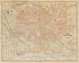
8917.
Plan general de la ville du Caire
8918.
Plan general des operations de l'Armée Britanique contre les rebelles dans l'Amerique : depuis l'arrivée des troupes...
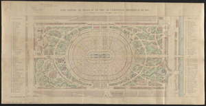
8919.
Plan général du palais et du parc de l'Exposition universelle de 1867
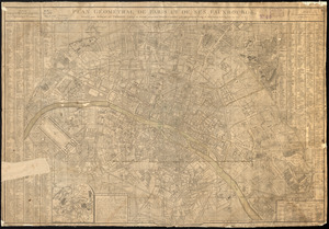
8920.
Plan géométral de Paris et de ses fauxbourgs
‹ Prev
Next ›
1
2
…
442
443
444
445
446
447
448
449
450
…
701
702

![[Plan for proposed Charles River Park]](https://bpldcassets.blob.core.windows.net/derivatives/images/commonwealth:cf95jc91c/image_thumbnail_300.jpg)