Toggle navigation
LMEC Home
Exhibitions
Georeferencing
Tools for Teachers
Collections
My Favorites
Sign Up / Log In
Search
Search the map portal
Map Collection
Map Collection
Map Sets
Search
Search
Search for
Search In
All Fields
Creator
Title
Subject
Place
Search All Digital Collections
Advanced Search
13385 Results
Filter your Search
Place
North and Central America
10,111
United States
8,249
Massachusetts
2,691
Suffolk (county)
1,664
Boston
1,621
Europe
1,386
Canada
949
New York
640
more
Place
»
Topic
Boston (Mass.)--Maps
741
City planning--Massachusetts--Boston--Maps
418
United States--History--Revolution, 1775-1783--Maps
329
United States--Maps
315
Urban renewal--Massachusetts--Boston--Maps
254
Real property--Massachusetts--Boston--Maps
252
Massachusetts--Maps
219
Insurance surveys
197
more
Topic
»
Date
Date range begin
–
Date range end
Current results range from
1482
to
2023
View distribution
Creator
United States. Hydrographic Office
595
Boston Redevelopment Authority
403
Des Barres, Joseph F. W. (Joseph Frederick Wallet), 1722-1824
247
Royal United Services Institute for Defence and Security Studies
160
Jefferys, Thomas, -1771
154
George, III, King of Great Britain, 1738-1820
152
George, IV, King of Great Britain, 1762-1830
151
O.H. Bailey & Co
148
more
Creator
»
Format
Maps/Atlases
13,205
Manuscripts
985
Prints
102
Books
49
Drawings/Illustrations
44
Photographs
15
Objects/Artifacts
13
Documents
7
more
Format
»
Georeferenced
Yes
979
No
12,406
Collection
Norman B. Leventhal Map & Education Center Collection
8,891
American Revolutionary War-Era Maps
3,305
Boston and New England Maps
2,804
Urban Maps
2,397
Maritime Charts and Atlases
1,150
William L. Clements Library Collection
910
Library of Congress Collection
618
Boston Redevelopment Authority Collection
475
more
Collection
»
Available to use
No known restrictions
9,952
Creative Commons license
1,677
Search Constraints
Sort by relevance
relevance
title
date (asc)
date (desc)
Number of results to display per page
20 per page
10
per page
20
per page
50
per page
100
per page
View results as:
grid view
map view
Search Results
8761.
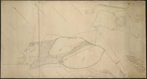
Plan of Deer Island
8762.
Plan of Deer Island (Isle au Haut), made by John Peters, Jr., dated May 21. 1795.
8763.
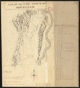
Plan of Deerfield made by Arthur W. Hoyt, dated 1830
8764.
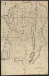
Plan of Deerfield surveyed by D. Hoit, Jr. dated December 1794.
8765.
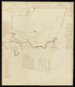
Plan of Dennis made by Benjamin Matthews, Jr., dated 1831
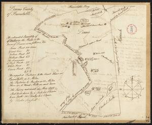
8766.
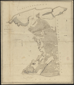
Plan of Dennis surveyed by Elisha Barrett, dated May, 1795.
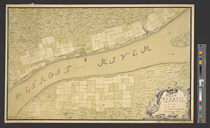
8767.
Plan of Detroit with its environs
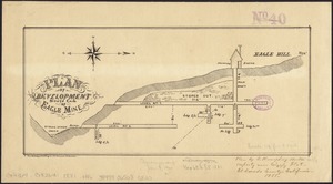
8768.
Plan of development, south end of Eagle Mine
8769.
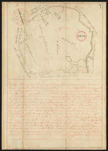
Plan of Dighton made by George Walker, Jr., dated March, 1831
8770.
Plan of Dighton, surveyor's name not given, dated 1794.
8771.
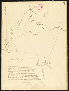
Plan of District of Carlisle, surveyor's name not given, dated 1794-5.
8772.
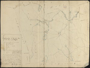
Plan of District of Dover, surveyor's name not given, dated October, 1794.
8773.
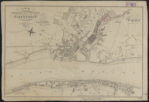
Plan of docks and warehouses proposed to be made at Birkenhead, in the County of Chester
8774.
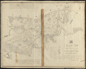
Plan of Dorchester
8775.
Plan of Dorchester and Milton, made by Edmund T. Baker, dated September, 1831
8776.
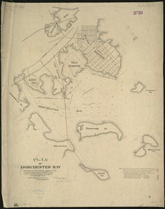
Plan of Dorchester Bay showing its surroundings together with current observations to illustrate the effect of discharging...
8777.
Plan of Dorchester made by Mather Withington, dated September, 1794.
8778.
Plan of Douglas, made by Aaron Marsh, dated 1794-5.
8779.
Plan of Douglas made by Warren Humes, dated October 20, 1831
8780.
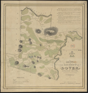
Plan of Dover made by William Ellis, dated 1831
‹ Prev
Next ›
1
2
…
435
436
437
438
439
440
441
442
443
…
669
670