Toggle navigation
LMEC Home
Exhibitions
Georeferencing
Tools for Teachers
Collections
My Favorites
Sign Up / Log In
Search
Search the map portal
Map Collection
Map Collection
Map Sets
Search
Search
Search for
Search In
All Fields
Creator
Title
Subject
Place
Search All Digital Collections
Advanced Search
14021 Results
Filter your Search
Place
North and Central America
10,683
United States
8,692
Massachusetts
2,808
Suffolk (county)
1,682
Boston
1,638
Europe
1,420
Canada
1,009
New York
674
more
Place
»
Topic
Boston (Mass.)--Maps
748
City planning--Massachusetts--Boston--Maps
418
United States--History--Revolution, 1775-1783--Maps
331
United States--Maps
328
Real property--Massachusetts--Boston--Maps
254
Urban renewal--Massachusetts--Boston--Maps
254
North America--Maps--Early works to 1800
240
Massachusetts--Maps
234
more
Topic
»
Date
Date range begin
–
Date range end
Current results range from
1482
to
2023
View distribution
Creator
United States. Hydrographic Office
597
Boston Redevelopment Authority
404
Des Barres, Joseph F. W. (Joseph Frederick Wallet), 1722-1824
247
Jefferys, Thomas, -1771
172
Royal United Services Institute for Defence and Security Studies
160
George, III, King of Great Britain, 1738-1820
152
George, IV, King of Great Britain, 1762-1830
151
O.H. Bailey & Co
148
more
Creator
»
Format
Maps/Atlases
13,839
Manuscripts
985
Prints
102
Books
49
Drawings/Illustrations
44
Photographs
15
Objects/Artifacts
13
Documents
7
more
Format
»
Georeferenced
Yes
979
No
13,042
Collection
Norman B. Leventhal Map & Education Center Collection
9,110
American Revolutionary War-Era Maps
3,627
Boston and New England Maps
2,921
Urban Maps
2,480
Maritime Charts and Atlases
1,169
William L. Clements Library Collection
910
Library of Congress Collection
618
Boston Redevelopment Authority Collection
475
more
Collection
»
Available to use
No known restrictions
10,268
Creative Commons license
1,678
Search Constraints
Sort by relevance
relevance
title
date (asc)
date (desc)
Number of results to display per page
20 per page
10
per page
20
per page
50
per page
100
per page
View results as:
grid view
map view
Search Results
8801.
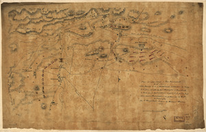
Plan de notre camp à New Brunswick le 12e. juin : notre marche le 14 à Middlebush, la situation du camp le 15e juin, et cette...
8802.
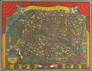
Plan de Paris
8803.
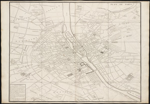
Plan de Paris : commencé l'année 1734
8804.
Plan de Paris avec les projets de percements, et d'embellissements exécutés et a exécuter
8805.
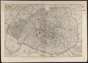
Plan de Paris divisé en 20 arrondissements et 80 quartiers
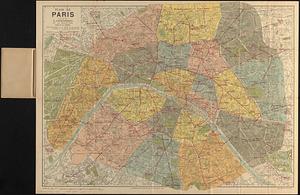
8806.
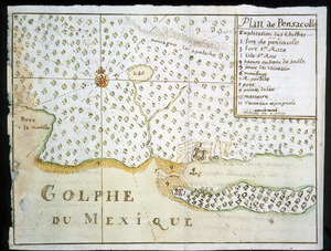
Plan de Pensacolle
8807.
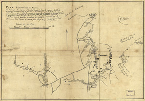
Plan de Portsmouth en Virginie
8808.
Plan de Puerto de Mariel
8809.
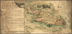
Plan de Rhode Island et les differentes operations de la flotte-françoises et des troupes americaines : commandées par le...
8810.
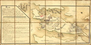
Plan de Rhode Islande, les differentes operations de la flotte françoise et des trouppes Américaines commandeés par le major...
8811.
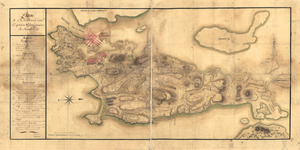
Plan de Rhodes-Island, et position de l'armée françoise a Newport
8812.
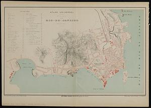
Plan de Rio-de-Janeiro (Bresil)
8813.
Plan de Rome
8814.
Plan de Savannah
8815.
Plan de Toulouse d'apres les derniers documents officiels
8816.
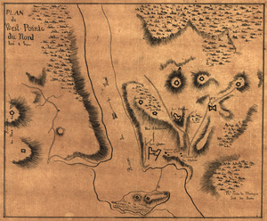
Plan de West-Point du nord, levé a vue
8817.
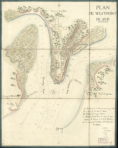
Plan de West-Point du Sud
8818.
Plan de West-Pointe du nord levé a vue
8819.
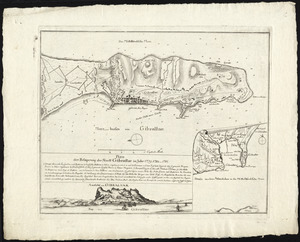
Plan der belagerung der stadt Gibraltar im jahr 1779, 1780, 1781
8820.
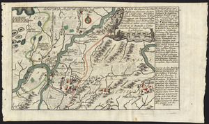
Plan der gegend des Ohio Flusses, wo ohnweit da von am 9 July 1755, zwischen denen Franzofichen u. Engl trouppen ein hiziges...
‹ Prev
Next ›
1
2
…
437
438
439
440
441
442
443
444
445
…
701
702