Search Constraints
Search Results

8101. The Philippine Islands


8111. Philips Radio

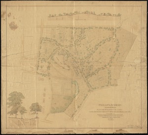
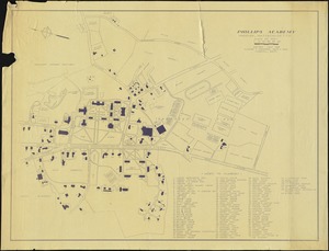
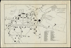
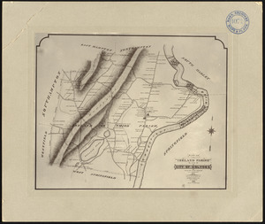
8116. Phillipse Manor


8123. Physical map of Germany


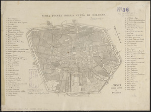


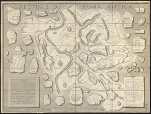

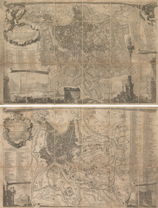
8138. Pianta di Roma
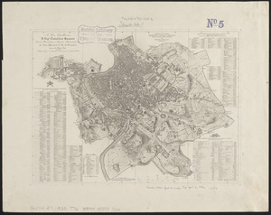
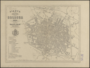
8139. Pianta di Roma

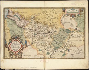
8142. Picardia
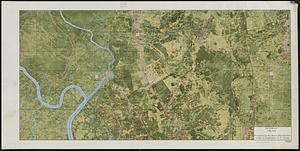
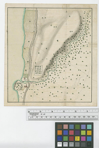
8145. Pictomap


